Sugar Maple Loop
- 0.3 mi
- one way
- 15 ft
- climb
- 975 ft
- high point
- Point to point
- route
- Apr–Oct
- best months
The Sugar Maple Loop is a short loop hike on the Coral Woods 8 parcel of Regional Agency Land in Illinois, about 0.32 miles long and rated easy. The route rises from 946 feet to 975 feet, with a total elevation gain of 15 feet. Its low point is 946 feet, and the steepest stretch comes at 0.14 miles in, with a 3% grade. The trail is a loop, so it returns to its starting point without a second leg to plan. September is one of the most comfortable months to visit, with typical highs around 75°F and lows near 52°F, according to averages from a nearby weather station in Marengo. October cools to typical highs around 62°F. The station sits roughly 160 feet lower than the loop, so expect temperatures on the trail to run a bit cooler. The surrounding area offers more to do. The Nature Loop and the Sugar Maple Loop (0.4 mi) are both about 0.1 mile away, and the Kishwaukee River is about 3.5 miles off for paddling.
- Nature Loop (1.2 mi)Cross-country skiing0.1 mi
- Nature LoopHiking0.1 mi
- Sugar Maple Loop (0.4 mi)Cross-country skiing0.1 mi
- Hiking / Ski TrailCross-country skiing0.1 mi
- HikingHiking0.1 mi
- H.U.M. TrailCross-country skiing2.4 mi
 Kishwaukee RiverCanoeingPhoto: Prburley, CC BY 4.0 (via Wikimedia Commons)3.5 mi
- Fabulous Fox! Water TrailCanoeing4 mi
Source: Roamze catalog (indexable pages within 10 miles, PostGIS distance)
 Yellow TrailHiking · ~25 min drivePhoto: CheepShot, CC BY 2.0 (via Flickr)
 Cambr Brown TrailHiking · ~44 min drivePhoto: Fuzzy Gerdes, CC BY 2.0 (via Flickr)
- Red TrailHiking · ~26 min drivePhoto: CheepShot, CC BY 2.0 (via Flickr)
- Moraine View TrailHiking · ~25 min drive
- Brown TrailHiking · ~26 min drivePhoto: CheepShot, CC BY 2.0 (via Flickr)
 Schweitzer Woods Forest Preserve Hiking PathHiking · ~26 min drivePhoto: john gosk, Public Domain Mark (via Flickr)
 Lone Rock TrailHiking · ~39 min drivePhoto: Curtis Abert, CC BY 2.0 (via Flickr)
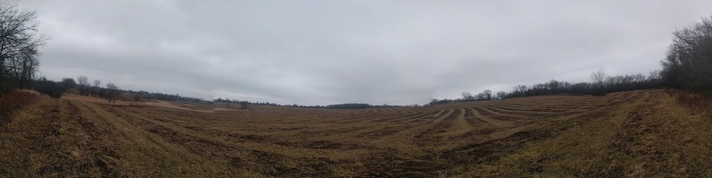 Cambr Tan TrailHiking · ~44 min drivePhoto: gabeclassonarchive2, CC BY 2.0 (via Flickr)
- Cambr Orange TrailHiking · ~45 min drivePhoto: gabeclassonarchive2, CC BY 2.0 (via Flickr)
 East Loop TrailHiking · ~48 min drivePhoto: Joe K Gage, CC BY-SA 2.0 (via Flickr)
Best time to visit Sugar Maple Loop
Best months: April–October. Best months have typical highs of 55–85 °F, lows of 30 °F or warmer (32 °F where the station doesn't record snow), at most one snowy day and no more than 12 wet days.
Jan
29° / 13°
7 wet
Feb
33° / 16°
6 wet
Mar
45° / 26°
8 wet
Apr
59° / 36°
10 wet
May
70° / 47°
12 wet
Jun
80° / 57°
10 wet
Jul
84° / 62°
9 wet
Aug
82° / 60°
9 wet
Sep
75° / 52°
7 wet
Oct
62° / 40°
8 wet
Nov
47° / 29°
8 wet
Dec
35° / 19°
8 wet
Typical high / low (°F) and days with rain or snow, 1991–2020. Measured at Marengo, IL, 3.4 mi away at 815 ft. This station doesn't record snowfall. Source: NOAA NCEI U.S. Climate Normals 1991–2020.
Map and trail data © OpenStreetMap contributors
