East Loop Trail
 Photo: Joe K Gage, CC BY-SA 2.0 (via Flickr)
- 0.7 mi
- loop
- 11 ft
- climb
- 732 ft
- high point
- Loop
- route
- Apr, Jun–Oct
- best months
East Loop Trail is a short, easy loop in Fabyan Forest Preserve in Illinois, a regional agency-managed preserve. The trail is 0.74 miles long and sits at a low point of about 703 feet, with a high of 732 feet. The climb is flat, with a total gain of 11 feet and a loss of 55 feet, and the steepest stretch comes at about 0.67 miles with a 5% grade. The trail is not wheelchair accessible. For a quick outing, plan on about half an hour. Spring and fall are the most comfortable times to go. Typical averages from a nearby weather station in West Chicago show May highs around 71°F and October highs around 62°F, while July averages about 84°F. Nearby, North Loop Trail is about 6.4 miles away and Red Maple Allée about 7.6 miles. Blackberry Creek, a canoeing spot, is about 8.7 miles off, and the Danada-Herrick Lake Regional Trail, used for cross-country skiing, is about 8.8 miles away.
Best time to go · Apr, Jun–Oct
Best time to visit East Loop Trail
Best months: April and June–October. Best months have typical highs of 55–85 °F, lows of 30 °F or warmer (32 °F where the station doesn't record snow), at most one snowy day and no more than 12 wet days.
Jan
31° / 16°
8 wet
Feb
35° / 19°
7 wet
Mar
47° / 28°
9 wet
Apr
60° / 38°
12 wet
May
71° / 49°
13 wet
Jun
81° / 59°
11 wet
Jul
84° / 63°
10 wet
Aug
82° / 62°
11 wet
Sep
76° / 54°
10 wet
Oct
62° / 42°
10 wet
Nov
48° / 31°
9 wet
Dec
35° / 21°
9 wet
Typical high / low (°F) and days with rain or snow, 1991–2020. Measured at West Chicago Dupage Ap, IL, 4.1 mi away at 754 ft. This station doesn't record snowfall. Source: NOAA NCEI U.S. Climate Normals 1991–2020.
Keep exploring — more trails worth the drive
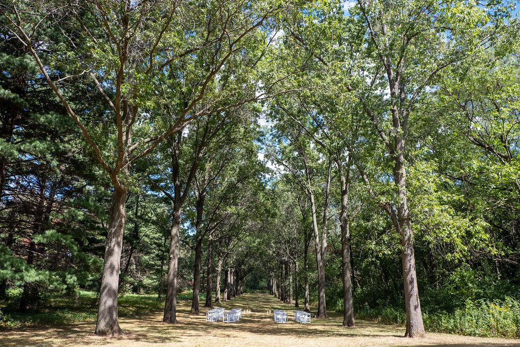 Photo: Joe K Gage, CC BY-SA 2.0 (via Flickr)
Red Maple Allée
~13 min drive
Red Maple Allée is a 0.48-mile point-to-point trail in Illinois.
 Photo: Fuzzy Gerdes, CC BY 2.0 (via Flickr)
Cambr Brown Trail
~28 min drive
4.63-mile out-and-back trail in Illinois with 489 ft elevation gain.
 Photo: w_lemay, CC BY-SA 2.0 (via Flickr)
Springbrook Prarie Trail
~19 min drive
1.09-mile out-and-back trail in Illinois with 52 ft of elevation gain.
 Photo: Joe K Gage, CC BY-SA 2.0 (via Flickr)
Main Trail
~34 min drive
9.49-mile loop trail in Illinois with 675 ft elevation gain.
 Photo: john gosk, Public Domain Mark (via Flickr)
Schweitzer Woods Forest Preserve Hiking Path
~28 min drive
1.47-mile loop trail in Schweitzer Woods Forest Preserve, Illinois.
 Photo: davidwilson1949, CC BY 2.0 (via Flickr)
Orange Unpaved Loop
~40 min drive
4-mile unpaved point-to-point trail through Illinois countryside.
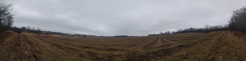 Photo: gabeclassonarchive2, CC BY 2.0 (via Flickr)
Cambr Tan Trail
~29 min drive
Cambr Tan Trail is a 2.18-mile loop in Illinois.
HIKE
Yellow Paved Trail
~34 min drive
9.27-mile point-to-point trail in Illinois with 558 ft elevation gain.
Photo: gabeclassonarchive2, CC BY 2.0 (via Flickr)Cambr Orange Trail
~30 min drive
3.58-mile loop trail in Illinois with 394 ft gain.
HIKE
Red Paved Trail
~39 min drive
Red Paved Trail is a 5.54-mile point-to-point trail in Illinois with 104 feet of elevation gain.
Map and trail data © OpenStreetMap contributors
