Cambr Tan Trail
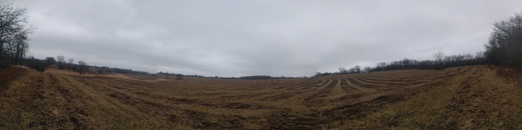 Photo: gabeclassonarchive2, CC BY 2.0 (via Flickr)
- 2.2 mi
- loop
- 21 ft
- climb
- 840 ft
- high point
- Loop
- route
- Apr, Jun–Oct
- best months
Cambr Tan Trail is a short loop in the Paul Douglas Preserve in northern Illinois, on Regional Agency Land. The trail is about 2.2 miles long and rises only 21 feet, so it's an easy hike that stays close to the same elevation throughout. The highest point is 840 feet, and the lowest is 813 feet, with the steepest stretch of about 5% grade coming around the 1.3-mile mark. Late spring and early fall are the most comfortable times to go. Typical averages from a nearby weather station in Barrington show May highs near 69°F and September highs near 72°F. July is the warmest month, with highs around 81°F. Winter is cold, with January highs near 29°F. Several other trails lie close by. Cambr Brown Trail is 0.7 miles away and Cambr Orange Trail is 0.9 miles away, and Cambr Yellow Trail is about a mile off. Salt Creek, a canoeing route, is about 4.6 miles away.
Best time to go · Apr, Jun–Oct
Best time to visit Cambr Tan Trail
Best months: April and June–October. Best months have typical highs of 55–85 °F, lows of 30 °F or warmer (32 °F where the station doesn't record snow), at most one snowy day and no more than 12 wet days.
Jan
29° / 13°
10 wet
Feb
33° / 16°
9 wet
Mar
44° / 26°
10 wet
Apr
57° / 37°
12 wet
May
69° / 48°
14 wet
Jun
78° / 58°
12 wet
Jul
81° / 63°
10 wet
Aug
79° / 61°
11 wet
Sep
72° / 54°
10 wet
Oct
60° / 41°
11 wet
Nov
46° / 30°
11 wet
Dec
34° / 20°
11 wet
Typical high / low (°F) and days with rain or snow, 1991–2020. Measured at Barrington 3sw, IL, 3.4 mi away at 875 ft. This station doesn't record snowfall. Source: NOAA NCEI U.S. Climate Normals 1991–2020.
Keep exploring — more trails worth the drive
 Photo: Fuzzy Gerdes, CC BY 2.0 (via Flickr)
Cambr Brown Trail
~1 min drive
4.63-mile out-and-back trail in Illinois with 489 ft elevation gain.
Photo: gabeclassonarchive2, CC BY 2.0 (via Flickr)Cambr Orange Trail
~1 min drive
3.58-mile loop trail in Illinois with 394 ft gain.
HIKE
Moraine View Trail
~27 min drive
1.66-mile loop trail in Illinois with 264 ft gain.
 Photo: john gosk, Public Domain Mark (via Flickr)
Schweitzer Woods Forest Preserve Hiking Path
~18 min drive
1.47-mile loop trail in Schweitzer Woods Forest Preserve, Illinois.
 Photo: CheepShot, CC BY 2.0 (via Flickr)
Brown Trail
~18 min drive
Brown Trail is a 0.45-mile point-to-point trail in Illinois with 63 ft of elevation gain.
Photo: CheepShot, CC BY 2.0 (via Flickr)Red Trail
~18 min drive
Quick 0.60-mile point-to-point trail in Illinois.
Photo: CheepShot, CC BY 2.0 (via Flickr)Yellow Trail
~19 min drive
Yellow Trail is a 0.43-mile point-to-point trail in Illinois.
 Photo: Joe K Gage, CC BY-SA 2.0 (via Flickr)
East Loop Trail
~29 min drive
0.74-mile loop trail in Illinois with 55 ft of elevation gain.
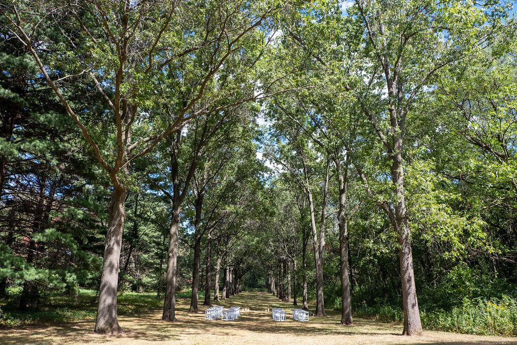 Photo: Joe K Gage, CC BY-SA 2.0 (via Flickr)
Red Maple Allée
~30 min drive
Red Maple Allée is a 0.48-mile point-to-point trail in Illinois.
 Photo: ingawh, CC BY-SA 3.0 (via Wikimedia Commons)
Night Heron Trail
~34 min drive
2.04-mile loop trail in Illinois with 271 ft of elevation gain.
Map and trail data © OpenStreetMap contributors
