Blue Trail
- 1.7 mi
- loop
- 42 ft
- climb
- 907 ft
- high point
- Loop
- route
- Apr, Jun–Oct
- best months
Blue Trail is a 1.7-mile loop in the Dixie Fromm Briggs Prairie Nature Preserve in Illinois, on city-managed land. The route is rated easy, with a total elevation gain of 42 feet and a total loss of 85 feet, and it sits about 850 to 900 feet above sea level. The trail is flat for most of the way, with the steepest stretch at about 0.74 miles, where the grade reaches 3 percent. Bikes are allowed, but horses are not. The trip takes about half an hour, so it works well as a short outing or a warm-up before exploring more of the preserve. Late spring and early fall are the most comfortable times to go. Typical averages from a nearby weather station in Elgin show May highs around 70°F and September highs around 76°F, with July peaking near 84°F. The Red Trail and Brown Trail both start about 0.1 mile away, and the Orange Trail is about half a mile off. For a change of pace in winter, Snuffy's Trail, a cross-country ski route, lies about 2.3 miles away.
Best time to go · Apr, Jun–Oct
Best time to visit Blue Trail
Best months: April and June–October. Best months have typical highs of 55–85 °F, lows of 30 °F or warmer (32 °F where the station doesn't record snow), at most one snowy day and no more than 12 wet days.
Jan
30° / 14°
10 wet
Feb
34° / 17°
8 wet
Mar
46° / 26°
10 wet
Apr
59° / 37°
12 wet
May
70° / 48°
13 wet
Jun
80° / 58°
11 wet
Jul
84° / 63°
10 wet
Aug
82° / 61°
10 wet
Sep
76° / 53°
9 wet
Oct
63° / 41°
10 wet
Nov
48° / 30°
10 wet
Dec
35° / 20°
10 wet
Typical high / low (°F) and days with rain or snow, 1991–2020. Measured at Elgin, IL, 6 mi away at 763 ft. This station doesn't record snowfall. Source: NOAA NCEI U.S. Climate Normals 1991–2020.
Keep exploring — more trails worth the drive
 Photo: CheepShot, CC BY 2.0 (via Flickr)
Brown Trail
Next door
Brown Trail is a 0.45-mile point-to-point trail in Illinois with 63 ft of elevation gain.
 Photo: Fuzzy Gerdes, CC BY 2.0 (via Flickr)
Cambr Brown Trail
~19 min drive
4.63-mile out-and-back trail in Illinois with 489 ft elevation gain.
Photo: CheepShot, CC BY 2.0 (via Flickr)Yellow Trail
~1 min drive
Yellow Trail is a 0.43-mile point-to-point trail in Illinois.
HIKE
Moraine View Trail
~13 min drive
1.66-mile loop trail in Illinois with 264 ft gain.
 Photo: john gosk, Public Domain Mark (via Flickr)
Schweitzer Woods Forest Preserve Hiking Path
~5 min drive
1.47-mile loop trail in Schweitzer Woods Forest Preserve, Illinois.
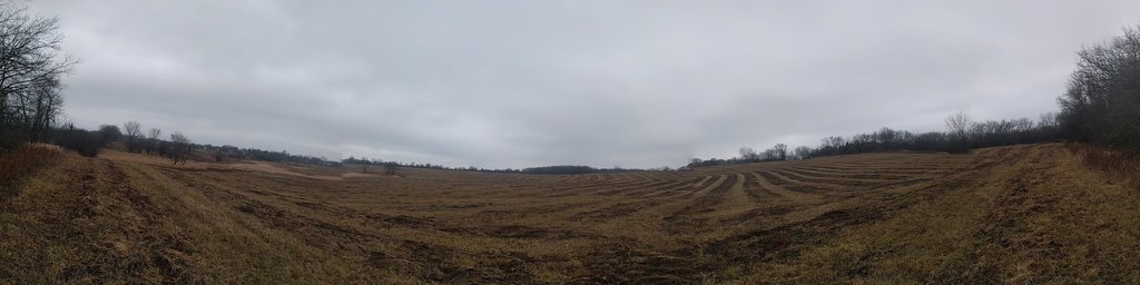 Photo: gabeclassonarchive2, CC BY 2.0 (via Flickr)
Cambr Tan Trail
~18 min drive
Cambr Tan Trail is a 2.18-mile loop in Illinois.
Photo: gabeclassonarchive2, CC BY 2.0 (via Flickr)Cambr Orange Trail
~20 min drive
3.58-mile loop trail in Illinois with 394 ft gain.
 Photo: Joe K Gage, CC BY-SA 2.0 (via Flickr)
East Loop Trail
~33 min drive
0.74-mile loop trail in Illinois with 55 ft of elevation gain.
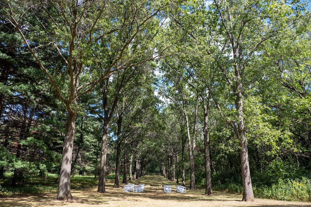 Photo: Joe K Gage, CC BY-SA 2.0 (via Flickr)
Red Maple Allée
~39 min drive
Red Maple Allée is a 0.48-mile point-to-point trail in Illinois.
 Photo: w_lemay, CC BY-SA 2.0 (via Flickr)
Springbrook Prarie Trail
~49 min drive
1.09-mile out-and-back trail in Illinois with 52 ft of elevation gain.
Map and trail data © OpenStreetMap contributors
