Springbrook Prarie Trail
 Photo: w_lemay, CC BY-SA 2.0 (via Flickr)
- 1.1 mi
- round trip
- 59 ft
- climb
- 699 ft
- high point
- Out and back
- route
- Apr–Oct
- best months
Springbrook Prairie Trail is a short, easy hike on Regional Agency Land within Springbrook Prairie in Illinois, about 1.1 miles long. The route is an out-and-back that runs roughly 2.2 miles round trip, with a total climb of about 59 feet and a steepest grade of about 2% near the 0.7-mile mark. The trail is flat overall, and the start and finish sit at about 691 feet, with the high point at 699 feet. Late spring and early fall are the most comfortable times to go. Typical averages from a nearby weather station in Lisle show May highs around 71°F and September highs around 76°F, while July averages about 84°F and January highs hover near freezing. Riverwalk is about 1.8 miles away. For winter outings, the Bluebird Trail and Green Heron Trail cross-country ski routes lie about 5.3 to 5.4 miles off, and the Danada-Herrick Lake Regional Trail is about 5.8 miles away.
Best time to go · Apr–Oct
Best time to visit Springbrook Prarie Trail
Best months: April–October. Best months have typical highs of 55–85 °F, lows of 30 °F or warmer (32 °F where the station doesn't record snow), at most one snowy day and no more than 12 wet days.
Jan
32° / 15°
Feb
35° / 18°
Mar
47° / 26°
Apr
59° / 36°
May
71° / 47°
Jun
81° / 58°
Jul
84° / 62°
Aug
83° / 60°
Sep
76° / 52°
Oct
63° / 40°
Nov
48° / 30°
Dec
37° / 21°
Typical high / low (°F) and days with rain or snow, 1991–2020. Measured at Lisle-Morton Arboretum, IL, 6.8 mi away at 680 ft. This station doesn't record snowfall. Source: NOAA NCEI U.S. Climate Normals 1991–2020.
Keep exploring — more trails worth the drive
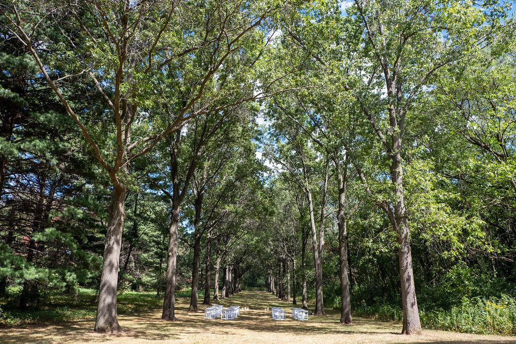 Photo: Joe K Gage, CC BY-SA 2.0 (via Flickr)
Red Maple Allée
~10 min drive
Red Maple Allée is a 0.48-mile point-to-point trail in Illinois.
 Photo: Joe K Gage, CC BY-SA 2.0 (via Flickr)
Main Trail
~17 min drive
9.49-mile loop trail in Illinois with 675 ft elevation gain.
Photo: Joe K Gage, CC BY-SA 2.0 (via Flickr)Tear-Thumb Trail
~17 min drive
1.16-mile point-to-point trail in Illinois with 120 ft elevation gain
 Photo: davidwilson1949, CC BY 2.0 (via Flickr)
Orange Unpaved Loop
~23 min drive
4-mile unpaved point-to-point trail through Illinois countryside.
 Photo: Joe K Gage, CC BY-SA 2.0 (via Flickr)
East Loop Trail
~19 min drive
0.74-mile loop trail in Illinois with 55 ft of elevation gain.
HIKE
Yellow Paved Trail
~15 min drive
9.27-mile point-to-point trail in Illinois with 558 ft elevation gain.
Photo: davidwilson1949, CC BY 2.0 (via Flickr)Red South Single Track
~22 min drive
Compact point-to-point single track through Illinois woodland.
HIKE
Red Paved Trail
~23 min drive
Red Paved Trail is a 5.54-mile point-to-point trail in Illinois with 104 feet of elevation gain.
Photo: davidwilson1949, CC BY 2.0 (via Flickr)Yellow West Single Track
~22 min drive
3.05-mile point-to-point trail in Illinois with 477 ft elevation gain
HIKE
Yellow East Trail
~26 min drive
A 5.95-mile point-to-point trail in Illinois with moderate distance.
Map and trail data © OpenStreetMap contributors
