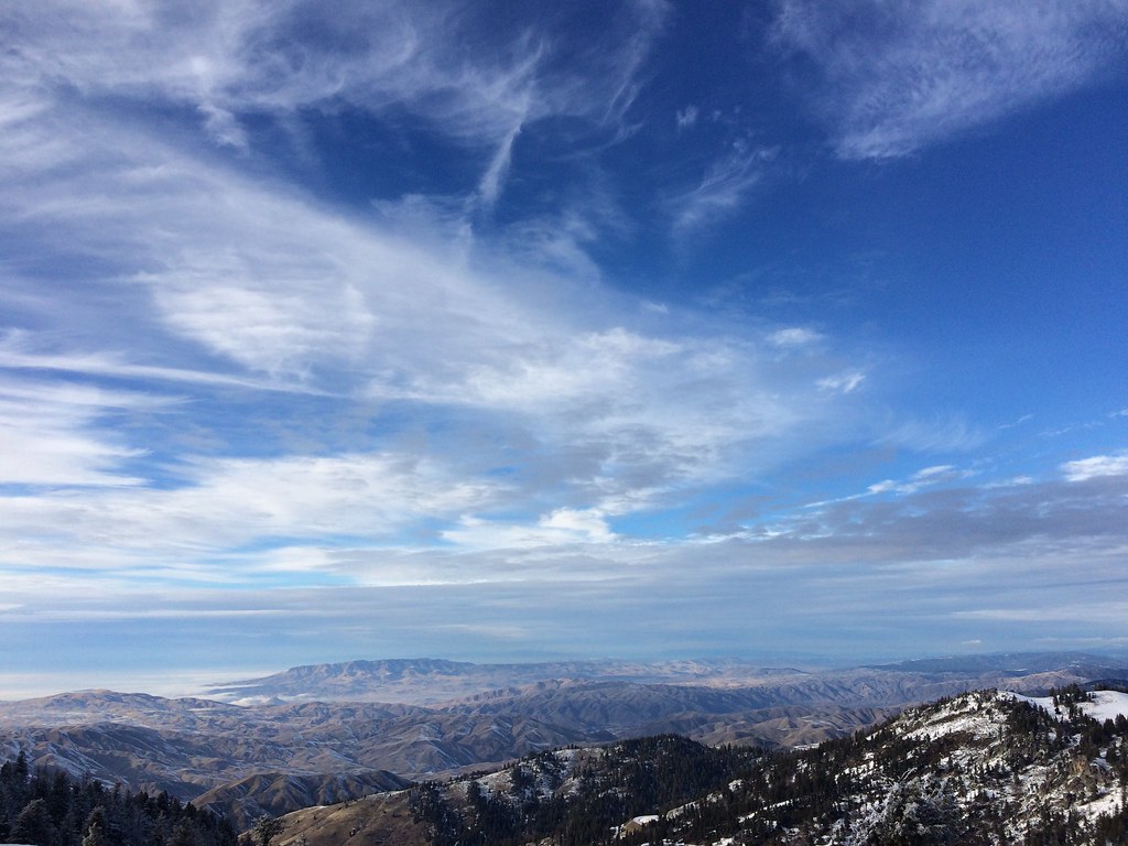
Shafer Butte
Campground
Campground · 0.8 mi from the trail
Closure in the area
There's a closure order in Boise National Forest. It doesn't name National Forest Development Road 374, so check the source for the area it covers.
UPDATED Sept. 19 - Crooked Fire Area, Road, and Trail Closure
Agency closure covering Boise National Forest · Order 0402-03-140 · USFS · Boise National Forest
Lava Fire Road Closure
Agency alert covering Boise National Forest · Order 0402-06-84 · USFS · Boise National Forest
As of · Source: USFS · Boise National Forest. Agencies don't list every closure — check before you go.
National Forest Development Road 374 is a short, out-and-back mountain biking route in Idaho's Boise National Forest, within the Mountain Home Ranger District. The Forest Service manages the land, and the route is about 1.2 miles long, with a total elevation gain of 561 feet. The climb is steep in places, with the steepest stretch at about 0.22 miles into the ride, where the grade reaches 21 percent. The route starts at an elevation of about 7,442 feet and reaches a high point of 7,471 feet. That makes it a compact ride with a noticeable climb, and the round trip brings you back to nearly the same starting point. Dogs are allowed, so riders can bring a pet along. The route sits close to several other destinations. The #95 Tempest mountain biking trail and the Packing hike are each about 0.1 miles away, and the Lodge Cat Track is about 0.2 miles off. Shafer Butte campground and the Bogus Boulders climbing area are both about 0.8 miles away.
Shafer Butte
Campground
Pioneer Lodge
Restaurant
 If it rainsCamEQ, Facade of Art Museum designed by Trout Architects and Mark Mack in 1988, Public domain · Wikimedia Commons
Places © OpenStreetMap contributors · Photos: CamEQ, Facade of Art Museum designed by Trout Architects and Mark Mack in 1988, Public domain (commons)
More in Idaho CityNot on Roamze yet. Their page has how to reach them.
 Photo: Josh Lehman joshlehman, CC0 (via Wikimedia Commons)
Cabin Traverse
Next door
0.76-mile traverse at Bogus Basin with 538 ft elevation gain
RIDE
#95 Tempest
Next door
0.8 mi · Hard
RIDE
Lodge Cat Track
Next door
0.64-mile easy singletrack in Idaho with 465 ft elevation gain.
RIDE
Brewers Cut-Off
Next door
0.19-mile out-and-back trail in Idaho with 237 ft elevation gain on mixed surface
 Photo: Matt Lavin, CC BY-SA 2.0 (via Wikimedia Commons)
#93 The Face
Next door
#93 The Face is a 1.17-mile trail at Shafer Butte with 835 ft of elevation gain.
RIDE
Lodge Cat Track
Next door
Hard singletrack out-and-back in Idaho, rated Black Diamond.
RIDE
Shafer Butte Road
Next door
0.15-mile easy singletrack out-and-back with 33 ft elevation gain in Idaho.
RIDE
Loam Star Runner
Next door
0.28-mile out-and-back singletrack in Idaho with 85 ft of elevation gain
Photo: Matt Lavin, CC BY-SA 2.0 (via Wikimedia Commons)#96 Brewers Byway Ext
Next door
0.61-mile trail at Shafer Butte, Idaho with 536 ft elevation gain
RIDE
Rabid Badger
Next door
0.69-mile out-and-back singletrack in Idaho rated Black Diamond / Difficult, 79 ft gain
Map and trail data © OpenStreetMap contributors