Trinity Mountain
 Photo: U.S. Forest Service, Public domain (via Wikimedia Commons)
- 9,446 ft
- summit
- Forest Service
- managed by
Is Trinity Mountain open right now?
Closure in the area
There's a closure order in Boise National Forest. It doesn't name Trinity Mountain, so check the source for the area it covers.
UPDATED Sept. 19 - Crooked Fire Area, Road, and Trail Closure
Agency closure covering Boise National Forest · Order 0402-03-140 · USFS · Boise National Forest
Lava Fire Road Closure
Agency alert covering Boise National Forest · Order 0402-06-84 · USFS · Boise National Forest
As of · Source: USFS · Boise National Forest. Agencies don't list every closure — check before you go.
Trinity Mountain is a summit of about 9,446 feet in Elmore County, Idaho, within the Mountain Home Ranger District of the Boise National Forest. The nearest town is Paradise Hot Springs, about 8.4 miles away, and the Forest Service manages the surrounding land. Heart Lake and Big Rainbow Lake are both hikes about 0.7 miles from the summit. Big Roaring River Lake Campground lies about 1.7 miles away, and Big Trinity Cabin is about 2.1 miles away, which makes either a practical base for an overnight trip.
Conditions and forecast
Daily highs and lows, wind and the chance of precipitation at the summit for the next 7 days, from the Open-Meteo model.
- Summit elevation
- 9,446 ft
- Land manager
- Forest Service
Elevation from USGS 3D Elevation Program terrain data (about 10 m resolution).
We don't know of a mapped trail or route to the summit of Trinity Mountain. Plan the approach with local maps, a guidebook or a local guide, and check conditions before you go.
Questions about Trinity Mountain
How tall is Trinity Mountain?
9,446 ft (2,879 m).
Is there a trail to the top of Trinity Mountain?
We don't know of a mapped trail or route to the summit. Plan the approach with local maps, a guidebook or a local guide.
- Granite Mountain7,087 ft · Idaho2 routes19 mi away
 Iron Mountain9,691 ft · Idaho1 route20 mi awayPhoto: Fredlyfish4, CC BY-SA 3.0 (via Wikimedia Commons)
- Swanholm Peak8,727 ft · Idaho1 route21 mi away
- Sunset Mountain7,869 ft · Idaho2 routes23 mi away
- Cervidae Peak4,984 ft · Idaho1 route27 mi away
- Wilson Peak7,837 ft · Idaho1 route30 mi away
- Heart LakeHiking0.7 mi
- Big Rainbow LakeHiking0.7 mi
- Old Pack TrailHiking0.7 mi
- Big Roaring River Lake CampgroundCamping1.7 mi
 Big Trinity CabinCampingPhoto: Recreation.gov (RIDB) / public domain2.1 mi
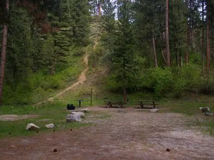 Dog Creek (id)CampingPhoto: Recreation.gov (RIDB) / public domain7.9 mi
- Sheep CreekCanoeing9.4 mi
- Feather RiverCanoeing9.5 mi
Source: Roamze catalog (indexable pages within 10 miles, PostGIS distance)
 Snowyside PeakSummit · ~56 min drivePhoto: Fredlyfish4, CC BY-SA 3.0 (via Wikimedia Commons)
 Payette PeakSummit · ~1h drivePhoto: Fredlyfish4, CC BY-SA 3.0 (via Wikimedia Commons)
- Elk PeakSummit · ~1h 1m drivePhoto: Fredlyfish4, CC BY-SA 3.0 (via Wikimedia Commons)
 Big PeakSummit · ~1h 1m drivePhoto: Fredlyfish4, CC BY-SA 3.0 (via Wikimedia Commons)
 McDonald PeakSummit · ~1h 1m drivePhoto: Fredlyfish4, CC BY-SA 3.0 (via Wikimedia Commons)
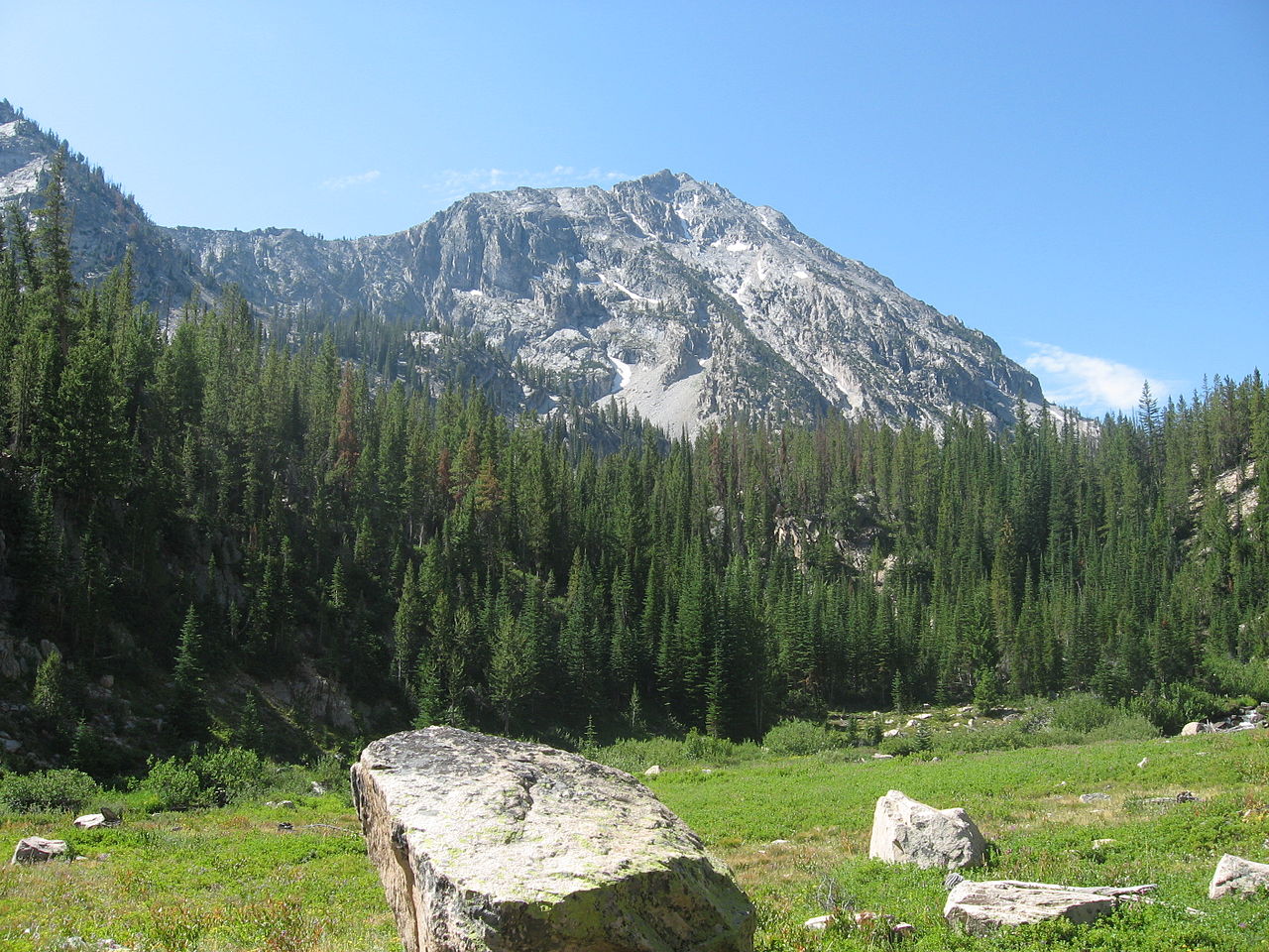 Parks PeakSummit · ~1h 1m drivePhoto: Fredlyfish4, CC BY-SA 3.0 (via Wikimedia Commons)
 Table RockSummit · ~1h 1m drivePhoto: Tamanoeconomico, CC BY-SA 4.0 (via Wikimedia Commons)
 Decker PeakSummit · ~1h 6m drivePhoto: Fredlyfish4, CC BY-SA 4.0 (via Wikimedia Commons)
 Baron PeakSummit · ~1h 10m drivePhoto: Fredlyfish4, CC BY-SA 3.0 (via Wikimedia Commons)
 Mount ReganSummit · ~1h 13m drivePhoto: Fredlyfish4, CC BY-SA 4.0 (via Wikimedia Commons)
