Magee Peak
- 4,856 ft
- summit
- 1
- way up
Is Magee Peak open right now?
Closure in the area
There's a closure order in Idaho Panhandle National Forests. It doesn't name Magee Peak, so check the source for the area it covers (4 listed).
Emergency Road Closure Lightning Creek / Forest Road 419
Agency closure covering Idaho Panhandle National Forests · Order 0104-06-26-002 · USFS · Idaho Panhandle National Forests
West Fork Eagle Creek/Forest Road 805
Agency closure covering Coeur d'Alene River Ranger District · Order 01-04-03-26-002 · USFS · Coeur d'Alene River Ranger District
Abandoned Mines Area Closure
Agency closure covering Idaho Panhandle National Forests · Order 1-04-00-25-001 · USFS · Idaho Panhandle National Forests
Idaho Panhandle Seasonal Food Storage Order
Agency closure covering Idaho Panhandle National Forests · Order 01-04-00-24-001 · USFS · Idaho Panhandle National Forests
Forest Service Roads 265, 422 and 911 Closure
Agency alert covering Coeur d'Alene River Ranger District · Order 01-04-03-26-018 · USFS · Coeur d'Alene River Ranger District
As of · Source: USFS · Idaho Panhandle National Forests. Agencies don't list every closure — check before you go.
Magee Peak is a summit in Idaho's Coeur d'Alene River Ranger District, part of the Idaho Panhandle National Forests. The closest town is Steamboat Rocks, about 8 miles away, which makes it a practical reference point for planning a trip into this corner of the forest. The most direct option nearby is the Magee Pk-Bear Creek hike, less than half a mile from the summit. Independence Creek, about 1.3 miles away, offers canoeing. Magee Rangers Cabin, roughly 3.3 miles off, is a campground, and the Emerson Ridge hike lies about 3.4 miles out.
Conditions and forecast
Daily highs and lows, wind and the chance of precipitation at the summit and route start for the next 7 days, from the Open-Meteo model.
- Summit elevation
- 4,856 ft
Elevation from USGS 3D Elevation Program terrain data (about 10 m resolution).
Map © Mapbox © OpenStreetMap contributors Questions about Magee Peak
How tall is Magee Peak?
4,856 ft (1,480 m).
How many routes go to the summit of Magee Peak?
One: Magee Pk-Bear Creek.
Where do the routes up Magee Peak start?
Magee Pk-Bear Creek starts at "TRAIL 325, MM 12.1" (about 4,353 ft).
When is the best time to climb Magee Peak?
Year-round.
- Magee Pk-Bear CreekHiking0.4 mi
- Independence CreekCanoeing1.3 mi
- North IdahoRock climbing2.7 mi
- Magee Rangers CabinCamping3.3 mi
- EMERSON RIDGEHiking3.4 mi
- Big Foot RidgeHiking3.4 mi
- Tepee CreekCanoeing4.6 mi
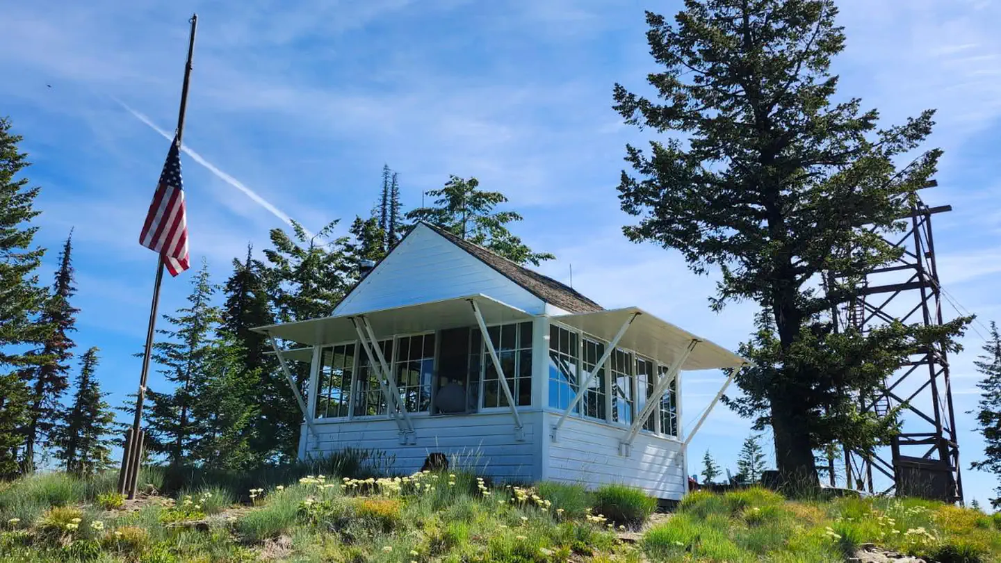 Spyglass Ground HouseRiver fishing5.4 mi
Source: Roamze catalog (indexable pages within 10 miles, PostGIS distance)
 Scotchman PeakSummit · ~40 min drivePhoto: U.S. Army Corps of Engineers, photographer not specified or unknown, Public domain (via Wikimedia Commons)
 Tubbs HillSummit · ~46 min drivePhoto: Mkennedystudios, CC BY-SA 4.0 (via Wikimedia Commons)
 Saint Paul PeakSummit · ~54 min drivePhoto: Jared Shear, CC BY 2.0 (via Wikimedia Commons)
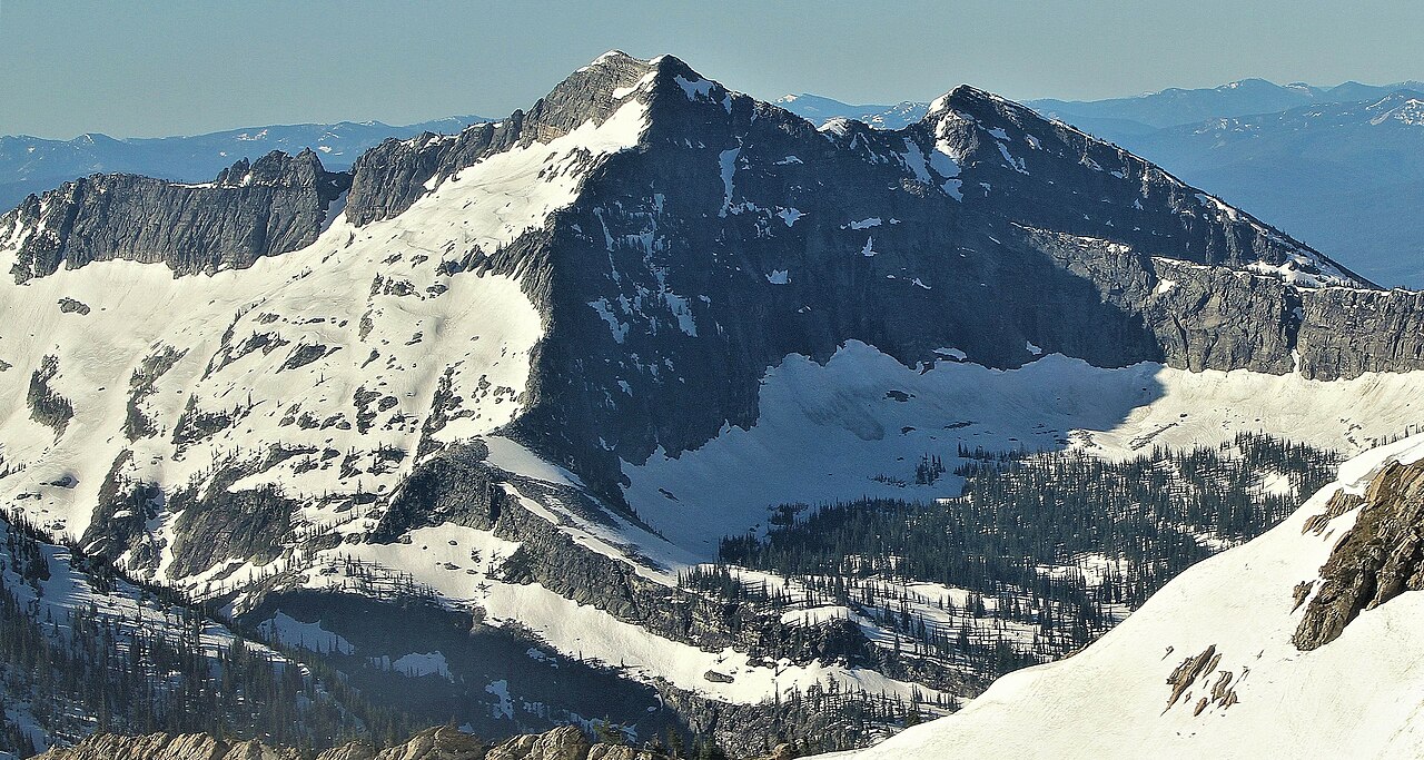 Rock PeakSummit · ~55 min drivePhoto: Jared Shear, CC BY 2.0 (via Wikimedia Commons)
- Lamb PeakSummit · ~7 min drive
- Boundary PeakSummit · ~8 min drive
- Packsaddle MountainSummit · ~18 min drive
- Chilco MountainSummit · ~19 min drive
- Pond PeakSummit · ~20 min drive
- Sentinel PeakSummit · ~21 min drive
