Rd 412 Site 15
Campground
Campground · 2.5 mi from the trail
Closure in the area
There's a closure order in Idaho Panhandle National Forests. It doesn't name Pond Peak, so check the source for the area it covers (4 listed).
Emergency Road Closure Lightning Creek / Forest Road 419
Agency closure covering Idaho Panhandle National Forests · Order 0104-06-26-002 · USFS · Idaho Panhandle National Forests
West Fork Eagle Creek/Forest Road 805
Agency closure covering Coeur d'Alene River Ranger District · Order 01-04-03-26-002 · USFS · Coeur d'Alene River Ranger District
Abandoned Mines Area Closure
Agency closure covering Idaho Panhandle National Forests · Order 1-04-00-25-001 · USFS · Idaho Panhandle National Forests
Idaho Panhandle Seasonal Food Storage Order
Agency closure covering Idaho Panhandle National Forests · Order 01-04-00-24-001 · USFS · Idaho Panhandle National Forests
Forest Service Roads 265, 422 and 911 Closure
Agency alert covering Coeur d'Alene River Ranger District · Order 01-04-03-26-018 · USFS · Coeur d'Alene River Ranger District
As of · Source: USFS · Idaho Panhandle National Forests. Agencies don't list every closure — check before you go.
Pond Peak is a summit in northern Idaho's Coeur d'Alene River Ranger District, part of the Idaho Panhandle National Forests. The nearest town is Heron, Montana, about 15 miles away across the state line, so the peak sits in the forest's northeastern reaches close to the Montana border. Big Hank campground lies about 3 miles away, and the Shoshone Ridge hike is a similar distance. Little Guard Lookout campground is close to 4 miles out, and the Cataract Creek hike is about 5 miles away.
Rd 412 Site 15
Campground
Prichard Tavern
Bar
Staff House Museum
Museum
Places © OpenStreetMap contributors
More in KelloggDaily highs and lows, wind and the chance of precipitation at the summit and route start for the next 7 days, from the Open-Meteo model.
Elevation from USGS 3D Elevation Program terrain data (about 10 m resolution).
6,140 ft (1,871 m).
One: Shoshone Ridge.
July 1 – September 30.
 Big HankCampingPhoto: Recreation.gov (RIDB) / public domain2.8 mi
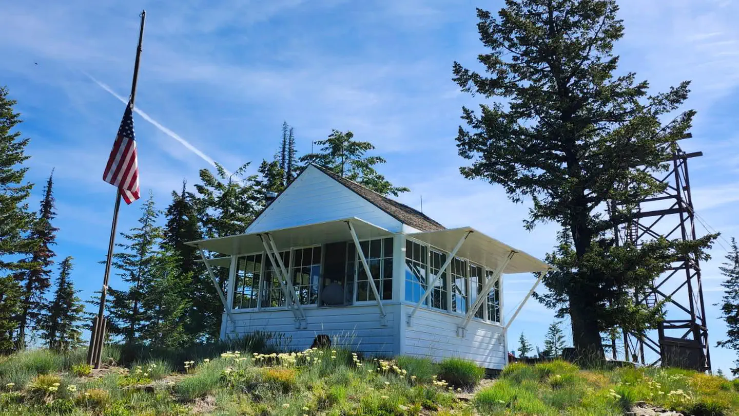 Spyglass Ground HouseRiver fishing6.8 mi
Source: Roamze catalog (indexable pages within 10 miles, PostGIS distance)
 Scotchman PeakSummit · ~40 min drivePhoto: U.S. Army Corps of Engineers, photographer not specified or unknown, Public domain (via Wikimedia Commons)
 Saint Paul PeakSummit · ~40 min drivePhoto: Jared Shear, CC BY 2.0 (via Wikimedia Commons)
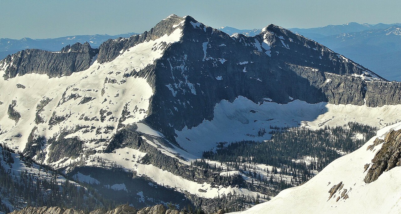 Rock PeakSummit · ~41 min drivePhoto: Jared Shear, CC BY 2.0 (via Wikimedia Commons)
Also worth it near here
