Independence Creek
- 14.3 mi
- distance
- 3,510 ft
- high point
- May–Sep
- best months
Is Independence Creek open right now?
Closure in the area
There's a closure order in Idaho Panhandle National Forests. It doesn't name Independence Creek, so check the source for the area it covers (4 listed).
Emergency Road Closure Lightning Creek / Forest Road 419
Agency closure covering Idaho Panhandle National Forests · Order 0104-06-26-002 · USFS · Idaho Panhandle National Forests
West Fork Eagle Creek/Forest Road 805
Agency closure covering Coeur d'Alene River Ranger District · Order 01-04-03-26-002 · USFS · Coeur d'Alene River Ranger District
Abandoned Mines Area Closure
Agency closure covering Idaho Panhandle National Forests · Order 1-04-00-25-001 · USFS · Idaho Panhandle National Forests
Idaho Panhandle Seasonal Food Storage Order
Agency closure covering Idaho Panhandle National Forests · Order 01-04-00-24-001 · USFS · Idaho Panhandle National Forests
Forest Service Roads 265, 422 and 911 Closure
Agency alert covering Coeur d'Alene River Ranger District · Order 01-04-03-26-018 · USFS · Coeur d'Alene River Ranger District
As of · Source: USFS · Idaho Panhandle National Forests. Agencies don't list every closure — check before you go.
Independence Creek is a paddling spot in the Coeur d'Alene River Ranger District of the Idaho Panhandle National Forests, managed by the Forest Service. The nearest town is about 14 miles away, and the creek lies within the forest's boundaries in northern Idaho. Summer is the most comfortable time to go. A nearby weather station records typical July highs around 80°F with lows near 50°F and only about five wet days in the month, while winter brings highs in the mid-30s and regular snow from December through February. Several other outdoor spots sit close by. The Magee PK-Bear Creek hike is half a mile away, and the North Idaho climbing area is about 3.6 miles off. The Tepee Creek paddling route is roughly 6 miles away, and the Spyglass Ground House fishing spot is about 6 miles out.
Local outfitters
- MiVoden19 mi away
- CDA River RV25 mi away
Not on Roamze yet. Their page has how to reach them.
- MAGEE PK-BEAR CREEKHiking0.5 mi
- EMERSON RIDGEHiking3 mi
- Ermine Ridge TrailHiking3.5 mi
- North IdahoRock climbing3.6 mi
- Magee Rangers CabinCamping4.4 mi
- Tepee CreekCanoeing5.8 mi
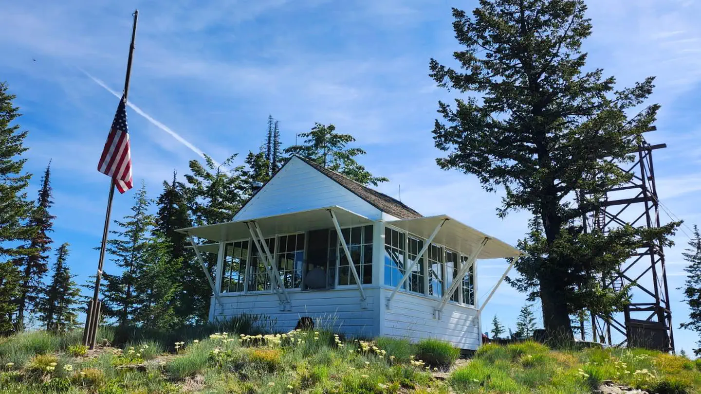 Spyglass Ground HouseRiver fishing6.1 mi
- North Fork Coeur d'Alene RiverCanoeing7.3 mi
Source: Roamze catalog (indexable pages within 10 miles, PostGIS distance)
- Tepee CreekCanoeing · ~10 min drive
- Whiskey Rock Bay Boating SiteBoat launch · ~22 min drive
- Avery Creek CabinTubing · ~39 min drive
- North Fork Coeur d'Alene RiverCanoeing · ~12 min drive
- Bayview Public Boat LaunchBoat launch · ~23 min drive
- Little North Fork Coeur d'Alene RiverCanoeing · ~19 min drive
- Sam Owen Boat DockBoat launch · ~37 min drive
- Steamboat CreekCanoeing · ~27 min drive
- Freeman's EddyBoat launch · ~39 min drive
- Elk CreekCanoeing · ~32 min drive
Best time to visit Independence Creek
Best months: May–September. Best months have typical highs of 55–85 °F, lows of 30 °F or warmer (32 °F where the station doesn't record snow), at most one snowy day and no more than 12 wet days.
Jan
35° / 23°
13 wet · 4 snow
Feb
38° / 23°
10 wet · 3 snow
Mar
45° / 28°
12 wet · 2 snow
Apr
54° / 33°
11 wet
May
64° / 39°
10 wet
Jun
70° / 45°
9 wet
Jul
80° / 50°
5 wet
Aug
79° / 49°
4 wet
Sep
69° / 42°
6 wet
Oct
54° / 33°
10 wet
Nov
42° / 27°
13 wet · 2 snow
Dec
34° / 22°
14 wet · 5 snow
Typical high / low (°F) and days with rain or snow, 1991–2020. Measured at Bayview Model Basin, ID, 13.4 mi away at 2,087 ft. The station sits about 1,400 ft lower than this place, so expect it a little cooler here. Source: NOAA NCEI U.S. Climate Normals 1991–2020.
