Mm 16.6
Campground
Campground · 0.8 mi from the trail
Closure in the area
There's a closure order in Idaho Panhandle National Forests. It doesn't name Boundary Peak, so check the source for the area it covers (4 listed).
Emergency Road Closure Lightning Creek / Forest Road 419
Agency closure covering Idaho Panhandle National Forests · Order 0104-06-26-002 · USFS · Idaho Panhandle National Forests
West Fork Eagle Creek/Forest Road 805
Agency closure covering Coeur d'Alene River Ranger District · Order 01-04-03-26-002 · USFS · Coeur d'Alene River Ranger District
Abandoned Mines Area Closure
Agency closure covering Idaho Panhandle National Forests · Order 1-04-00-25-001 · USFS · Idaho Panhandle National Forests
Idaho Panhandle Seasonal Food Storage Order
Agency closure covering Idaho Panhandle National Forests · Order 01-04-00-24-001 · USFS · Idaho Panhandle National Forests
Forest Service Roads 265, 422 and 911 Closure
Agency alert covering Coeur d'Alene River Ranger District · Order 01-04-03-26-018 · USFS · Coeur d'Alene River Ranger District
As of · Source: USFS · Idaho Panhandle National Forests. Agencies don't list every closure — check before you go.
Boundary Peak is a summit in the Coeur d'Alene River Ranger District of the Idaho Panhandle National Forests, about 20 miles from the town of Pinehurst, Idaho. Little Elk Creek is a hike about 2.5 miles away, and Big Foot Ridge is another hike about 3.7 miles away. Tepee Creek offers canoeing about 3 miles off, and Magee Rangers Cabin is a campground roughly 4 miles from the summit.
Mm 16.6
Campground
Roma's King's Inn
Pub
 If it rainsAntony-22, CC BY-SA 4.0 · Wikimedia Commons
Local history museum in Coeur d'Alene, Idaho
Places © OpenStreetMap contributors, Places © Overture Maps Foundation · Photos: Antony-22, CC BY-SA 4.0 (commons)
More in KelloggDaily highs and lows, wind and the chance of precipitation at the summit and route start for the next 7 days, from the Open-Meteo model.
Elevation from USGS 3D Elevation Program terrain data (about 10 m resolution).
4,469 ft (1,362 m).
One: Boundary Peak.
Boundary Peak starts at "TRAIL 325, MM 12.1" (about 3,035 ft).
June 1 – September 30.
Source: Roamze catalog (indexable pages within 10 miles, PostGIS distance)
 Tubbs HillSummit · ~40 min drivePhoto: Mkennedystudios, CC BY-SA 4.0 (via Wikimedia Commons)
 Saint Paul PeakSummit · ~1h drivePhoto: Jared Shear, CC BY 2.0 (via Wikimedia Commons)
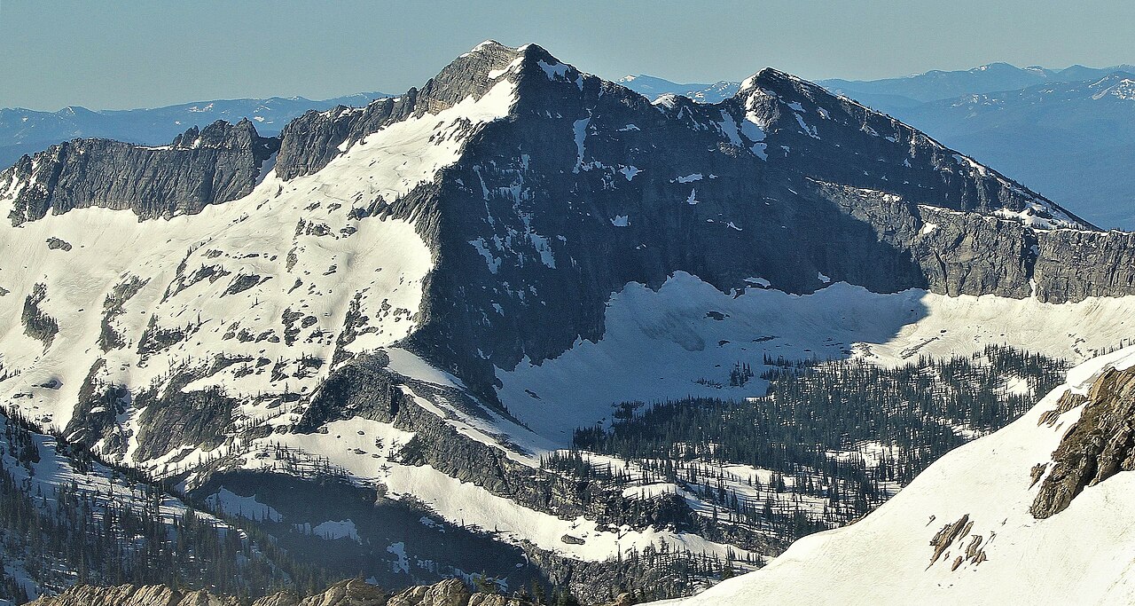 Rock PeakSummit · ~1h 1m drivePhoto: Jared Shear, CC BY 2.0 (via Wikimedia Commons)
 Scotchman PeakSummit · ~48 min drivePhoto: U.S. Army Corps of Engineers, photographer not specified or unknown, Public domain (via Wikimedia Commons)
