Upper Rainey Creek Th
Campground
Campground · 3.8 mi from the trail
No closures listed
The Forest Service lists no closures for Caribou-Targhee National Forest.
As of · Source: USFS · Caribou-Targhee National Forest. Agencies don't list every closure — check before you go.
Fogg Hill is a summit of 8,915 feet in the Palisades Ranger District of Caribou-Targhee National Forest in Idaho, about 6.4 miles from the town of Victor. The peak sits among a cluster of hikes, with Elbow Fork and Thompson Peak both about 1.3 miles away and Pole Canyon Ridge 174 about 1.5 miles off. For an overnight base, Mike Harris campground lies about 4.1 miles away.
Upper Rainey Creek Th
Campground
Flat Creek Overlook
Viewpoint
Places © OpenStreetMap contributors
More in JacksonDaily highs and lows, wind and the chance of precipitation at the summit and route start for the next 7 days, from the Open-Meteo model.
Elevation from USGS 3D Elevation Program terrain data (about 10 m resolution).
8,915 ft (2,717 m).
One: Sheep Driveway.
Sheep Driveway starts at UPPER RAINEY CREEK TH (about 7,311 ft).
Year-round.
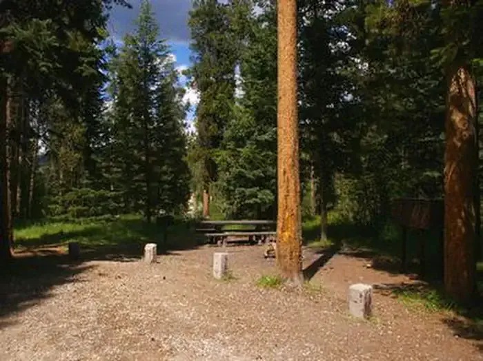 Mike HarrisCampingPhoto: Recreation.gov (RIDB) / public domain4.1 mi
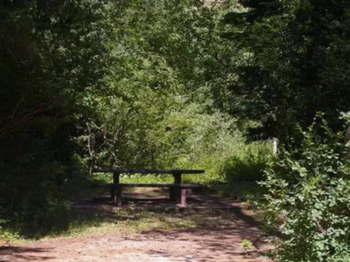 Trail CreekCampingPhoto: Recreation.gov (RIDB) / public domain4.5 mi
Source: Roamze catalog (indexable pages within 10 miles, PostGIS distance)
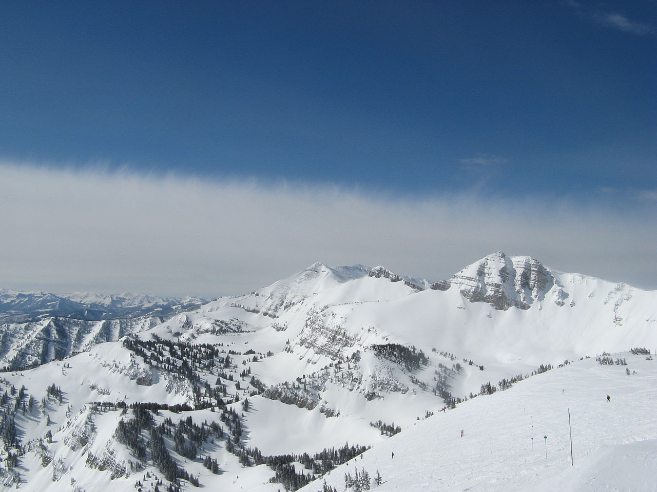 Rendezvous MountainSummit · ~20 min drivePhoto: Ams100272, Public domain (via Wikimedia Commons)
 Mount HuntSummit · ~26 min drivePhoto: Acroterion, CC BY-SA 4.0 (via Wikimedia Commons)
 Prospectors MountainSummit · ~28 min drivePhoto: Ron Clausen, CC BY-SA 4.0 (via Wikimedia Commons)
 Static PeakSummit · ~33 min drivePhoto: Acroterion, CC BY-SA 4.0 (via Wikimedia Commons)
 Battleship MountainSummit · ~33 min drivePhoto: Goretexguy, CC BY-SA 4.0 (via Wikimedia Commons)
 Buck MountainSummit · ~33 min drivePhoto: Acroterion, CC BY-SA 4.0 (via Wikimedia Commons)
 Mount WisterSummit · ~34 min drivePhoto: Acroterion, CC BY-SA 4.0 (via Wikimedia Commons)
 South TetonSummit · ~36 min drivePhoto: Acroterion, CC BY-SA 4.0 (via Wikimedia Commons)
 Table MountainSummit · ~36 min drivePhoto: Mike Weston from La Honda, CA, CC BY 2.0 (via Wikimedia Commons)
 Nez PerceSummit · ~37 min drivePhoto: Acroterion, CC BY-SA 4.0 (via Wikimedia Commons)
Also worth it near here
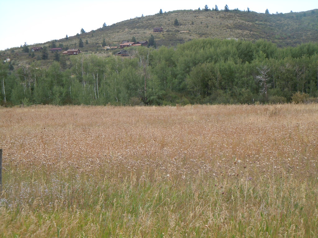 CampgroundHiking · ~7 min drivePhoto: Matt Lavin, CC BY-SA 2.0 (via Flickr)
 Taylor MountainMountain biking · ~10 min drivePhoto: Matt Berger
https://www.inaturalist.org/people/sheriff_woody_pct, CC BY 4.0 (via Wikimedia Commons)
