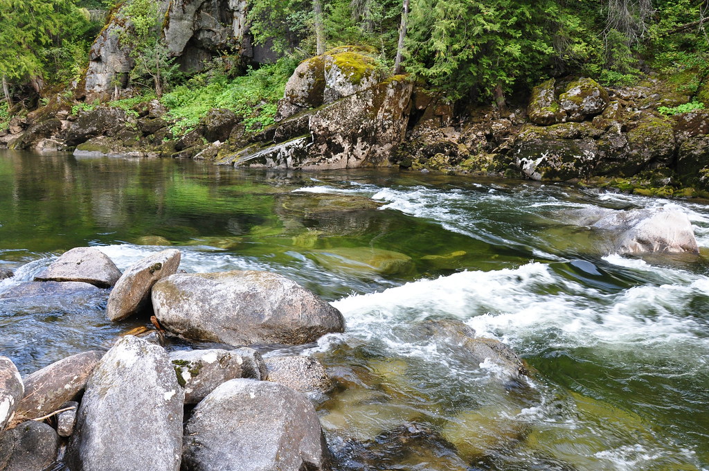
Big Fog Saddle
Campground
Campground · 1.5 mi from the trail
Closure in the area
There's a closure order in Nez Perce-Clearwater National Forest. It doesn't name Big Fog Mountain, so check the source for the area it covers.
Updated 250 Road Closure
Agency closure covering Nez Perce-Clearwater National Forest · USFS · Nez Perce-Clearwater National Forest
Selway Falls Campground Closure
Agency alert covering Moose Creek Ranger District · Order 01-17-06-26-003 · USFS · Moose Creek Ranger District
O'Hara Beach Area Closure
Agency alert covering Moose Creek Ranger District · Order 01-17-06-26-00 · USFS · Moose Creek Ranger District
Laird Park Water Unavailable For 2026 Season
Agency alert covering Nez Perce-Clearwater National Forest · USFS · Nez Perce-Clearwater National Forest
As of · Source: USFS · Nez Perce-Clearwater National Forest. Agencies don't list every closure — check before you go.
Big Fog Mountain is a summit in the Selway-Bitterroot Wilderness of north-central Idaho. It sits within the Moose Creek Ranger District of the Nez Perce-Clearwater National Forest, about 20 miles from the small town of Lowell. Because the peak lies inside designated wilderness, getting there means traveling on foot or by other non-motorized means through some of the most remote country in the state. The approach runs through a cluster of trails that converge near the mountain. The Big Fog Mountain Trail passes about 1.6 miles away and is the most direct route for anyone aiming for the top. Two other trails lie even closer: the Cupbord Creek Trail at about 1.4 miles and the Cove Lakes Trail at about 1.5 miles. These connecting routes make it possible to link the summit into a longer outing. The Gedney Trail, about 3 miles off, offers another nearby hike. Glover Creek campground lies just under 10 miles away, and Gedney Creek, about 5 miles out, provides a paddling option to round out a trip in the area.
Big Fog Saddle
Campground
Elk City Reno Club - Elk City Burger Bar
Burger restaurant
Martin Hot Springs
Hot spring
Places © OpenStreetMap contributors, Places © Overture Maps Foundation
More in Elk CityDaily highs and lows, wind and the chance of precipitation at the summit and route start for the next 7 days, from the Open-Meteo model.
Elevation from USGS 3D Elevation Program terrain data (about 10 m resolution).
| BIG FOG MOUNTAIN | Big Fog Mountain Trail | |
|---|---|---|
| Climbing | About 3,226 ft | About 3,229 ft |
| Round trip | 8.0 mi | 8.8 mi |
| Difficulty | Hard | Hard |
| Terrain | Hike | Hike |
7,126 ft (2,172 m).
2: BIG FOG MOUNTAIN and Big Fog Mountain Trail.
BIG FOG MOUNTAIN, about 8.0 mi round trip.
Source: Roamze catalog (indexable pages within 10 miles, PostGIS distance)