Race Creek
Campground
Campground · 5.0 mi from the trail
Closure in the area
There's a closure order in Nez Perce-Clearwater National Forest. It doesn't name Otter Butte, so check the source for the area it covers.
Updated 250 Road Closure
Agency closure covering Nez Perce-Clearwater National Forest · USFS · Nez Perce-Clearwater National Forest
Selway Falls Campground Closure
Agency alert covering Moose Creek Ranger District · Order 01-17-06-26-003 · USFS · Moose Creek Ranger District
O'Hara Beach Area Closure
Agency alert covering Moose Creek Ranger District · Order 01-17-06-26-00 · USFS · Moose Creek Ranger District
Laird Park Water Unavailable For 2026 Season
Agency alert covering Nez Perce-Clearwater National Forest · USFS · Nez Perce-Clearwater National Forest
As of · Source: USFS · Nez Perce-Clearwater National Forest. Agencies don't list every closure — check before you go.
Otter Butte is a summit of 6,093 feet in Idaho's Selway-Bitterroot Wilderness, within the Moose Creek Ranger District of the Nez Perce-Clearwater National Forest. The nearest town is Elk City, about 19 miles away. Summer is the most comfortable time to visit. Typical averages from a nearby weather station show July and August highs around 76°F with lows in the upper 30s, while winter highs stay near freezing. The Otter Butte Trail and Jim's Creek Trail both start within a mile of the summit. The Selway River Trail is about 3 miles away, and Glover Creek campground is roughly 9 miles off.
Race Creek
Campground
Elk City Reno Club - Elk City Burger Bar
Burger restaurant
Martin Hot Springs
Hot spring
Places © OpenStreetMap contributors, Places © Overture Maps Foundation
More in Elk CityDaily highs and lows, wind and the chance of precipitation at the summit and route start for the next 7 days, from the Open-Meteo model.
Elevation from USGS 3D Elevation Program terrain data (about 10 m resolution).
6,093 ft (1,857 m).
One: Otter Butte Trail.
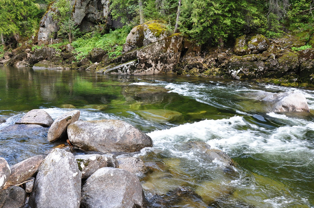 Selway River TrailHikingPhoto: araddon, CC BY 2.0 (via Flickr)2.8 miCUPBOARD CREEKHikingPhoto: araddon, CC BY 2.0 (via Flickr)2.8 mi
Source: Roamze catalog (indexable pages within 10 miles, PostGIS distance)
Best months: June–August. Best months have typical highs of 55–85 °F, lows of 30 °F or warmer (32 °F where the station doesn't record snow), at most one snowy day and no more than 12 wet days.
Jan
31° / 5°
Feb
33° / 8°
Mar
38° / 13°
Apr
46° / 20°
May
57° / 28°
Jun
64° / 35°
Jul
76° / 39°
Aug
76° / 36°
Sep
65° / 31°
Oct
52° / 24°
Nov
36° / 14°
Dec
28° / 5°
Typical high / low (°F) and days with rain or snow, 1991–2020. Measured at Dixie N, ID, 34.6 mi away at 5,740 ft. This station doesn't record snowfall. Source: NOAA NCEI U.S. Climate Normals 1991–2020.
