Gedney Trail
- 10.6 mi
- round trip
- 8,807 ft
- climb
- 7,346 ft
- high point
- Out and back
- route
Is Gedney Trail open right now?
Closure in the area
There's a closure order in Nez Perce-Clearwater National Forest. It doesn't name Gedney Trail, so check the source for the area it covers.
Updated 250 Road Closure
Agency closure covering Nez Perce-Clearwater National Forest · USFS · Nez Perce-Clearwater National Forest
Selway Falls Campground Closure
Agency alert covering Moose Creek Ranger District · Order 01-17-06-26-003 · USFS · Moose Creek Ranger District
O'Hara Beach Area Closure
Agency alert covering Moose Creek Ranger District · Order 01-17-06-26-00 · USFS · Moose Creek Ranger District
Laird Park Water Unavailable For 2026 Season
Agency alert covering Nez Perce-Clearwater National Forest · USFS · Nez Perce-Clearwater National Forest
As of · Source: USFS · Nez Perce-Clearwater National Forest. Agencies don't list every closure — check before you go.
Gedney Trail is a 21-mile out-and-back hike in Idaho's Selway-Bitterroot Wilderness, within the Moose Creek Ranger District of the Nez Perce-Clearwater National Forest. The Forest Service manages the land, and the trail is rated expert. The route starts at about 6,566 feet and climbs to 7,346 feet, with a total gain of 8,807 feet over the full round trip. The steepest stretch comes at about 6 miles in, where the grade reaches 44%. That makes the trail a serious undertaking, and the back-loaded climb profile means the hardest part lies ahead rather than behind. Old Jesse Pass Trail sits just 0.7 miles away, and Cove Lakes Trail and Big Fog Mountain are both about 3.2 miles off. For an overnight base, Glover Creek campground is roughly 8.4 miles away.
Conditions and forecast on Gedney Mountain
Daily highs and lows, wind and the chance of precipitation at the summit and route start for the next 7 days, from the Open-Meteo model.
- Old Jesse Pass TrailHiking0.7 mi
- Cove Lakes TrailHiking3.2 mi
- BIG FOG MOUNTAINHiking3.2 mi
- Cupbord Creek TrailHiking3.9 mi
- Gedney CreekCanoeing4.5 mi
- Big Fog Mountain TrailHiking4.6 mi
- FIRE CREEK RIDGEHiking5.7 mi
- Glover CreekCamping8.4 mi
Source: Roamze catalog (indexable pages within 10 miles, PostGIS distance)
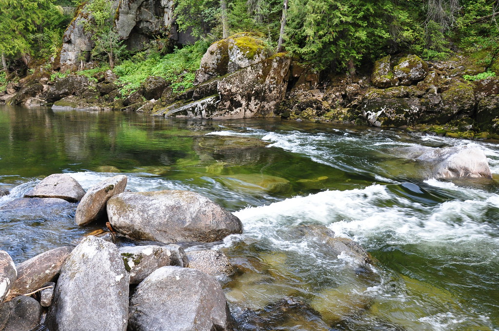 CUPBOARD CREEKHiking · ~11 min drivePhoto: araddon, CC BY 2.0 (via Flickr)
 Greenside Butte TrailHiking · ~19 min drivePhoto: Aaron, CC BY 2.0 (via Wikimedia Commons)
- Cliff Creek TrailHiking · ~16 min drive
- Old High Spring Lookout TrailHiking · ~17 min drive
- Selway River TrailHiking · ~11 min drivePhoto: araddon, CC BY 2.0 (via Flickr)
- Old Jesse Pass TrailHiking · ~1 min drive
- LODGEPOLE RIDGEHiking · ~17 min drive
- Rhoda Creek TrailHiking · ~18 min drive
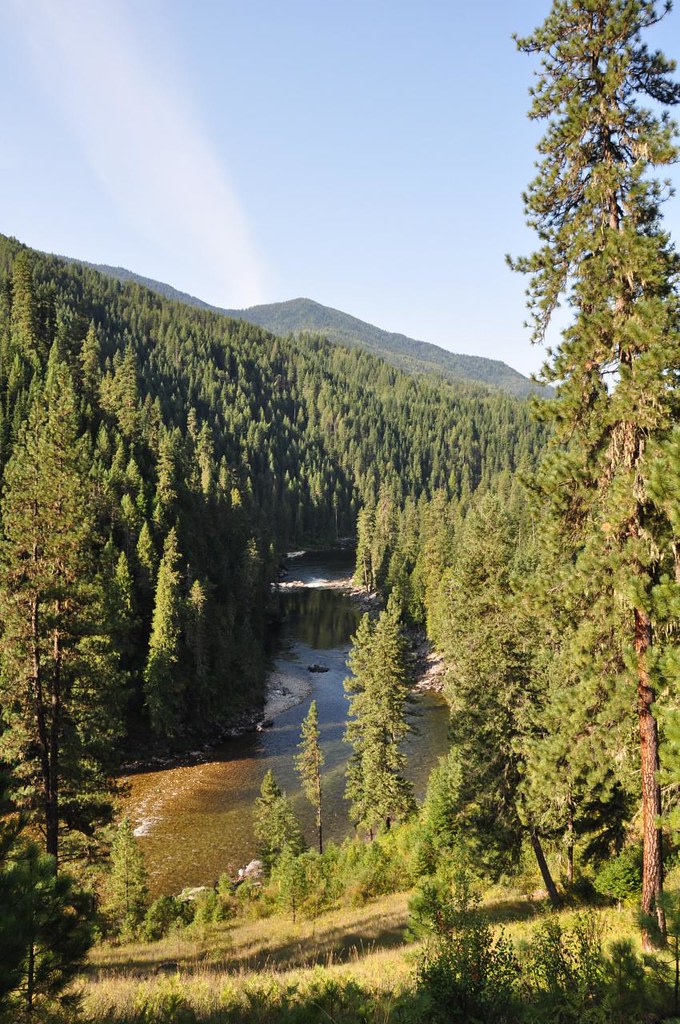 Old Selway River TrailHiking · ~12 min drivePhoto: araddon, CC BY 2.0 (via Flickr)
- BIG FOG MOUNTAINHiking · ~5 min drive
Route details
- Distance
- 10.6 mi round trip
- Climbing
- About 8,807 ft
- Summit
- 7,390 ft
- Difficulty
- Expert
- Time
- About 4.5 hours
Questions about this route
How long is the Gedney Trail on Gedney Mountain?
About 10.6 mi round trip.
How much elevation gain is on the Gedney Trail?
About 8,807 ft of climbing round trip.
How hard is the Gedney Trail?
It is rated expert.
How long does the Gedney Trail take?
About 4.5 hours round trip.
Map and trail data © OpenStreetMap contributors
