Big Fog Saddle
Campground
Campground · 0.8 mi from the trail
Closure in the area
There's a closure order in Nez Perce-Clearwater National Forest. It doesn't name Cupbord Creek Trail, so check the source for the area it covers.
Updated 250 Road Closure
Agency closure covering Nez Perce-Clearwater National Forest · USFS · Nez Perce-Clearwater National Forest
Selway Falls Campground Closure
Agency alert covering Moose Creek Ranger District · Order 01-17-06-26-003 · USFS · Moose Creek Ranger District
O'Hara Beach Area Closure
Agency alert covering Moose Creek Ranger District · Order 01-17-06-26-00 · USFS · Moose Creek Ranger District
Laird Park Water Unavailable For 2026 Season
Agency alert covering Nez Perce-Clearwater National Forest · USFS · Nez Perce-Clearwater National Forest
As of · Source: USFS · Nez Perce-Clearwater National Forest. Agencies don't list every closure — check before you go.
Cupbord Creek Trail is a 6.5-mile out-and-back hike in Idaho's Selway-Bitterroot Wilderness, within the Moose Creek Ranger District of the Nez Perce-Clearwater National Forest. The Forest Service manages the land, and the trail starts at 5,643 feet, the high point of the route, and descends to 1,861 feet before returning. The climb is back-loaded, with the steepest stretch at about 1.9 miles in, and the total gain and loss for the round trip are each about 4,127 feet. Summer is the most comfortable time to go. Typical averages from a nearby weather station at Elk City show July and August highs around 83°F with only six or eight wet days a month, while winter highs stay in the mid-30s. That station sits roughly 1,600 feet lower than the trail's high point, so temperatures on the route run cooler. The trip takes about four hours. The closest neighbors are Big Fog Mountain and Cove Lakes Trail, both about 0.8 miles away, and the Selway River Trail, about 2.5 miles off. Glover Creek campground lies about 8.8 miles away.
Big Fog Saddle
Campground
Elk City Reno Club - Elk City Burger Bar
Burger restaurant
Martin Hot Springs
Hot spring
Places © OpenStreetMap contributors, Places © Overture Maps Foundation
More in Elk City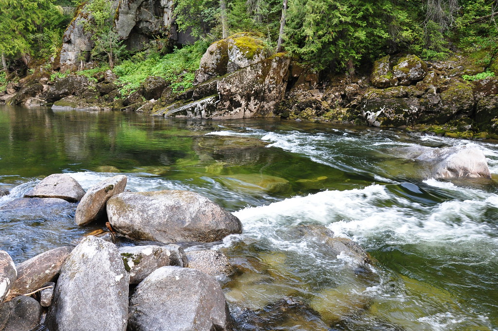 CUPBOARD CREEKHikingPhoto: araddon, CC BY 2.0 (via Flickr)2.5 miSelway River TrailHikingPhoto: araddon, CC BY 2.0 (via Flickr)2.5 mi
Source: Roamze catalog (indexable pages within 10 miles, PostGIS distance)
CUPBOARD CREEKHiking · ~4 min drivePhoto: araddon, CC BY 2.0 (via Flickr)Selway River TrailHiking · ~4 min drivePhoto: araddon, CC BY 2.0 (via Flickr) Three Links Creek TrailHiking · ~10 min drivePhoto: araddon, CC BY 2.0 (via Flickr)Mink Peak TrailHiking · ~10 min drivePhoto: araddon, CC BY 2.0 (via Flickr)
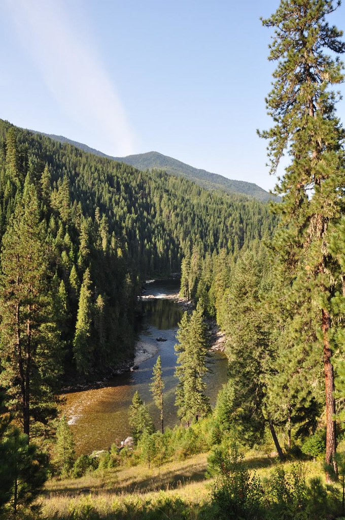 Old Selway River TrailHiking · ~6 min drivePhoto: araddon, CC BY 2.0 (via Flickr)
Best months: July–September. Best months have typical highs of 55–85 °F, lows of 30 °F or warmer (32 °F where the station doesn't record snow), at most one snowy day and no more than 12 wet days.
Jan
35° / 15°
16 wet
Feb
41° / 16°
13 wet
Mar
47° / 21°
15 wet
Apr
53° / 27°
16 wet
May
63° / 33°
15 wet
Jun
71° / 40°
14 wet
Jul
83° / 42°
8 wet
Aug
83° / 39°
6 wet
Sep
74° / 32°
7 wet
Oct
58° / 28°
12 wet
Nov
43° / 22°
15 wet
Dec
33° / 14°
16 wet
Typical high / low (°F) and days with rain or snow, 1991–2020. Measured at Elk City 1ne, ID, 23 mi away at 4,058 ft. The station sits about 1,600 ft lower than this place, so expect it a little cooler here. This station doesn't record snowfall. Source: NOAA NCEI U.S. Climate Normals 1991–2020.
Map and trail data © OpenStreetMap contributors
