Rising Sun Trail
- 0.5 mi
- round trip
- 295 ft
- climb
- Singletrack
- surface
- Out and back
- route
- May–Sep
- best months
Is Rising Sun Trail open right now?
Alert in the area
The Forest Service lists 5 alerts for Payette National Forest.
Over Snow Vehicle Closure
Agency alert covering Payette National Forest · Order 0412-638 · USFS · Payette National Forest
Brundage Mountain Resort Snowcat Route Closure
Agency alert covering Payette National Forest · Order 0412-637 · USFS · Payette National Forest
Lost Valley Log Hauling
Agency alert covering Payette National Forest · USFS · Payette National Forest
Granite Mountain Over Snow Vehicle Closure
Agency alert covering Payette National Forest · Order 0412-635 · USFS · Payette National Forest
Gordon Titus Upper Elevation Parking Lot Winter Restrictions
Agency alert covering Payette National Forest · Order 0412-543 · USFS · Payette National Forest
As of · Source: USFS · Payette National Forest. Agencies don't list every closure — check before you go.
Rising Sun Trail is a short, moderate mountain biking route in Idaho's Payette National Forest, within the McCall Ranger District. The Forest Service manages the land, and the trail is an out-and-back that covers about a mile with a total elevation gain of 295 feet, from a low point of 5,418 feet to a high of 5,565 feet. The steepest stretch comes early, at about 0.13 miles in, with an 8% grade. Summer is the most comfortable time to ride. Typical averages from a nearby weather station in McCall show July and August highs around 81°F with only about five wet days a month, while winter brings highs near 30°F and regular snow days from December through February. The trail sits close to two other mountain biking routes, Rising Sun Two Track and Mack's Connector, both about 0.1 mile away. For an overnight stay, Last Chance campground is about 3.3 miles off, and Goose Creek offers canoeing about 4.4 miles away.
Local outfitters
- Black Bear RV Park5 mi away
Not on Roamze yet. Their page has how to reach them.
- Rising Sun Two TrackMountain biking0.1 mi
- Mack's ConnectorMountain biking0.1 mi
- Last ChanceCamping3.3 mi
- Goose CreekCanoeing4.4 mi
- East Branch Goose CreekCanoeing5.5 mi
- The Thinking SpotRock climbing5.7 mi
- McCall AreaRock climbing6.1 mi
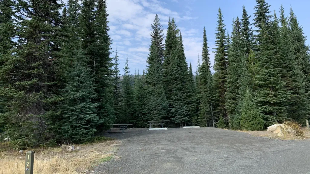 Grouse CampgroundCampingPhoto: Recreation.gov (RIDB) / public domain8.1 mi
Source: Roamze catalog (indexable pages within 10 miles, PostGIS distance)
- Rising Sun Two TrackMountain biking · Next door
- Rising SunMountain biking · Next door
- Rising Sun TrailMountain biking · Next door
- Lower Drain TrailMountain biking · ~1 min drive
- Mack's ConnectorMountain biking · Next door
- Rising Sun Two TrackMountain biking · Next door
- Blue Ridge LoopMountain biking · Next door
- Sleepy Hollow TrailMountain biking · ~1 min drive
- Missing LinkMountain biking · Next door
- Della's Delight TrailMountain biking · Next door
Best time to visit Rising Sun Trail
Best months: May–September. Best months have typical highs of 55–85 °F, lows of 30 °F or warmer (32 °F where the station doesn't record snow), at most one snowy day and no more than 12 wet days.
Jan
31° / 13°
14 wet · 11 snow
Feb
36° / 14°
12 wet · 9 snow
Mar
43° / 20°
13 wet · 7 snow
Apr
51° / 27°
12 wet · 3 snow
May
61° / 35°
12 wet · 1 snow
Jun
70° / 40°
10 wet
Jul
81° / 45°
5 wet
Aug
81° / 43°
5 wet
Sep
72° / 36°
6 wet
Oct
57° / 28°
9 wet · 2 snow
Nov
40° / 21°
13 wet · 7 snow
Dec
30° / 13°
15 wet · 12 snow
Typical high / low (°F) and days with rain or snow, 1991–2020. Measured at Mccall, ID, 4.9 mi away at 5,025 ft. The station sits about 500 ft lower than this place, so expect it a little cooler here. Source: NOAA NCEI U.S. Climate Normals 1991–2020.
Map and trail data © OpenStreetMap contributors
