Rising Sun Two Track
- 0.4 mi
- round trip
- 124 ft
- climb
- Singletrack
- surface
- Out and back
- route
- May–Sep
- best months
Is Rising Sun Two Track open right now?
Alert in the area
The Forest Service lists 5 alerts for Payette National Forest.
Over Snow Vehicle Closure
Agency alert covering Payette National Forest · Order 0412-638 · USFS · Payette National Forest
Brundage Mountain Resort Snowcat Route Closure
Agency alert covering Payette National Forest · Order 0412-637 · USFS · Payette National Forest
Lost Valley Log Hauling
Agency alert covering Payette National Forest · USFS · Payette National Forest
Granite Mountain Over Snow Vehicle Closure
Agency alert covering Payette National Forest · Order 0412-635 · USFS · Payette National Forest
Gordon Titus Upper Elevation Parking Lot Winter Restrictions
Agency alert covering Payette National Forest · Order 0412-543 · USFS · Payette National Forest
As of · Source: USFS · Payette National Forest. Agencies don't list every closure — check before you go.
Rising Sun Two Track is a short, easy mountain biking route in Idaho's Payette National Forest, within the McCall Ranger District. The Forest Service manages the land, and the trail is an out-and-back that starts and ends at about 5,550 feet, with a high point of 5,565 feet and a total elevation gain of 124 feet over the course of the 0.82-mile round trip. Summer is the most comfortable time to ride. Typical averages from a nearby weather station in McCall show July and August highs around 81°F with only about five wet days a month, while winter brings highs near 30°F and regular snow days from December through February. The Rising Sun Trail, a hiking route, lies just 0.1 mile away, and Mack's Connector, another mountain biking route, is 0.2 mile off. For an overnight stay, Last Chance campground is about 3 miles away, and Goose Creek offers canoeing roughly 4 miles out.
Local outfitters
- Black Bear RV Park5 mi away
Not on Roamze yet. Their page has how to reach them.
- Rising Sun TrailHiking0.1 mi
- Mack's ConnectorMountain biking0.2 mi
- Last ChanceCamping3.2 mi
- Goose CreekCanoeing4.3 mi
- East Branch Goose CreekCanoeing5.4 mi
- The Thinking SpotRock climbing5.7 mi
- McCall AreaRock climbing6.1 mi
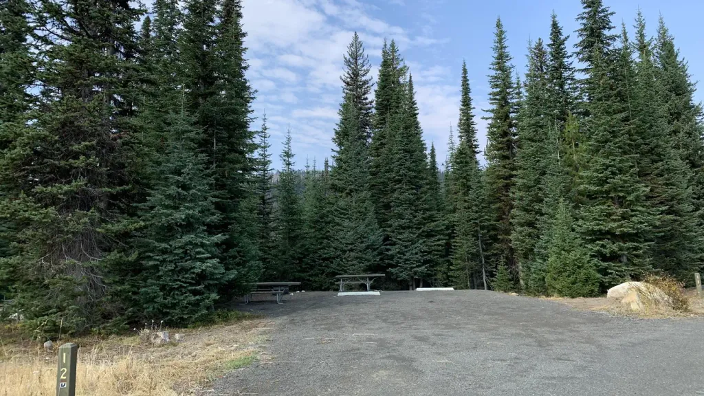 Grouse CampgroundCampingPhoto: Recreation.gov (RIDB) / public domain8.1 mi
Source: Roamze catalog (indexable pages within 10 miles, PostGIS distance)
- Rising Sun TrailMountain biking · Next door
- Mack's ConnectorMountain biking · Next door
- Rising SunMountain biking · Next door
- Lower Drain TrailMountain biking · ~1 min drive
- Rising Sun TrailMountain biking · Next door
- Sleepy Hollow TrailMountain biking · ~1 min drive
- Rising Sun Two TrackMountain biking · Next door
- Blue Ridge LoopMountain biking · Next door
- Sleepy Hollow ConnectorMountain biking · ~1 min drive
- Missing LinkMountain biking · Next door
Best time to visit Rising Sun Two Track
Best months: May–September. Best months have typical highs of 55–85 °F, lows of 30 °F or warmer (32 °F where the station doesn't record snow), at most one snowy day and no more than 12 wet days.
Jan
31° / 13°
14 wet · 11 snow
Feb
36° / 14°
12 wet · 9 snow
Mar
43° / 20°
13 wet · 7 snow
Apr
51° / 27°
12 wet · 3 snow
May
61° / 35°
12 wet · 1 snow
Jun
70° / 40°
10 wet
Jul
81° / 45°
5 wet
Aug
81° / 43°
5 wet
Sep
72° / 36°
6 wet
Oct
57° / 28°
9 wet · 2 snow
Nov
40° / 21°
13 wet · 7 snow
Dec
30° / 13°
15 wet · 12 snow
Typical high / low (°F) and days with rain or snow, 1991–2020. Measured at Mccall, ID, 5 mi away at 5,025 ft. The station sits about 500 ft lower than this place, so expect it a little cooler here. Source: NOAA NCEI U.S. Climate Normals 1991–2020.
Map and trail data © OpenStreetMap contributors
