Payette Rim
- 0.7 mi
- round trip
- 445 ft
- climb
- Singletrack
- surface
- Out and back
- route
- Jun–Sep
- best months
Clear today
Weather is good · OpenWeather · checked 3 h ago
Payette Rim is a short, moderate mountain biking route in Idaho, set on state land managed by the State Department of Land. The climb is an out-and-back of about 1.5 miles, with a low point of 6,133 feet and a high of 6,201 feet. The steepest stretch comes at about 0.33 miles, with a 7% grade, and the total elevation gain is 56 feet. Summer is the most comfortable time to ride. Typical averages from a nearby weather station at McCall show July and August highs around 81°F with only about four wet days a month, while winter highs stay near freezing. Upper Rim lies about half a mile away, and the Brundage To Bear Basin Trail is roughly 1.8 miles off. Climbers can head to The Thinking Spot, about 2.9 miles away, and paddlers to Goose Creek, about 4.2 miles away.
Local outfitters
- Black Bear RV Park6 mi away
Not on Roamze yet. Their page has how to reach them.
- Upper RimMountain biking0.5 mi
- Brundage To Bear Basin TrailMountain biking1.8 mi
- The Thinking SpotRock climbing2.9 mi
- Goose CreekCanoeing4.2 mi
- Last ChanceCamping4.2 mi
- McCall AreaRock climbing4.7 mi
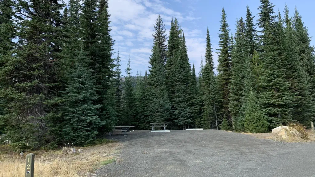 Grouse CampgroundCampingPhoto: Recreation.gov (RIDB) / public domain7 mi
 North Fork Payette RiverCanoeingPhoto: Mll1013, Public domain (via Wikimedia Commons)7.2 mi
Source: Roamze catalog (indexable pages within 10 miles, PostGIS distance)
- Payette RimMountain biking · Next door
- Lakeview VistaMountain biking · ~3 min drive
- Rising Sun Two TrackMountain biking · ~5 min drive
- Upper RimMountain biking · Next door
- Brundage-Bear BasinMountain biking · ~3 min drive
- Mack's ConnectorMountain biking · ~5 min drive
- Upper RimMountain biking · ~1 min drive
- Huckleberry LoopMountain biking · ~4 min drive
- Rising Sun Two TrackMountain biking · ~5 min drive
- Upper RimMountain biking · ~1 min drive
Best time to visit Payette Rim
Best months: June–September. Best months have typical highs of 55–85 °F, lows of 30 °F or warmer (32 °F where the station doesn't record snow), at most one snowy day and no more than 12 wet days.
Jan
31° / 13°
15 wet
Feb
35° / 15°
13 wet
Mar
42° / 21°
16 wet
Apr
50° / 28°
13 wet
May
61° / 36°
13 wet
Jun
69° / 42°
10 wet
Jul
81° / 47°
4 wet
Aug
81° / 45°
4 wet
Sep
71° / 38°
6 wet
Oct
56° / 29°
9 wet
Nov
40° / 21°
13 wet
Dec
30° / 14°
15 wet
Typical high / low (°F) and days with rain or snow, 1991–2020. Measured at Mccall Ap, ID, 6 mi away at 5,013 ft. The station sits about 1,200 ft lower than this place, so expect it a little cooler here. This station doesn't record snowfall. Source: NOAA NCEI U.S. Climate Normals 1991–2020.

Map and trail data © OpenStreetMap contributors
