Quartz View Trail
- 4.8 mi
- round trip
- 3,484 ft
- climb
- 3,609 ft
- high point
- Out and back
- route
- May–Sep
- best months
Is Quartz View Trail open right now?
Closure in the area
There's a closure order in Idaho Panhandle National Forests. It doesn't name Quartz View Trail, so check the source for the area it covers (3 listed).
Emergency Road Closure Lightning Creek / Forest Road 419
Agency closure covering Idaho Panhandle National Forests · Order 0104-06-26-002 · USFS · Idaho Panhandle National Forests
Abandoned Mines Area Closure
Agency closure covering Idaho Panhandle National Forests · Order 1-04-00-25-001 · USFS · Idaho Panhandle National Forests
Idaho Panhandle Seasonal Food Storage Order
Agency closure covering Idaho Panhandle National Forests · Order 01-04-00-24-001 · USFS · Idaho Panhandle National Forests
Heavy Truck Traffic on FS Road 209
Agency alert covering Idaho Panhandle National Forests · USFS · Idaho Panhandle National Forests
IPNF Glass Container Restrictions
Agency alert covering Idaho Panhandle National Forests · Order 01-04-00-24-002 · USFS · Idaho Panhandle National Forests
As of · Source: USFS · Idaho Panhandle National Forests. Agencies don't list every closure — check before you go.
Quartz View Trail is a hard hike in Idaho's Priest Lake Ranger District, part of the Idaho Panhandle National Forests, managed by the Forest Service. The trail is an out-and-back of about 9.7 miles, with a total elevation gain of 3,484 feet. The route starts at roughly 2,630 feet and climbs to a high point of 3,609 feet, with the steepest stretch at about 0.45 miles in, where the grade reaches 29 percent. Summer is the most comfortable time to go. Typical averages from a nearby weather station show July and August highs around 83°F with only five or six wet days a month, while winter brings highs near freezing and regular snow from December through February. That station sits about 1,200 feet lower than the trail's high point, so temperatures on the summit run cooler. The trip takes about five hours. Steep Creek Trail lies half a mile away, and Peewee Trail and John Wayne Trail are within about 2 miles. For paddling, the Lower West Branch Priest River is about 3 miles off.
Local outfitters
- Nordman Resort22 mi away
- Tour CDA45 mi away
Not on Roamze yet. Their page has how to reach them.
Conditions and forecast on Pewee Peak
Daily highs and lows, wind and the chance of precipitation at the summit and route start for the next 7 days, from the Open-Meteo model.
- Steep Creek TrailHiking0.5 mi
- Peewee TrailHiking1.3 mi
- John Wayne TrailHiking2.1 mi
- Pee Wee TrailHiking2.6 mi
- Lower West Branch Priest RiverCanoeing3 mi
- Pioneer ParkCamping9.3 mi
 Priest RiverCampingPhoto: Recreation.gov (RIDB) / public domain9.5 mi
- No Name LakeCamping9.8 mi
Source: Roamze catalog (indexable pages within 10 miles, PostGIS distance)
 Pend Oreille River Passage TrailHiking · ~18 min drivePhoto: WaterArchives.org from Sacramento, California, USA, CC BY-SA 2.0 (via Wikimedia Commons)
- Steep Creek TrailHiking · Next door
- Binarch Creek TrailHiking · ~21 min drive
- Bead Lake TrailHiking · ~15 min drive
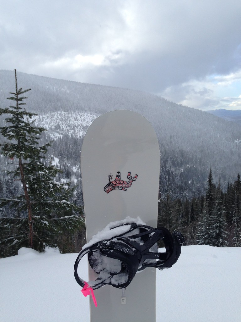 Uleda Ridge TrailHiking · ~22 min drivePhoto: igb, CC BY 2.0 (via Flickr)
- Peewee TrailHiking · ~2 min drive
- BINARCH CREEKHiking · ~21 min drive
- Pee Wee TrailHiking · ~4 min drive
- John Wayne TrailHiking · ~4 min drive
- Binarch MountainHiking · ~22 min drive
Best time to visit Quartz View Trail
Best months: May–September. Best months have typical highs of 55–85 °F, lows of 30 °F or warmer (32 °F where the station doesn't record snow), at most one snowy day and no more than 12 wet days.
Jan
32° / 22°
16 wet · 10 snow
Feb
37° / 22°
13 wet · 6 snow
Mar
46° / 26°
14 wet · 4 snow
Apr
57° / 31°
13 wet
May
68° / 39°
12 wet
Jun
74° / 44°
11 wet
Jul
83° / 48°
6 wet
Aug
83° / 46°
5 wet
Sep
72° / 39°
7 wet
Oct
54° / 32°
12 wet
Nov
38° / 27°
15 wet · 5 snow
Dec
31° / 22°
17 wet · 11 snow
Typical high / low (°F) and days with rain or snow, 1991–2020. Measured at Priest Rvr Exp Stn, ID, 4.7 mi away at 2,371 ft. The station sits about 1,200 ft lower than this place, so expect it a little cooler here. Source: NOAA NCEI U.S. Climate Normals 1991–2020.
Route details
- Distance
- 4.8 mi round trip
- Climbing
- About 3,484 ft
- Summit
- 3,613 ft
- Difficulty
- Hard
- Time
- About 2.5 hours
Other routes up Pewee Peak
Questions about this route
How long is the Quartz View Trail on Pewee Peak?
About 4.8 mi round trip.
How much elevation gain is on the Quartz View Trail?
About 3,484 ft of climbing round trip.
How hard is the Quartz View Trail?
It is rated hard.
How long does the Quartz View Trail take?
About 2.5 hours round trip.
How many routes go up Pewee Peak?
3: Peewee Trail, John Wayne Trail and Quartz View Trail.
Map and trail data © OpenStreetMap contributors
