

Village of Trees RV Resort
Hiking business nearby (~17 mi away) — hasn't claimed their Roamze page yet
Free — you'll pick up right here.
Watch this trail
Sign up to watch it — saving subscribes you to gate, closure and report changes.
Idaho
6.9 mi
Distance
617 ft
Gain
We won't guess. Here is exactly what we do and don't know.
What we do know
Inside Sawtooth National Forest
2 managing-area boundaries mapped — agency alerts for them feed this page automatically.
Boundary data
What's missing
No access route mapped
We don't yet know which road reaches this trailhead, so we can't tell you if it's gated.
Nobody's filed a report here yet — be the first.
Why you'll love it
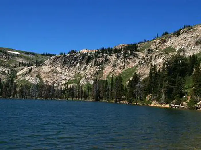
Twin Lakes
AI-suggested draft · review before you go
No permit or access details on file for this trail — check with the local land manager before you go.
Twin Lakes is a scenic 6.86-mile round-trip hike featuring moderate elevation gain through Idaho's backcountry. This trail offers access to alpine lake views with rewarding vistas typical of the region's mountain terrain. The route combines forested sections with open areas, providing a balanced hiking experience for those seeking mountain lakes without extreme technical difficulty.
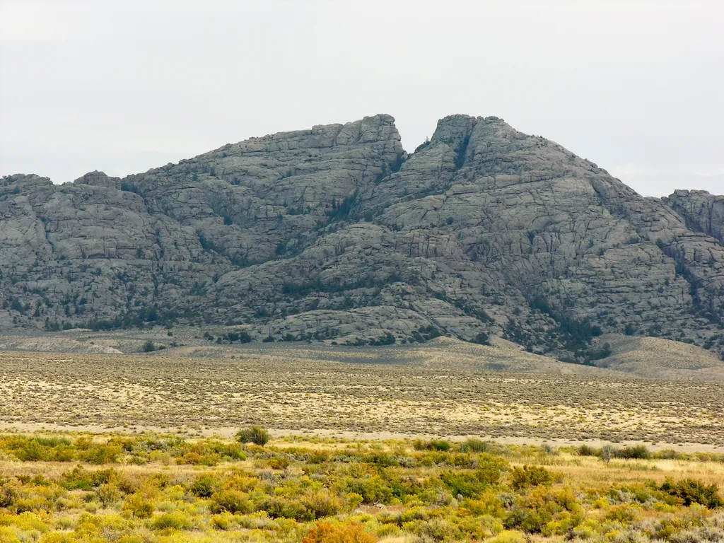
City of Rocks National Reserve, the California Trail
~27 min drive
Although there may have been some visitation to the area by Europeans and Americans during the fur trade and exploration-era, the establishment of the California Trail through the City of Rocks is what brought the first significant number of European-Americans to what is now t…
Thompson Flat
~1 min drive
Moderate 3.66-mile foothill hike with 757 ft elevation gain near Thompson Flat.
Mt Harrison Lookout
~1 min drive
Moderate hike to historic fire lookout with panoramic mountain views.
Lake Cleveland
~2 min drive
Easy 2.2-mile lakeside walk with minimal elevation gain.
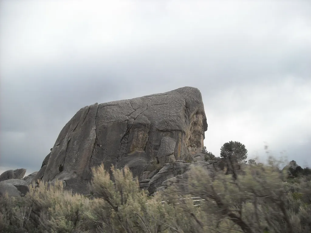
Geological Interpretive Trail - 1 mile
~28 min drive
Have you ever visited City of Rocks and wondered, “How did this happen?” or “Why do the rocks look like this?” The Geological Interpretive Trail is the perfect short hike to: see fascinating geological formations up close examine the difference between the Green Creek Comple…
Cold Springs Creek
~9 min drive
Easy creek-side walk through Idaho backcountry with minimal elevation gain.
Independence Lakes
~14 min drive
Moderate 9-mile alpine lake hike with 1,659 ft elevation gain.
Howell Canyon Trail
~2 min drive
Easy 2.3-mile canyon walk with minimal elevation gain.

Parking Lot Rock Trailhead
~30 min drive
This is the end of the Creekside Towers Trail, or the beginning depending on which end you start from. If you need a rest stop there is a bathroom located about 500 ft up the road.
Juniper
~54 min drive
Easy 5.9-mile desert walk through juniper woodlands with minimal elevation gain.
Local operatorsoffering guided trips. You book directly with them — Roamze doesn’t take a cut.
Village of Trees RV Resort
Hiking business nearby (~17 mi away) — hasn't claimed their Roamze page yet