Smoky Mountain Campground
Campground
Campground · 3.7 mi from the trail
 Photo: Seth Tisue, CC BY-SA 2.0 (via Flickr)
The Backyard Boulders Return Route is a trail in Castle Rocks State Park in Idaho, managed by State Park and Recreation. It returns alongside Stines Creek, Kid Rock and the Stines Creek Picnic Area, making it a natural way to retrace your steps after a visit to the picnic area or a stop at Kid Rock. For a family outing, rangers suggest the trails to the Almo Creek Wetland and Eagle Rock Grove. The Castle Rock Trail, a five-mile route that takes about three hours, is an option for those looking for a longer adventure. Summer is the most comfortable time to visit. Typical averages from a nearby weather station in Oakley show July and August highs around 86°F with lows in the mid-50s, while temperatures at the park run cooler because the station sits about 1,400 feet lower. The route sits right next to several climbing areas, including Tiny Town, Castle Rocks Bouldering and Castle Rock - North Spur, all about 0.1 mile away. The Geological Interpretive Trail - 1 mile is about 2.7 miles off.
Smoky Mountain Campground
Campground
Oakley Valley Historical Museum
Museum
Places © OpenStreetMap contributors, Places © Overture Maps Foundation
More in OakleyNot on Roamze yet. Their page has how to reach them.
 Tiny TownRock climbingPhoto: Seth Tisue, CC BY-SA 2.0 (via Flickr)0.1 mi
 Castle Rocks BoulderingRock climbingPhoto: Seth Tisue, CC BY-SA 2.0 (via Flickr)0.1 miWest Buttress - SouthRock climbingPhoto: Seth Tisue, CC BY-SA 2.0 (via Flickr)0.2 mi
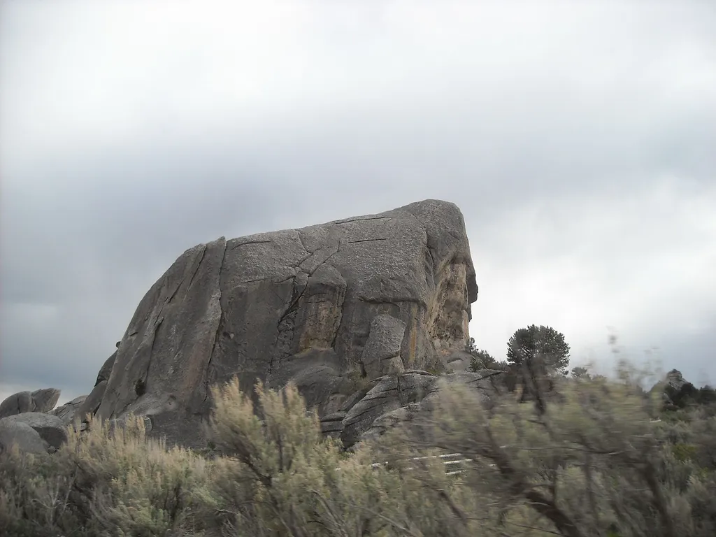 Geological Interpretive Trail - 1 mileHikingPhoto: photophat — Wikimedia Commons (CC BY 3.0)2.7 mi
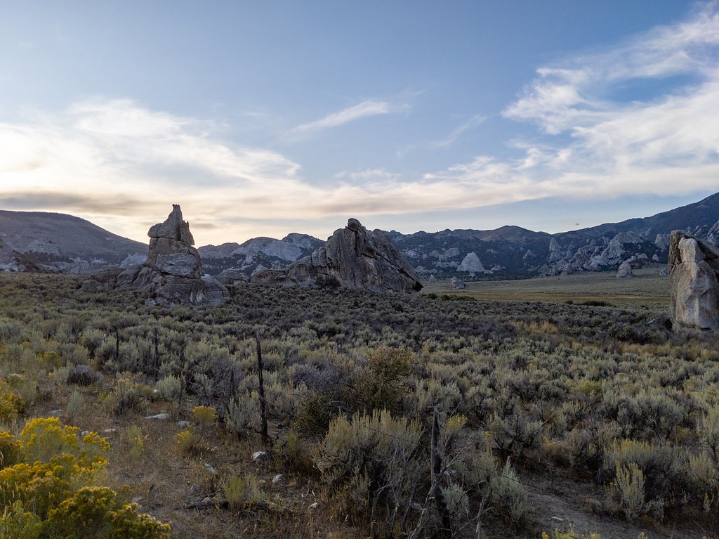 Steinfell's Dome TrailHikingPhoto: RuggyBearLA, CC BY 2.0 (via Flickr)2.7 miGeological TrailHikingPhoto: RuggyBearLA, CC BY 2.0 (via Flickr)2.8 mi
Source: Roamze catalog (indexable pages within 10 miles, PostGIS distance)
Around the Rock TrailHiking · Next doorPhoto: Seth Tisue, CC BY-SA 2.0 (via Flickr) Backyard Boulders TrailheadHiking · Next doorPhoto: Seth Tisue, CC BY-SA 2.0 (via Flickr)Castle Rocks TrailHiking · Next doorPhoto: Seth Tisue, CC BY-SA 2.0 (via Flickr)
 Backyard Boulders TrailHiking · Next doorPhoto: Seth Tisue, CC BY-SA 2.0 (via Flickr)
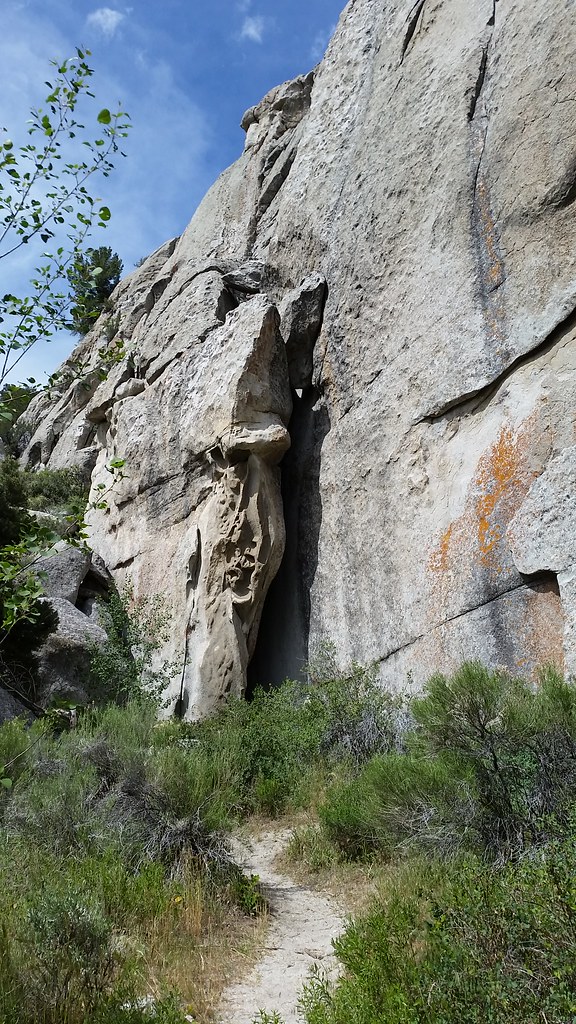 Beef Jello TrailHiking · ~5 min drivePhoto: cifraser1, CC BY 2.0 (via Flickr)Bracksiek`s Pillar TrailHiking · Next doorPhoto: Seth Tisue, CC BY-SA 2.0 (via Flickr)
Best months: April–June and September–October. Best months have typical highs of 55–85 °F, lows of 30 °F or warmer (32 °F where the station doesn't record snow), at most one snowy day and no more than 12 wet days.
Jan
40° / 21°
6 wet
Feb
44° / 24°
6 wet
Mar
54° / 30°
7 wet
Apr
60° / 34°
8 wet
May
69° / 41°
9 wet
Jun
78° / 48°
6 wet
Jul
86° / 57°
4 wet
Aug
86° / 56°
4 wet
Sep
77° / 47°
4 wet
Oct
64° / 37°
5 wet
Nov
49° / 28°
6 wet
Dec
39° / 21°
6 wet
Typical high / low (°F) and days with rain or snow, 1991–2020. Measured at Oakley, ID, 13.8 mi away at 4,559 ft. The station sits about 1,400 ft lower than this place, so expect it a little cooler here. This station doesn't record snowfall. Source: NOAA NCEI U.S. Climate Normals 1991–2020.

