Lake Cleveland Campground - West Side
Campground
Campground · 0.8 mi from the trail
 Photo: User:Quasipalm, Public domain (via Wikimedia Commons)
Alert in the area
The Forest Service lists 4 alerts for Sawtooth National Forest.
Paradise Prescribed Burn Restricted Access
Agency alert covering Sawtooth National Forest · USFS · Sawtooth National Forest
Grandjean Area, Road, and Trail Closure
Agency alert covering Sawtooth National Forest · Order 0414-04-165 · USFS · Sawtooth National Forest
Over-Snow Vehicle and Bicycle Prohibitions
Agency alert covering Sawtooth National Forest · Order 0414-00-028 · USFS · Sawtooth National Forest
Occupancy and Use - Food Storage
Agency alert covering Sawtooth National Forest · Order 0414-04-143 · USFS · Sawtooth National Forest
As of · Source: USFS · Sawtooth National Forest. Agencies don't list every closure — check before you go.
Mount Harrison is a summit in Cassia County, Idaho, rising to about 9,260 feet. It sits in the Minidoka Ranger District of the Sawtooth National Forest, about 8 miles from the town of Albion. Hikers can start close by on New Canyon, about 0.3 miles away, or Marsh Creek, about 0.8 miles away. Lake Cleveland Campground - West Side and Lake Cleveland - East Side offer camping within about a mile. Climbers can head to Castle Rocks, roughly 9 miles off.
Lake Cleveland Campground - West Side
Campground
Oakley Valley Historical Museum
Museum
Places © OpenStreetMap contributors
More in OakleyDaily highs and lows, wind and the chance of precipitation at the summit for the next 7 days, from the Open-Meteo model.
Elevation from USGS 3D Elevation Program terrain data (about 10 m resolution).
We don't know of a mapped trail or route to the summit of Mount Harrison. Plan the approach with local maps, a guidebook or a local guide, and check conditions before you go.
9,260 ft (2,822 m).
We don't know of a mapped trail or route to the summit. Plan the approach with local maps, a guidebook or a local guide.

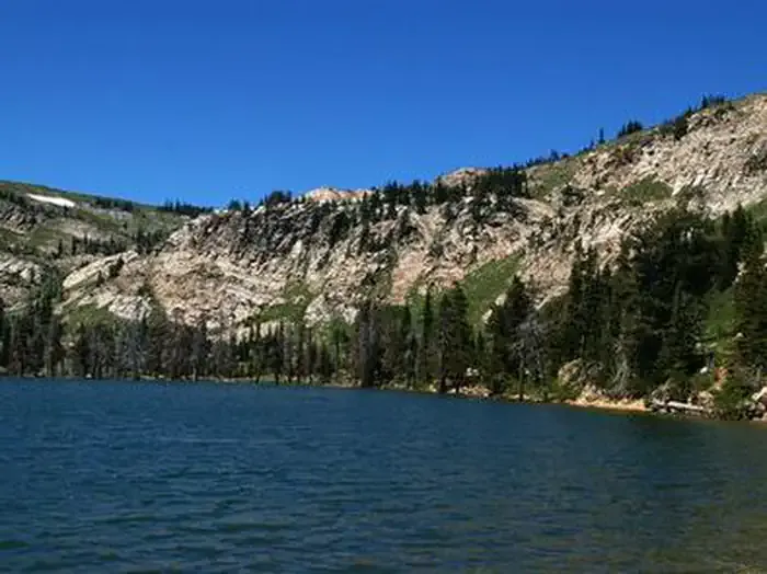 Lake Cleveland - East SideCampingPhoto: Recreation.gov (RIDB) / public domain1.1 mi
Source: Roamze catalog (indexable pages within 10 miles, PostGIS distance)


