Bennett Springs Cg
Campground
Campground · 0.1 mi from the trail
Alert in the area
The Forest Service lists 4 alerts for Sawtooth National Forest.
Paradise Prescribed Burn Restricted Access
Agency alert covering Sawtooth National Forest · USFS · Sawtooth National Forest
Grandjean Area, Road, and Trail Closure
Agency alert covering Sawtooth National Forest · Order 0414-04-165 · USFS · Sawtooth National Forest
Over-Snow Vehicle and Bicycle Prohibitions
Agency alert covering Sawtooth National Forest · Order 0414-00-028 · USFS · Sawtooth National Forest
Occupancy and Use - Food Storage
Agency alert covering Sawtooth National Forest · Order 0414-04-143 · USFS · Sawtooth National Forest
As of · Source: USFS · Sawtooth National Forest. Agencies don't list every closure — check before you go.
Howell Creek is a short, easy out-and-back hike in Idaho's Sawtooth National Forest, within the Minidoka Ranger District. The trail is about 1.8 miles long, and the climb is back-loaded, with the steepest stretch at about 0.45 miles in. The high point is 7,395 feet, and the total elevation gain is 544 feet, so the route is roughly balanced between the climb up and the descent back. The trail starts at about 7,391 feet and reaches 7,395 feet at the top. The steepest grade is about 16 percent, and the trip takes about an hour. The Forest Service manages the land, and the trail sits close to two other destinations: Howell Canyon Trail and Bennett Springs Campground, both about 0.1 mile away. Twin Lakes and Thompson Flat are each about a mile off, and the Skyline Trail is about 1.5 miles away. For climbing, Connor Columns is about 6 miles away.
Bennett Springs Cg
Campground
Oakley Valley Historical Museum
Museum
Places © OpenStreetMap contributors
More in OakleyNot on Roamze yet. Their page has how to reach them.
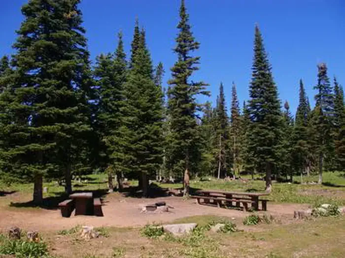 Thompson FlatCampingPhoto: Recreation.gov (RIDB) / public domain1.2 mi
Source: Roamze catalog (indexable pages within 10 miles, PostGIS distance)
 Comp wall TrailHiking · ~24 min drivePhoto: Seth Tisue, CC BY-SA 2.0 (via Flickr)
 Castle Rocks TrailHiking · ~24 min drivePhoto: Seth Tisue, CC BY-SA 2.0 (via Flickr)
 Backyard Boulders Return RouteHiking · ~24 min drivePhoto: Seth Tisue, CC BY-SA 2.0 (via Flickr)Ranch road trailHiking · ~24 min drivePhoto: Seth Tisue, CC BY-SA 2.0 (via Flickr)
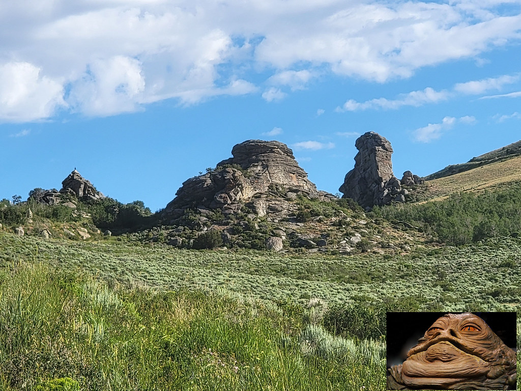 Indian GroveHiking · ~29 min drivePhoto: AndreyZharkikh, CC BY 2.0 (via Flickr)Backyard Boulders TrailheadHiking · ~25 min drivePhoto: Seth Tisue, CC BY-SA 2.0 (via Flickr)

