Rd 499 Site 4
Campground
Campground · 2.3 mi from the trail
Caution today
Agency alerts are in effect for this area; weather is marginal · USFS, OpenWeather · checked 9 h ago
Closure in the area
There's a closure order in Idaho Panhandle National Forests. It doesn't name Trail D, so check the source for the area it covers (4 listed).
Emergency Road Closure Lightning Creek / Forest Road 419
Agency closure covering Idaho Panhandle National Forests · Order 0104-06-26-002 · USFS · Idaho Panhandle National Forests
West Fork Eagle Creek/Forest Road 805
Agency closure covering Coeur d'Alene River Ranger District · Order 01-04-03-26-002 · USFS · Coeur d'Alene River Ranger District
Abandoned Mines Area Closure
Agency closure covering Idaho Panhandle National Forests · Order 1-04-00-25-001 · USFS · Idaho Panhandle National Forests
Idaho Panhandle Seasonal Food Storage Order
Agency closure covering Idaho Panhandle National Forests · Order 01-04-00-24-001 · USFS · Idaho Panhandle National Forests
Forest Service Roads 265, 422 and 911 Closure
Agency alert covering Coeur d'Alene River Ranger District · Order 01-04-03-26-018 · USFS · Coeur d'Alene River Ranger District
As of · Source: USFS · Idaho Panhandle National Forests. Agencies don't list every closure — check before you go.
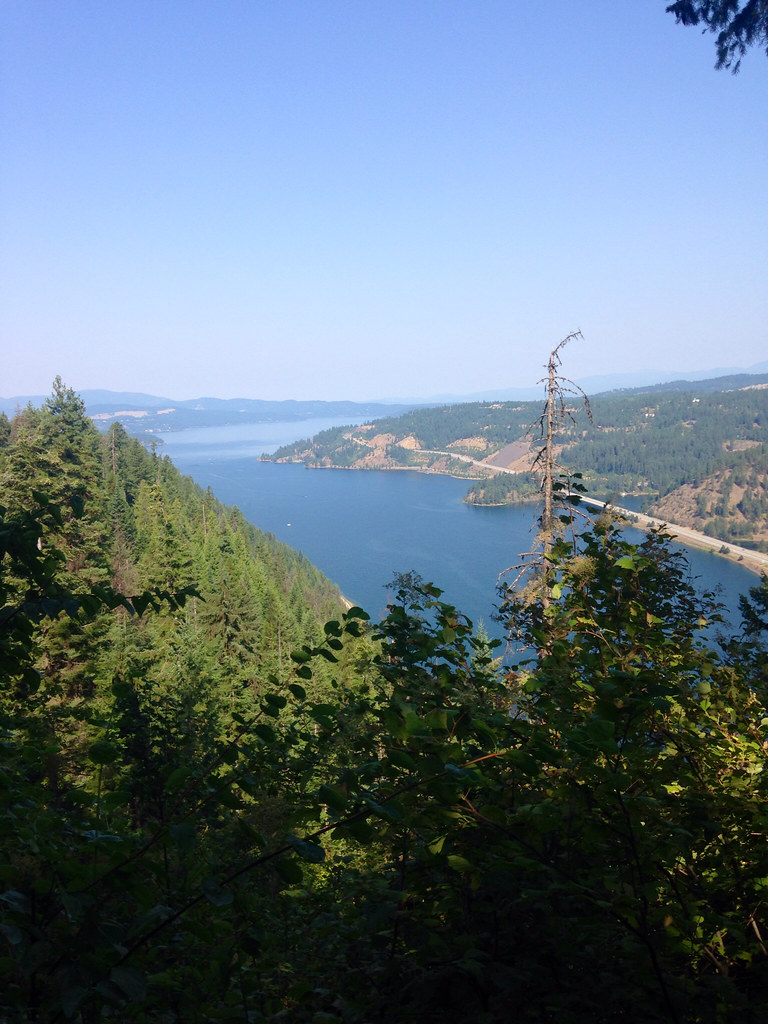
Trail D is a moderate out-and-back hike in Idaho's Coeur d'Alene River Ranger District, part of the Idaho Panhandle National Forests. The route is about 4.2 miles long, with a total elevation gain of 1,395 feet, and it starts and ends at about 3,630 feet. The high point is 4,312 feet, and the climb is front-loaded, with the steepest stretch at about 1.8 miles in, where the grade reaches 27%. Summer is the most comfortable time to go. Typical averages from a nearby weather station show July highs around 81°F and lows near 52°F, while temperatures at the higher end of the route run cooler than those figures. The hike takes about two hours. The trail is managed by the Forest Service, and the nearest town is Plummer, about 33 miles away. Mokins Bay Campground is about 3 miles off, and the Canfield Mountain Trail Cmplex Tr-10 and Huckleberry Mountain are both within 2 miles.
Rd 499 Site 4
Campground
 If it rainsAntony-22, CC BY-SA 4.0 · Wikimedia Commons
Local history museum in Coeur d'Alene, Idaho
Places © OpenStreetMap contributors, Places © Overture Maps Foundation · Photos: Antony-22, CC BY-SA 4.0 (commons)
More in Post FallsNot on Roamze yet. Their page has how to reach them.
 Mokins Bay CampgroundCampingPhoto: Recreation.gov (RIDB) / public domain3 mi
Source: Roamze catalog (indexable pages within 10 miles, PostGIS distance)
 Loch Haven Nature TrailHiking · ~9 min drivePhoto: Forest Service - Northern Region, Public Domain Mark (via Flickr)
 Mineral Ridge TrailHiking · ~15 min drivePhoto: Umnak, CC BY-SA 2.0 (via Flickr)
 Blue TrailHiking · ~13 min drivePhoto: waterarchives, CC BY-SA 2.0 (via Flickr)Orange TrailHiking · ~13 min drivePhoto: waterarchives, CC BY-SA 2.0 (via Flickr)
Best months: April–October. Best months have typical highs of 55–85 °F, lows of 30 °F or warmer (32 °F where the station doesn't record snow), at most one snowy day and no more than 12 wet days.
Jan
37° / 24°
Feb
40° / 25°
Mar
47° / 29°
Apr
55° / 34°
May
65° / 41°
Jun
70° / 45°
Jul
81° / 52°
Aug
83° / 51°
Sep
73° / 44°
Oct
57° / 36°
Nov
43° / 30°
Dec
35° / 23°
Typical high / low (°F) and days with rain or snow, 1991–2020. Measured at Plummer 3 Wsw, ID, 32.6 mi away at 2,905 ft. The station sits about 1,400 ft lower than this place, so expect it a little cooler here. This station doesn't record snowfall. Source: NOAA NCEI U.S. Climate Normals 1991–2020.
Map and trail data © OpenStreetMap contributors
