Summit
- 34.2 mi
- round trip
- 1,604 ft
- climb
- 9,016 ft
- high point
- Out and back
- route
Is Summit open right now?
Closure in the area
There's a closure order in Boise National Forest. It doesn't name Summit, so check the source for the area it covers.
UPDATED Sept. 19 - Crooked Fire Area, Road, and Trail Closure
Agency closure covering Boise National Forest · Order 0402-03-140 · USFS · Boise National Forest
Lava Fire Road Closure
Agency alert covering Boise National Forest · Order 0402-06-84 · USFS · Boise National Forest
As of · Source: USFS · Boise National Forest. Agencies don't list every closure — check before you go.
Summit is a hard hike in Idaho's Boise National Forest, within the Cascade Ranger District. The trail is 34 miles long, and it rises from about 8,000 feet to nearly 9,000 feet, with a total gain of 1,600 feet on the way to the top. The trail is an out-and-back, and it is open year-round. It is a natural-surface route that allows horses and bikes, so riders and equestrians can plan for the full trip. Indian Creek lies about a mile away, and Riordan Lake Trail and Thunder Mountain Trail are each about 3.5 miles off. For paddling, Pistol Creek is about 7 miles away.
Local outfitters
- Black Bear RV Park35 mi away
- Arrowhead RV Park37 mi away
Not on Roamze yet. Their page has how to reach them.
Keep exploring — more trails worth the drive
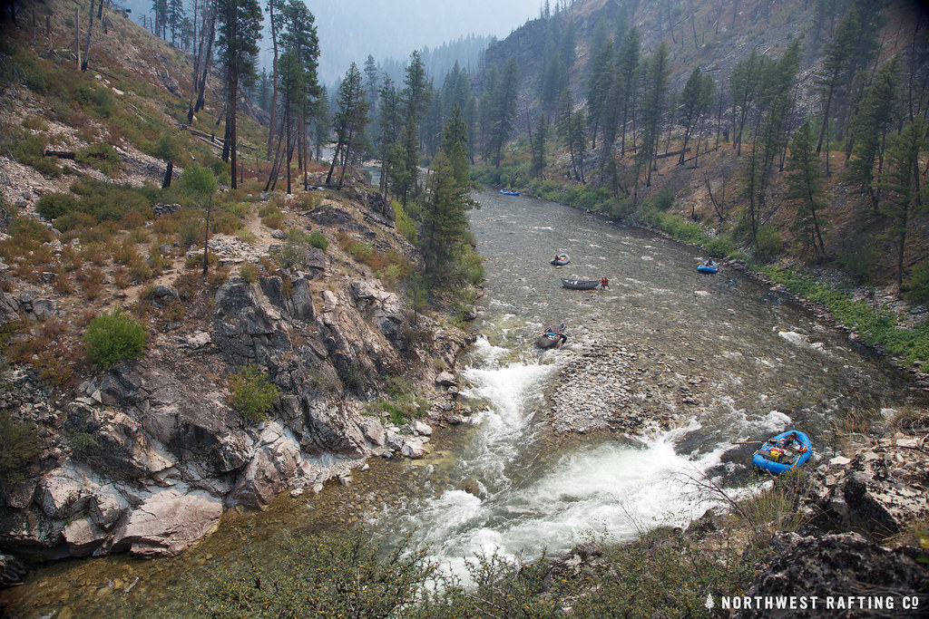 Photo: Northwest Rafting Company, CC BY 2.0 (via Flickr)
Lake Creek
~22 min drive
16.78-mile out-and-back trail in Idaho with 3,270 ft elevation gain.
HIKE
THUNDER MOUNTAIN
~6 min drive
1.84-mile out-and-back trail in Idaho with 389 ft elevation gain and 6,858 ft max elevation.
HIKE
Riordan Lake Trail
~6 min drive
8.84-mile out-and-back hike in Idaho with 1,856 ft elevation gain and loss.
HIKE
Indian Creek
~2 min drive
22.08-mile point-to-point trail in Idaho with 1,353 ft elevation gain.
HIKE
Pistol Lake
~7 min drive
1.75-mile out-and-back trail to Pistol Lake in Idaho with 477 ft gain.
HIKE
Mule Hill
~12 min drive
Mule Hill is a 5.70-mile out-and-back trail in Idaho with 1,981 feet of elevation gain.
HIKE
Thunder Mountain Trail
~6 min drive
4.58-mile out-and-back trail in Idaho with 2,525 ft elevation gain and loss.
HIKE
RIORDAN LAKE
~14 min drive
2.78-mile out-and-back trail to Riordan Lake in Idaho with 923 ft of elevation gain.
HIKE
South Fork Sand Creek Trail
~21 min drive
3.68-mile out-and-back trail in Idaho with 1,042 ft gain/loss.
HIKE
Buck Creek
~8 min drive
Buck Creek is an 11.27-mile out-and-back trail in Idaho with 1784 feet of elevation gain.
