Indian Creek
- 22.1 mi
- one way
- 5,369 ft
- climb
- 8,382 ft
- high point
- Point to point
- route
Is Indian Creek open right now?
Alert in the area
The Forest Service lists an alert for Salmon-Challis National Forest.
Stoddard Bridge Construction Closure
Agency alert covering Salmon-Challis National Forest · Order 0413-07-17 · USFS · Salmon-Challis National Forest
As of · Source: USFS · Salmon-Challis National Forest. Agencies don't list every closure — check before you go.
Indian Creek is a hard hike in Idaho's Frank Church-River of No Return Wilderness, within the Middle Fork Ranger District of the Salmon-Challis National Forest. It is a point-to-point route of about 22 miles, rising from a low of about 4,632 feet to a high of about 8,382 feet with a total gain of about 5,369 feet. The trail is natural-surface and open year-round, and horses are allowed. Bikes are not. The route begins with the steepest stretch, a 29% grade, about 0.37 miles in, and the climb continues to the summit. The trip takes about 10 hours, and the trail is best suited to a long day with a horse or a well-prepared pack. Summit is about a mile away. Thunder Mountain Trail and Riordan Lake Trail are each about 2.8 miles off, and Big Chief is about 4.2 miles away.
Local outfitters
- Black Bear RV Park35 mi away
- Arrowhead RV Park38 mi away
Not on Roamze yet. Their page has how to reach them.
Keep exploring — more trails worth the drive
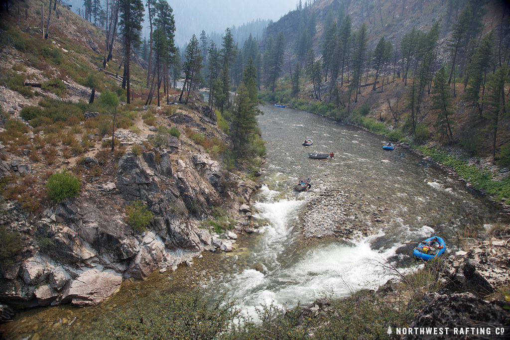 Photo: Northwest Rafting Company, CC BY 2.0 (via Flickr)
Lake Creek
~21 min drive
16.78-mile out-and-back trail in Idaho with 3,270 ft elevation gain.
HIKE
THUNDER MOUNTAIN
~5 min drive
1.84-mile out-and-back trail in Idaho with 389 ft elevation gain and 6,858 ft max elevation.
HIKE
Riordan Lake Trail
~5 min drive
8.84-mile out-and-back hike in Idaho with 1,856 ft elevation gain and loss.
HIKE
Summit
~2 min drive
34.18-mile out-and-back trail in Idaho with 1,604 ft elevation gain.
HIKE
Pistol Lake
~8 min drive
1.75-mile out-and-back trail to Pistol Lake in Idaho with 477 ft gain.
HIKE
MEADOW CREEK
~8 min drive
5.02-mile out-and-back trail in Idaho with 2,323 ft elevation gain and loss.
HIKE
Thunder Mountain Trail
~5 min drive
4.58-mile out-and-back trail in Idaho with 2,525 ft elevation gain and loss.
HIKE
RIORDAN LAKE
~13 min drive
2.78-mile out-and-back trail to Riordan Lake in Idaho with 923 ft of elevation gain.
HIKE
Mule Hill
~10 min drive
Mule Hill is a 5.70-mile out-and-back trail in Idaho with 1,981 feet of elevation gain.
HIKE
Big Chief
~7 min drive
10.09-mile out-and-back trail in Idaho with 349 ft gain and 2,446 ft loss.
