Square Top
- 2.0 mi
- round trip
- 264 ft
- climb
- 8,121 ft
- high point
- Out and back
- route
Is Square Top open right now?
Closure in the area
There's a closure order in Boise National Forest. It doesn't name Square Top, so check the source for the area it covers.
UPDATED Sept. 19 - Crooked Fire Area, Road, and Trail Closure
Agency closure covering Boise National Forest · Order 0402-03-140 · USFS · Boise National Forest
Lava Fire Road Closure
Agency alert covering Boise National Forest · Order 0402-06-84 · USFS · Boise National Forest
As of · Source: USFS · Boise National Forest. Agencies don't list every closure — check before you go.
Square Top is an easy, out-and-back hike in Idaho's Boise National Forest, within the Cascade Ranger District. The trail is about 2 miles long, with a total elevation gain of 264 feet, and it rises from a low point of 7,849 feet to a high of 8,121 feet. The route is open year-round, and the Forest Service manages the land. The trail is natural-surfaced, and both horses and bikes are allowed. The climb is gentle, and the route works well for a short outing. The nearby Pins And Needles (McCall Area) climbing area is about 1.8 miles away, and the Needles Route and Needles Summit hikes are within about 3 miles. Kennally Creek Campground, about 4 miles off, offers a place to stay.
Local outfitters
- Black Bear RV Park17 mi away
- Arrowhead RV Park20 mi away
Not on Roamze yet. Their page has how to reach them.
- Pins And Needles (McCall Area)Rock climbing1.8 mi
- Needles RouteHiking2.2 mi
- Needles SummitHiking3.1 mi
- TerrapinRock climbing3.2 mi
- Kennally Creek CampgroundCamping4 mi
- North Fork Gold Fork RiverCanoeing5.1 mi
- Rapid Creek DispersedCamping6.8 mi
- Rapid CreekCanoeing7.1 mi
Source: Roamze catalog (indexable pages within 10 miles, PostGIS distance)
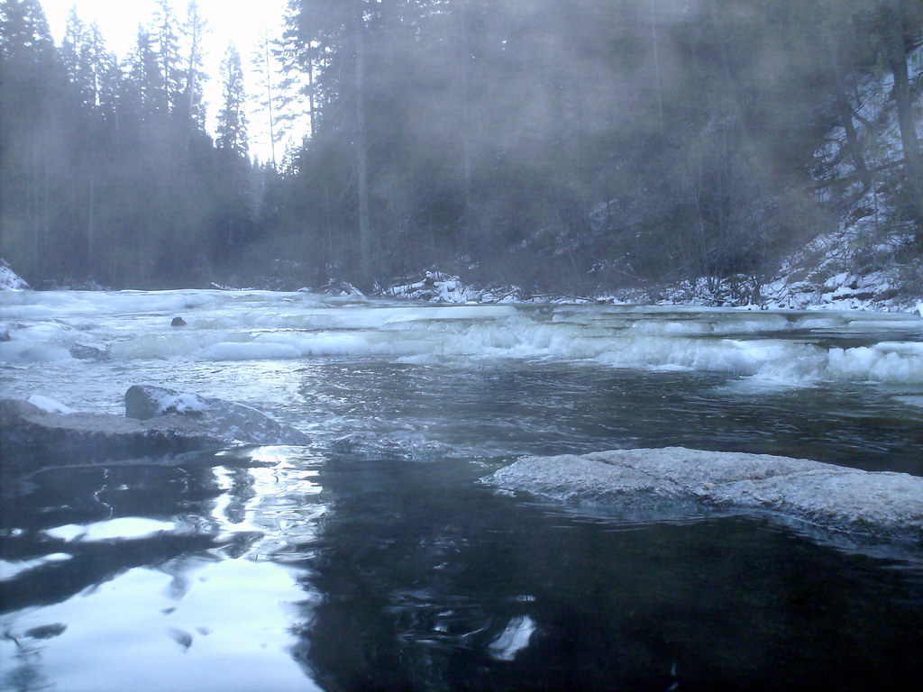 Dollar Creek RidgeHiking · ~10 min drivePhoto: Stupid Dingo, CC BY 2.0 (via Flickr)
- Nickel CreekHiking · ~10 min drivePhoto: Stupid Dingo, CC BY 2.0 (via Flickr)
- EAST FORK KENNALLY CREEKHiking · ~6 min drive
- Needles Route Pack TrailHiking · ~12 min drive
- Needles RouteHiking · ~4 min drive
- Poverty Overlook InterpretiveHiking · ~11 min drive
- GREEN MOUNTAINHiking · ~11 min drive
- BLACKMARE CREEKHiking · ~12 min drive
- Needles SummitHiking · ~5 min drive
- Fogg LakeHiking · ~14 min drive
Also worth it near here
- Pins And Needles (McCall Area)Rock climbing · ~3 min drive
- Penny Spring CampgroundCamping · ~11 min drive
- Big Creek SummitMountain biking · ~12 min drive
- Paddy Flat Cabin WestHut camping · ~13 min drive
 South Fork Salmon RiverCanoeing · ~13 min drivePhoto: Zachary Collier, CC BY 2.0 (via Wikimedia Commons)
