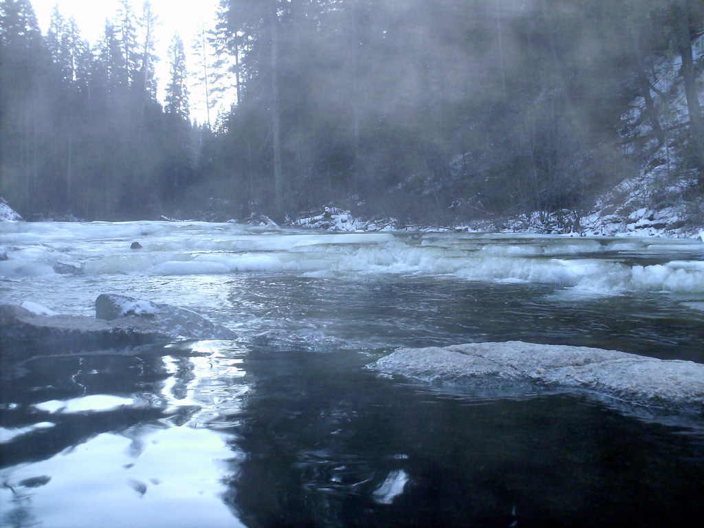
Terrapin
Terrapin is an Idaho climbing crag with 18 routes spanning 9 difficulty grades, offering sport and trad options.
- 18 routes
- 5.7 – 5.11d
- Sport · Trad
Is Terrapin open right now?
Closure in the area
There's a closure order in Boise National Forest. It doesn't name Terrapin, so check the source for the area it covers.
UPDATED Sept. 19 - Crooked Fire Area, Road, and Trail Closure
Agency closure covering Boise National Forest · Order 0402-03-140 · USFS · Boise National Forest
Lava Fire Road Closure
Agency alert covering Boise National Forest · Order 0402-06-84 · USFS · Boise National Forest
As of · Source: USFS · Boise National Forest. Agencies don't list every closure — check before you go.
Best time to visit Terrapin
Best months: June–September. Best months have typical highs of 55–85 °F, lows of 30 °F or warmer (32 °F where the station doesn't record snow), at most one snowy day and no more than 12 wet days.
Jan
35° / 8°
Feb
36° / 12°
Mar
42° / 16°
Apr
49° / 22°
May
61° / 30°
Jun
70° / 35°
Jul
82° / 40°
Aug
81° / 38°
Sep
73° / 32°
Oct
57° / 26°
Nov
40° / 16°
Dec
31° / 9°
Typical high / low (°F) and days with rain or snow, 1991–2020. Measured at Deadwood Lodge, ID, 23.3 mi away at 5,948 ft. The station sits about 1,000 ft lower than this place, so expect it a little cooler here. This station doesn't record snowfall. Source: NOAA NCEI U.S. Climate Normals 1991–2020.
Terrapin is a climbing area in Idaho's Boise National Forest, within the Cascade Ranger District. The Forest Service manages the land, and the area sits among a cluster of climbing spots in the McCall region. The climbing here is sport-based, with 15 sport routes and 3 trad routes. Grades run from 5.7 up to 5.11d, with the median around 5.9. Some of the named routes include Lickety Split at 5.7, Franklin's Tower at 5.8-, and Harvest Winds at 5.11d. Summer is the most comfortable time to climb. Typical averages from a nearby weather station at Deadwood Lodge, which sits about 950 feet lower than the area, show July highs around 82°F with lows near 40°F. Winter is cold, with January highs around 35°F and lows near 8°F. The Pins and Pins And Needles (McCall Area) are both within about 2 miles. Kennally Creek Campground is about 3.4 miles away, and the North Fork Gold Fork River offers paddling about 2.9 miles off.
Routes (18)
Keep exploring — more climbs worth the drive
The Pins
~2 min drive
The Pins is a climbing area in Idaho with 2 routes.
Pins And Needles (McCall Area)
~3 min drive
Pins And Needles (McCall Area) is a climbing crag in Idaho with 1 route.
Jug Handle Bouldering
~16 min drive
Jug Handle Bouldering in Idaho has 10 routes across 8 grades.
Baby Problems
~24 min drive
Baby Problems is an Idaho climbing crag with 5 routes ranging across 5 difficulty grades, offering mixed, sport, and trad styles.
McCall Area
~28 min drive
McCall Area in Idaho offers 5 climbing routes with mixed sport and trad styles.
The Thinking Spot
~36 min drive
Thinking Spot, The in Idaho has 21 climbing routes across 11 grades.
West Idaho
~59 min drive
West Idaho, Idaho has 16 climbing routes.
Manning Crevice Bridge Area
~1h 22m drive
Manning Crevice Bridge Area in Idaho offers 9 climbing routes across 6 difficulty grades, featuring bouldering pads, sport, and trad.