Spring Board Trail
- 0.4 mi
- round trip
- 56 ft
- climb
- 5,041 ft
- high point
- Out and back
- route
- Jun–Sep
- best months
Spring Board Trail is an easy hike in Ponderosa State Park in Idaho, managed by State Park and Recreation. The trail is short and low, with a total round-trip distance of about 0.8 miles and a total elevation gain of about 56 feet, making it a quick outing for anyone spending time in the park. The trail is an out-and-back, starting at about 5,029 feet and reaching a high point of about 5,041 feet. It is mostly flat, with the steepest part at about 0.35 miles in, where the grade reaches about 3 percent. The entire trip takes about half an hour. Summer is the most comfortable time to go. Typical averages from a nearby weather station at McCall show July and August highs around 81°F with only about four wet days a month, while winter highs stay near freezing. That station sits at about the same elevation as the trail, so temperatures here run roughly similar. The Thinking Spot, a climbing area, is about 0.3 miles away. Mountain bikers can head to Upper Rim, about 2.2 miles off, or Payette Rim, about 2.7 miles away. Paddlers will find the North Fork Payette River about 5 miles from the trail.
Local outfitters
- Black Bear RV Park8 mi away
- Arrowhead RV Park34 mi away
Not on Roamze yet. Their page has how to reach them.
- The Thinking SpotRock climbing0.3 mi
- Upper RimMountain biking2.2 mi
- Payette RimMountain biking2.7 mi
- McCall AreaRock climbing4.6 mi
 North Fork Payette RiverCanoeingPhoto: Mll1013, Public domain (via Wikimedia Commons)5 mi
- Goose CreekCanoeing5.7 mi
- Last ChanceCamping6.4 mi
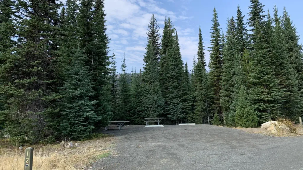 Grouse CampgroundCampingPhoto: Recreation.gov (RIDB) / public domain7 mi
Source: Roamze catalog (indexable pages within 10 miles, PostGIS distance)
 Ridgeline TrailHiking · ~6 min drivePhoto: waterarchives, CC BY-SA 2.0 (via Flickr)
- Lakeview VistaHiking · ~6 min drive
- Fall Creek LoopHiking · ~7 min drive
- Crestline TrailHiking · ~7 min drive
 Peninsula TrailHiking · ~8 min drivePhoto: Stupid Dingo, CC BY 2.0 (via Flickr)
- Huckleberry LoopHiking · ~7 min drive
- Brundage-Bear BasinHiking · ~10 min drive
- Goose Creek TrailHiking · ~8 min drive
- BOX LAKEHiking · ~7 min drive
- National Forest Development 104 Pack TrailHiking · ~10 min drive
Best time to visit Spring Board Trail
Best months: June–September. Best months have typical highs of 55–85 °F, lows of 30 °F or warmer (32 °F where the station doesn't record snow), at most one snowy day and no more than 12 wet days.
Jan
31° / 13°
15 wet
Feb
35° / 15°
13 wet
Mar
42° / 21°
16 wet
Apr
50° / 28°
13 wet
May
61° / 36°
13 wet
Jun
69° / 42°
10 wet
Jul
81° / 47°
4 wet
Aug
81° / 45°
4 wet
Sep
71° / 38°
6 wet
Oct
56° / 29°
9 wet
Nov
40° / 21°
13 wet
Dec
30° / 14°
15 wet
Typical high / low (°F) and days with rain or snow, 1991–2020. Measured at Mccall Ap, ID, 7.9 mi away at 5,013 ft. This station doesn't record snowfall. Source: NOAA NCEI U.S. Climate Normals 1991–2020.
Map and trail data © OpenStreetMap contributors
