Fall Creek Loop
- 11.6 mi
- round trip
- 1,034 ft
- climb
- 6,579 ft
- high point
- Out and back
- route
- Jun–Sep
- best months
Fall Creek Loop is a hard hike in Idaho, an out-and-back route of about 11.6 miles with a total elevation gain of 1,034 feet. It rises from a low point of about 5,534 feet to a high of about 6,579 feet, and the State Department of Land manages the land. The trail is natural-surfaced and open year-round. Bikes and horses are allowed, and the trail is not accessible. Summer is the most comfortable time to go. Typical averages from a nearby weather station at McCall show July and August highs around 81°F with only about four wet days a month, while winter highs stay near freezing. The McCall Area climbing area is about half a mile away, and the Crestline Trail and Huckleberry Loop are both within about 2 miles. Lake Fork campground is about 4.5 miles off.
Local outfitters
- Black Bear RV Park5 mi away
- Arrowhead RV Park30 mi away
Not on Roamze yet. Their page has how to reach them.
Best time to go · Jun–Sep
Best time to visit Fall Creek Loop
Best months: June–September. Best months have typical highs of 55–85 °F, lows of 30 °F or warmer (32 °F where the station doesn't record snow), at most one snowy day and no more than 12 wet days.
Jan
31° / 13°
15 wet
Feb
35° / 15°
13 wet
Mar
42° / 21°
16 wet
Apr
50° / 28°
13 wet
May
61° / 36°
13 wet
Jun
69° / 42°
10 wet
Jul
81° / 47°
4 wet
Aug
81° / 45°
4 wet
Sep
71° / 38°
6 wet
Oct
56° / 29°
9 wet
Nov
40° / 21°
13 wet
Dec
30° / 14°
15 wet
Typical high / low (°F) and days with rain or snow, 1991–2020. Measured at Mccall Ap, ID, 5.1 mi away at 5,013 ft. The station sits about 1,600 ft lower than this place, so expect it a little cooler here. This station doesn't record snowfall. Source: NOAA NCEI U.S. Climate Normals 1991–2020.
Keep exploring — more trails worth the drive
 Photo: waterarchives, CC BY-SA 2.0 (via Flickr)
Ridgeline Trail
~4 min drive
0.90-mile lollipop trail in Idaho with 230 ft elevation gain.
HIKE
Huckleberry Loop
~3 min drive
7.32-mile out-and-back trail in Idaho with 2,207 ft elevation gain
HIKE
Fall Creek Trail
~7 min drive
11.72-mile out-and-back trail in Idaho with 4,775 ft elevation gain and loss.
HIKE
National Forest Development 104 Pack
~10 min drive
22.66-mile out-and-back trail in Idaho with 1,281 ft gain.
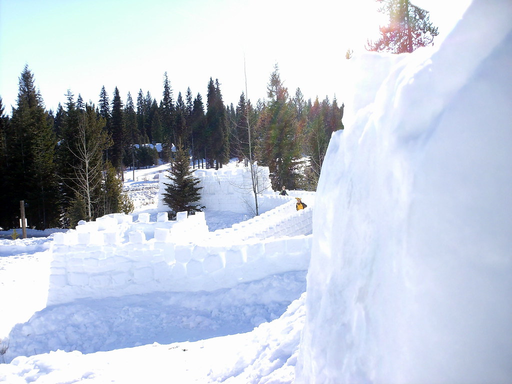 Photo: Stupid Dingo, CC BY 2.0 (via Flickr)
Peninsula Trail
~5 min drive
0.78-mile out-and-back hike in Idaho with 110 ft of elevation gain.
HIKE
Fall Creek Saddle
~7 min drive
1.97-mile out-and-back trail at Fall Creek Saddle in Idaho with 110 ft elevation gain.
HIKE
Crestline Trail
~2 min drive
22.32-mile out-and-back hike in Idaho with 5,455 ft gain/loss, max 7,853 ft
HIKE
Brundage-Bear Basin
~10 min drive
12.49-mile out-and-back trail in Idaho with 1,647 ft elevation gain.
HIKE
Lilly Marsh Trail
~4 min drive
1.54-mile out-and-back trail in Idaho with 355 ft elevation gain
HIKE
National Forest Development 104 Pack Trail
~10 min drive
4.14-mile out-and-back trail in Idaho with 2,350 ft elevation gain and loss.
Also worth it near here
