South Fork/Rash Canyon
- 2.3 mi
- round trip
- 1,194 ft
- climb
- 6,842 ft
- high point
- Out and back
- route
- Jun–Sep
- best months
Is SOUTH FORK/RASH CANYON open right now?
No closures listed
The Forest Service lists no closures for Caribou-Targhee National Forest.
As of · Source: USFS · Caribou-Targhee National Forest. Agencies don't list every closure — check before you go.
South Fork/Rash Canyon is a moderate out-and-back hike in Idaho's Caribou-Targhee National Forest, within the Palisades Ranger District. The trail is about 4.5 miles long, with a total elevation gain of 1,194 feet, and it starts at 6,168 feet, rising to a high point of 6,842 feet. The climb is front-loaded, with the steepest stretch at the start, where the grade reaches about 15 percent. Summer is the most comfortable time to go. Typical averages from a nearby weather station in Swan Valley show July highs around 85°F with lows near 46°F, and September cools to highs around 75°F. That station sits well below the trail, so temperatures on the route run cooler. The hike takes about two hours. South Fork Fall Creek lies just 0.1 mile away, and the Fourth of July Ridge Trail is about 1.8 miles off. Falls Campground is about 5.7 miles away, and the South Fork of the Snake River: Conant Boat Access is about 6.5 miles away.
Local outfitters
- Greys River Cove24 mi away
- The Virginian RV Park33 mi away
Not on Roamze yet. Their page has how to reach them.
- SOUTH FORK FALL CREEKHiking0.1 mi
- Fourth of July Ridge TrailHiking1.8 mi
- Falls CampgroundCamping5.7 mi
- South Fork of the Snake River: Conant Boat AccessRiver fishing6.5 mi
- Bear CreekCanoeing7.2 mi
- Palisades CreekRock climbing9.5 mi
- Weeping CaveRock climbing9.6 mi
- CalamityCamping9.8 mi
Source: Roamze catalog (indexable pages within 10 miles, PostGIS distance)
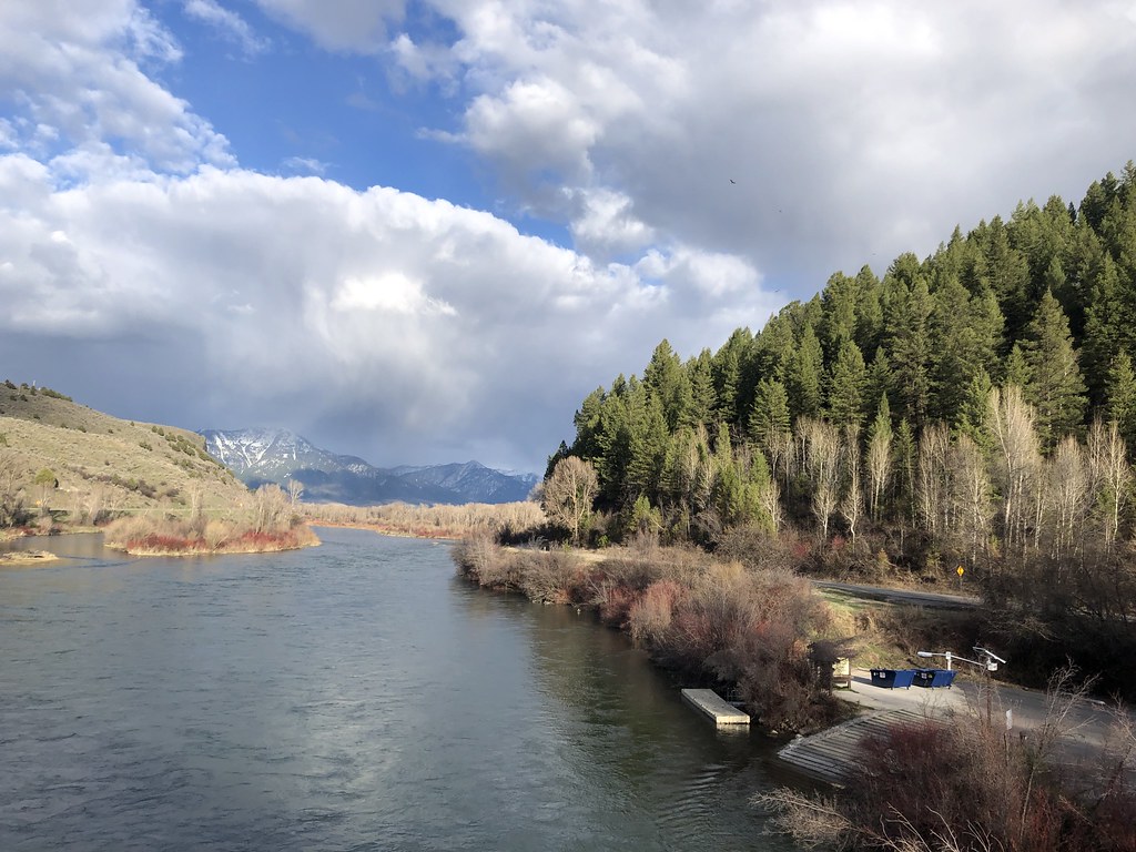 ECHO/INDIAN CREEKHiking · ~9 min drivePhoto: Rainhead, CC BY-SA 2.0 (via Flickr)
- NORTH FORK BEAR CREEK BY-PASSHiking · ~4 min drive
- North Fork Bear Creek TrailHiking · ~4 min drive
- RED RIDGEHiking · ~7 min drive
- Fourth of July Ridge TrailHiking · ~3 min drive
- Red Ridge RepeaterHiking · ~7 min drive
- Fourth of July/Red Ridge TrailHiking · ~7 min drive
- Bear Creek/Sheep TrailHiking · ~8 min drive
- WILLOW SPRINGS/BEAVER CREEKHiking · ~3 min drive
- PORCUPINE CREEKHiking · ~8 min drive
Best time to visit SOUTH FORK/RASH CANYON
Best months: June–September. Best months have typical highs of 55–85 °F, lows of 30 °F or warmer (32 °F where the station doesn't record snow), at most one snowy day and no more than 12 wet days.
Jan
30° / 11°
10 wet
Feb
35° / 14°
9 wet
Mar
45° / 22°
10 wet
Apr
56° / 27°
12 wet
May
66° / 35°
13 wet
Jun
75° / 41°
10 wet
Jul
85° / 46°
8 wet
Aug
84° / 44°
8 wet
Sep
75° / 37°
8 wet
Oct
59° / 29°
8 wet
Nov
43° / 20°
9 wet
Dec
32° / 12°
9 wet
Typical high / low (°F) and days with rain or snow, 1991–2020. Measured at Swan Valley, ID, 8.4 mi away at 5,397 ft. The station sits about 1,400 ft lower than this place, so expect it a little cooler here. This station doesn't record snowfall. Source: NOAA NCEI U.S. Climate Normals 1991–2020.
