Fourth of July/Red Ridge Trail
- 6.3 mi
- round trip
- 3,975 ft
- climb
- 8,123 ft
- high point
- Out and back
- route
Is Fourth of July/Red Ridge Trail open right now?
No closures listed
The Forest Service lists no closures for Caribou-Targhee National Forest.
As of · Source: USFS · Caribou-Targhee National Forest. Agencies don't list every closure — check before you go.
Fourth of July/Red Ridge Trail is a hard out-and-back hike in Idaho's Caribou-Targhee National Forest, within the Palisades Ranger District. The route starts at about 8,000 feet, climbs to a high point of 8,123 feet, and descends back to the starting elevation, making the total gain and loss each about 3,975 feet over roughly 12.7 miles. The steepest stretch comes at about 4.5 miles in, where the grade reaches 33%. The trail is managed by the Forest Service. Plan for a full day on foot, with the estimated time around six hours. The climb is steady rather than broken into distinct sections, and the high point sits near 8,100 feet, so expect the top of the route to feel more like a summit than a turnaround. The Red Ridge Repeater and Red Ridge hikes both lie within about a mile of the trail, making it easy to string multiple outings together. For time off the trail, Bear Creek offers canoeing about 5.6 miles away and the Calamity campground is about 5.7 miles out.
Local outfitters
- Greys River Cove20 mi away
- The Virginian RV Park29 mi away
Not on Roamze yet. Their page has how to reach them.
- Red Ridge RepeaterHiking0.3 mi
- RED RIDGEHiking1 mi
- Bear CreekCanoeing5.6 mi
- CalamityCamping5.7 mi
- Palisades CreekRock climbing6 mi
- Riverside Park Cg &Day Use AreaCamping6.1 mi
- Weeping CaveRock climbing6.2 mi
- South Fork of the Snake River: Conant Boat AccessRiver fishing8 mi
Source: Roamze catalog (indexable pages within 10 miles, PostGIS distance)
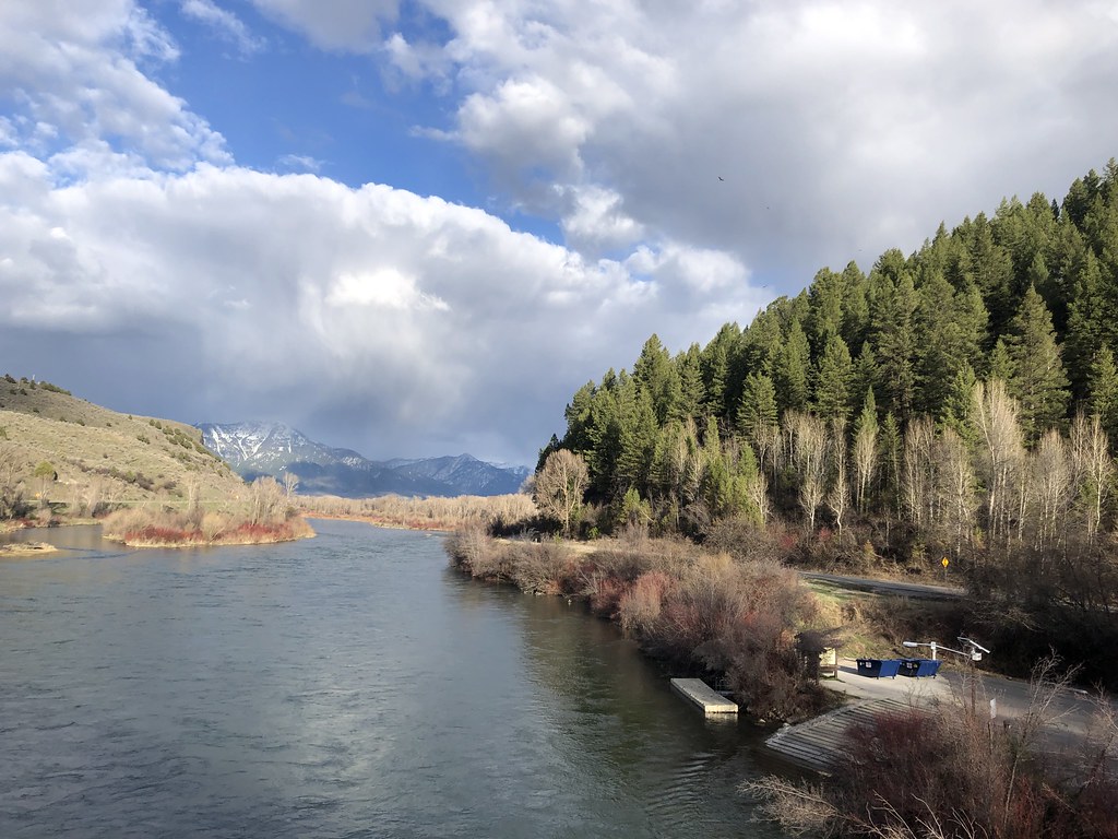 ECHO/INDIAN CREEKHiking · ~12 min drivePhoto: Rainhead, CC BY-SA 2.0 (via Flickr)
- Red Ridge RepeaterHiking · Next door
- RED RIDGEHiking · ~2 min drive
- North Fork Bear Creek TrailHiking · ~4 min drive
- INDIAN CREEKHiking · ~4 min drive
- NORTH FORK BEAR CREEK BY-PASSHiking · ~5 min drive
- Red Ridge TrailHiking · ~2 min drive
- NORTH FORK BEAR CREEKHiking · ~7 min drive
- SOUTH FORK FALL CREEKHiking · ~7 min drive
- Indian CreekHiking · ~7 min drive
Map and trail data © OpenStreetMap contributors
