Red Ridge Trail
- 11.0 mi
- round trip
- 6,603 ft
- climb
- 8,719 ft
- high point
- Out and back
- route
Caution at last check
Agency alerts are in effect for this area; weather is marginal · USFS, OpenWeather · checked 12 h ago
Is Red Ridge Trail open right now?
No closures listed
The Forest Service lists no closures for Caribou-Targhee National Forest.
As of · Source: USFS · Caribou-Targhee National Forest. Agencies don't list every closure — check before you go.
Red Ridge Trail is an expert-level hike in Idaho's Caribou-Targhee National Forest, within the Palisades Ranger District. The Forest Service manages the land, and the trail is an out-and-back route that starts at about 6,921 feet and climbs to a high point of 8,719 feet. The trail is about 22 miles long, with a total elevation gain of 6,603 feet. The climb is steady, and the steepest stretch comes at about 1.1 miles in, where the grade reaches 34%. The route is rated expert, so plan for a long, challenging day. The Red Ridge hike lies about 0.2 miles away, and the Fourth of July/Red Ridge Trail is about 1.2 miles off. Falls Campground and the Palisades Creek climbing area are both within about 5.5 miles.
Local outfitters
- Greys River Cove21 mi away
- The Virginian RV Park28 mi away
Not on Roamze yet. Their page has how to reach them.
- RED RIDGEHiking0.2 mi
- Fourth of July/Red Ridge TrailHiking1.2 mi
- Falls CampgroundCamping5.2 mi
- Palisades CreekRock climbing5.4 mi
- Weeping CaveRock climbing5.5 mi
- CalamityCamping6 mi
- Bear CreekCanoeing6.8 mi
- South Fork of the Snake River: Conant Boat AccessRiver fishing7.1 mi
Source: Roamze catalog (indexable pages within 10 miles, PostGIS distance)
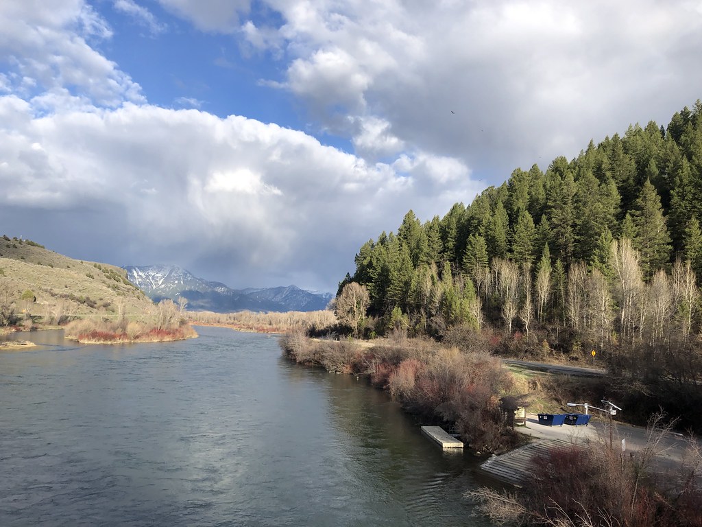 ECHO/INDIAN CREEKHiking · ~11 min drivePhoto: Rainhead, CC BY-SA 2.0 (via Flickr)
- RED RIDGEHiking · Next door
- Red Ridge RepeaterHiking · ~2 min drive
- North Fork Bear Creek TrailHiking · ~5 min drive
- INDIAN CREEKHiking · ~2 min drive
- Bear Creek/Sheep TrailHiking · ~10 min drive
- Indian CreekHiking · ~5 min drive
- DEADHORSE RIDGEHiking · ~8 min drive
- SOUTH FORK FALL CREEKHiking · ~7 min drive
- SOUTH FORK BEAR CREEKHiking · ~9 min drive
Map and trail data © OpenStreetMap contributors
