North Rowley Canyon
- 1.7 mi
- round trip
- 822 ft
- climb
- 6,655 ft
- high point
- Out and back
- route
- May–Oct
- best months
Is North Rowley Canyon open right now?
No closures listed
The Forest Service lists no closures for Caribou-Targhee National Forest.
As of · Source: USFS · Caribou-Targhee National Forest. Agencies don't list every closure — check before you go.
North Rowley Canyon is a moderate out-and-back hike in Idaho's Caribou-Targhee National Forest, within the Westside Ranger District. The trail is about 1.7 miles long, with an elevation gain of 822 feet from a low point of 5,840 feet to a high of 6,655 feet. The Forest Service manages the land. The route is natural-surface and open to both horses and bikes, and it is not an accessible trail. It works well as a short outing or as a link between other trails in the area. Summer is the most comfortable time to go. Typical averages from a nearby weather station in Grace, Idaho, show July highs around 85°F with lows near 50°F, and the station sits about 1,100 feet lower than the canyon's high point, so temperatures up top run cooler. Several other trails start close by. Big Creek to Rowley is about 0.3 miles away, and Rowley Canyon is about 1.1 miles away. For an overnight stay, Malad Summit Campground is about 3 miles off.
- BIG CREEK TO ROWLEYHiking0.3 mi
- ROWLEY TO BIG CREEK CONNECTORHiking0.7 mi
- ROWLEY CANYONHiking1.1 mi
- BIG CREEK TO POTTER CREEKHiking1.7 mi
- Malad Summit Guard StationCamping2.8 mi
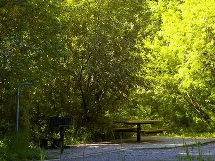 Malad Summit CampgroundCampingPhoto: Recreation.gov (RIDB) / public domain3 mi
- Wright CreekCanoeing7.4 mi
- Hawkins Reservoir CampgroundCamping9.2 mi
Source: Roamze catalog (indexable pages within 10 miles, PostGIS distance)
 Cherry Creek-Curly JackHiking · ~11 min drivePhoto: makhtuz, CC BY 3.0 (via Wikimedia Commons)
- REED CANYON CONNECTORHiking · ~4 min drive
- North Elkhorn RidgeHiking · ~5 min drive
- WRIGHT CREEK NAT. RECREATION THiking · ~5 min drive
- WEST WAKELY PEAKHiking · ~5 min drive
- SUMMIT TO ROWLEY CANYONHiking · ~5 min drive
- EAST FORK OF WRIGHT CREEKHiking · ~7 min drive
- South WakelyHiking · ~6 min drive
- SUMMIT TO STATION CANYONHiking · ~5 min drive
- Wursten Springs Cut-OffHiking · ~7 min drive
Best time to visit North Rowley Canyon
Best months: May–October. Best months have typical highs of 55–85 °F, lows of 30 °F or warmer (32 °F where the station doesn't record snow), at most one snowy day and no more than 12 wet days.
Jan
31° / 13°
9 wet
Feb
34° / 16°
9 wet
Mar
44° / 24°
10 wet
Apr
54° / 31°
10 wet
May
64° / 38°
11 wet
Jun
74° / 44°
7 wet
Jul
85° / 50°
5 wet
Aug
84° / 48°
6 wet
Sep
73° / 41°
6 wet
Oct
59° / 32°
7 wet
Nov
43° / 23°
8 wet
Dec
32° / 14°
10 wet
Typical high / low (°F) and days with rain or snow, 1991–2020. Measured at Grace, ID, 30.2 mi away at 5,550 ft. The station sits about 1,100 ft lower than this place, so expect it a little cooler here. This station doesn't record snowfall. Source: NOAA NCEI U.S. Climate Normals 1991–2020.
