Wright Creek Nat. Recreation T
- 7.2 mi
- round trip
- 4,577 ft
- climb
- 8,307 ft
- high point
- Out and back
- route
Is WRIGHT CREEK NAT. RECREATION T open right now?
No closures listed
The Forest Service lists no closures for Caribou-Targhee National Forest.
As of · Source: USFS · Caribou-Targhee National Forest. Agencies don't list every closure — check before you go.
Wright Creek National Recreation Trail is an out-and-back hike in Idaho's Caribou-Targhee National Forest, within the Westside Ranger District. The Forest Service manages the land, and the route is rated expert. It covers about 14.4 miles, with a total elevation gain and loss of roughly 4,577 feet each way, which makes the round trip about 9,154 feet of climbing and descending. The climb is front-loaded, with the steepest section at about 6 miles, where the trail reaches a grade of about 24%. The high point is 8,307 feet, and the trail begins and ends at about 6,089 feet. The trip takes about seven hours to complete. The trail starts close to several other destinations. The Summit to Rowley Canyon and Summit to Station Canyon hikes are within half a mile, and Malad Summit Campground and Malad Summit Guard Station sit about 0.2 to 0.5 miles away. For paddling, Wright Creek lies about 7.5 miles away.
- SUMMIT TO ROWLEY CANYONHiking0.1 mi
- Malad Summit Guard StationCamping0.2 mi
- SUMMIT TO STATION CANYONHiking0.4 mi
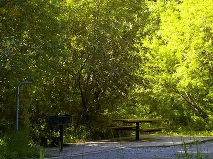 Malad Summit CampgroundCampingPhoto: Recreation.gov (RIDB) / public domain0.5 mi
- SOUTH CANYON LOOPHiking0.8 mi
- MILL CANYONHiking1.4 mi
- Wright CreekCanoeing7.5 mi
- Little Malad RiverCanoeing9.3 mi
Source: Roamze catalog (indexable pages within 10 miles, PostGIS distance)
 Cherry Creek-Curly JackHiking · ~8 min drivePhoto: makhtuz, CC BY 3.0 (via Wikimedia Commons)
- SUMMIT TO ROWLEY CANYONHiking · Next door
- North Elkhorn RidgeHiking · ~4 min drive
- SOUTH CANYON LOOPHiking · ~1 min drive
- SUMMIT TO STATION CANYONHiking · Next door
- OLD CANYON-STATION CANYON CONHiking · ~5 min drive
- MILL CANYONHiking · ~2 min drive
- North Rowley CanyonHiking · ~5 min drive
- OLD CANYONHiking · ~7 min drive
- ROWLEY TO BIG CREEK CONNECTORHiking · ~4 min drive
