Wakley Peak
- 8,801 ft
- summit
- 1
- way up
Is Wakley Peak open right now?
No closures listed
The Forest Service lists no closures for Caribou-Targhee National Forest.
As of · Source: USFS · Caribou-Targhee National Forest. Agencies don't list every closure — check before you go.
Wakley Peak is a summit in the Westside Ranger District of Caribou-Targhee National Forest in southeastern Idaho, about 9 miles from the town of Downey. The peak sits among a cluster of trails and camping spots, which makes it a practical base for exploring this corner of the forest. Trails start close by. Reed Canyon Connector is about a mile away, and West Wakely Peak is about 1.2 miles off. For overnight stays, Malad Summit Campground lies roughly 3 miles away, and Hawkins Reservoir Campground is about 8 miles out.
Conditions and forecast
Daily highs and lows, wind and the chance of precipitation at the summit and route start for the next 7 days, from the Open-Meteo model.
- Summit elevation
- 8,801 ft
Elevation from USGS 3D Elevation Program terrain data (about 10 m resolution).
Map © Mapbox © OpenStreetMap contributors Questions about Wakley Peak
How tall is Wakley Peak?
8,801 ft (2,683 m).
How many routes go to the summit of Wakley Peak?
One: South Wakely.
When is the best time to climb Wakley Peak?
Year-round.
- Scout Mountain8,700 ft · Idaho1 route20 mi away
- Haystack Mountain9,027 ft · Idaho1 route24 mi away
- Bonneville Peak9,265 ft · Idaho1 route27 mi away
 Clarkston Mountain7,997 ft · Utah1 route33 mi awayPhoto: GreenGlass1972, Public domain (via Wikimedia Commons)
- Midnight Mountain9,332 ft · Idaho1 route38 mi away
- Sulphur Peak8,305 ft · Idaho1 route47 mi away
- REED CANYON CONNECTORHiking1 mi
- WEST WAKELY PEAKHiking1.2 mi
- BIG CREEK TO POTTER CREEKHiking1.4 mi
- North Elkhorn RidgeHiking1.7 mi
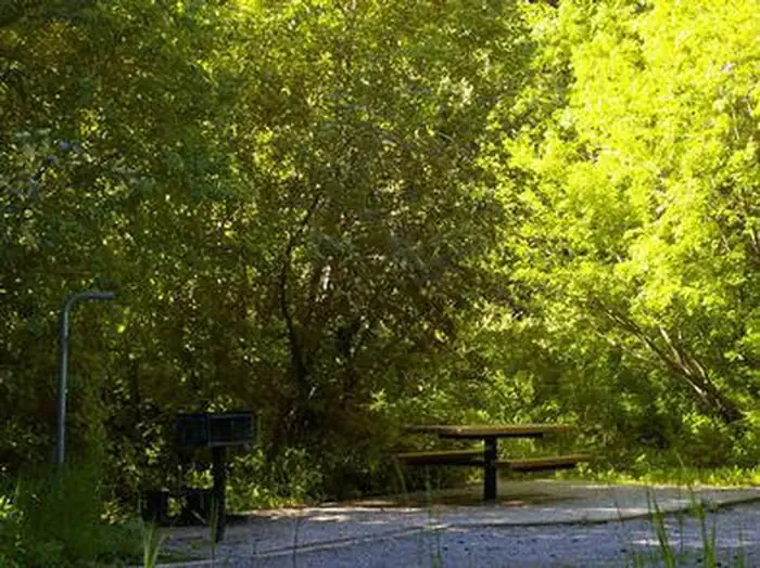 Malad Summit CampgroundCampingPhoto: Recreation.gov (RIDB) / public domain3.2 mi
- Malad Summit Guard StationCamping3.4 mi
- Wright CreekCanoeing5.6 mi
- Hawkins Reservoir CampgroundCamping8.3 mi
Source: Roamze catalog (indexable pages within 10 miles, PostGIS distance)
- Clarkston MountainSummit · ~57 min drivePhoto: GreenGlass1972, Public domain (via Wikimedia Commons)
- Gunsight PeakSummit · ~58 min drivePhoto: GreenGlass1972, Public domain (via Wikimedia Commons)
 Point Lookout MountainsSummit · ~1h 17m drivePhoto: Chris Light, CC BY-SA 4.0 (via Wikimedia Commons)
 Engineer MountainSummit · ~1h 26m drivePhoto: Chris Light, CC BY-SA 4.0 (via Wikimedia Commons)
 Stone HillsSummit · ~1h 3m drivePhoto: Chris Light, CC BY-SA 4.0 (via Wikimedia Commons)
- Scout MountainSummit · ~34 min drive
- Haystack MountainSummit · ~41 min drive
- Bonneville PeakSummit · ~45 min drive
- Midnight MountainSummit · ~1h 5m drive
- Sulphur PeakSummit · ~1h 21m drive

