South Wakely
- 5.7 mi
- round trip
- 1,726 ft
- climb
- 8,795 ft
- high point
- Out and back
- route
Is South Wakely open right now?
No closures listed
The Forest Service lists no closures for Caribou-Targhee National Forest.
As of · Source: USFS · Caribou-Targhee National Forest. Agencies don't list every closure — check before you go.
South Wakely is a hard hike in the Westside Ranger District of Idaho's Caribou-Targhee National Forest, about 5.7 miles long with a one-way elevation gain of 1,726 feet. The trail starts at about 6,854 feet and climbs to about 8,795 feet, so plan for a steep out-and-back. The Forest Service manages the land, and the trail is natural-surface. Bikes and horses are allowed, and it is not an accessible route. Several other destinations sit within a few miles. Wursten Springs Cut-Off is about 0.9 miles away, South Fork Springs about 1.3 miles, and West Wakely Peak about 1.6 miles. For an overnight stay, Malad Summit Campground is about 5.3 miles off.
Conditions and forecast on Wakley Peak
Daily highs and lows, wind and the chance of precipitation at the summit and route start for the next 7 days, from the Open-Meteo model.
- Wursten Springs Cut-OffHiking0.9 mi
- South Fork SpringsHiking1.3 mi
- WEST WAKELY PEAKHiking1.6 mi
- North Wright CreekHiking1.7 mi
- Wright CreekCanoeing5.2 mi
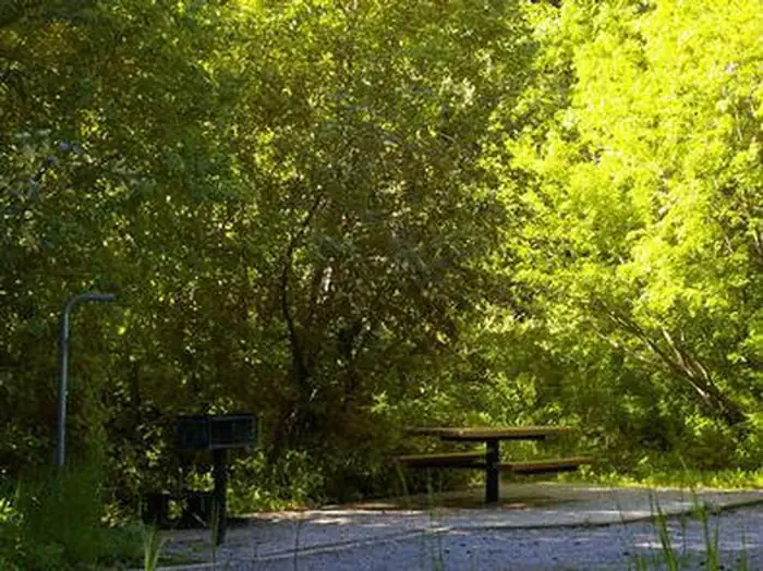 Malad Summit CampgroundCampingPhoto: Recreation.gov (RIDB) / public domain5.3 mi
- Malad Summit Guard StationCamping5.4 mi
- Hawkins Reservoir CampgroundCamping6.2 mi
Source: Roamze catalog (indexable pages within 10 miles, PostGIS distance)
 Cherry Creek-Curly JackHiking · ~16 min drivePhoto: makhtuz, CC BY 3.0 (via Wikimedia Commons)
- EAST FORK OF WRIGHT CREEKHiking · ~1 min drive
- South Fork SpringsHiking · ~2 min drive
- WRIGHT CREEK NAT. RECREATION THiking · ~9 min drive
- WEST WAKELY PEAKHiking · ~3 min drive
- Wursten Springs Cut-OffHiking · ~2 min drive
- North Wright CreekHiking · ~3 min drive
- Lower PotterHiking · ~6 min drive
- North Elkhorn RidgeHiking · ~6 min drive
- REED CANYON CONNECTORHiking · ~5 min drive

Route details
- Distance
- 5.7 mi round trip
- Climbing
- About 1,726 ft
- Summit
- 8,801 ft
- Difficulty
- Hard
Season
Season: Year-round.
Questions about this route
How long is the South Wakely on Wakley Peak?
About 5.7 mi round trip.
How much elevation gain is on the South Wakely?
About 1,726 ft of climbing round trip.
How hard is the South Wakely?
It is rated hard.
When is the best time for the South Wakely?
Year-round.
