North Elkhorn Ridge
- 1.1 mi
- round trip
- 354 ft
- climb
- 8,624 ft
- high point
- Out and back
- route
Is North Elkhorn Ridge open right now?
No closures listed
The Forest Service lists no closures for Caribou-Targhee National Forest.
As of · Source: USFS · Caribou-Targhee National Forest. Agencies don't list every closure — check before you go.
North Elkhorn Ridge is an easy out-and-back hike in Idaho's Caribou-Targhee National Forest, within the Westside Ranger District. The trail is about a mile long, with a low point of 8,280 feet and a high point of 8,624 feet, and it is managed by the Forest Service. The route is short and low-impact, with a one-way climb of about 350 feet. The surface is natural, and the trail is open year-round. Bikes and horses are both allowed, and the trail is not accessible. The closest neighbor is the Reed Canyon Connector, less than a mile away. West Wakely Peak and Indian Mill to Cliff Canyon are each about 2 miles off, and Malad Summit Campground is roughly 2.3 miles away.
- REED CANYON CONNECTORHiking0.8 mi
- WEST WAKELY PEAKHiking1.9 mi
- INDIAN MILL TO CLIFF CANYONHiking2 mi
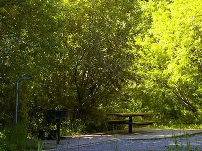 Malad Summit CampgroundCampingPhoto: Recreation.gov (RIDB) / public domain2.3 mi
- Malad Summit Guard StationCamping2.7 mi
- Wright CreekCanoeing5 mi
- Hawkins Reservoir CampgroundCamping9.6 mi
- Little Malad RiverCanoeing9.8 mi
Source: Roamze catalog (indexable pages within 10 miles, PostGIS distance)
 Cherry Creek-Curly JackHiking · ~12 min drivePhoto: makhtuz, CC BY 3.0 (via Wikimedia Commons)
- REED CANYON CONNECTORHiking · ~1 min drive
- WRIGHT CREEK NAT. RECREATION THiking · ~4 min drive
- EAST FORK OF WRIGHT CREEKHiking · ~7 min drive
- WEST WAKELY PEAKHiking · ~3 min drive
- SUMMIT TO ROWLEY CANYONHiking · ~4 min drive
- Wursten Springs Cut-OffHiking · ~7 min drive
- INDIAN MILL TO CLIFF CANYONHiking · ~3 min drive
- North Rowley CanyonHiking · ~5 min drive
- Big CreekHiking · ~8 min drive
