North Fork Cg
Campground
Campground · 2.1 mi from the trail
Alert in the area
The Forest Service lists 4 alerts for Sawtooth National Forest.
Paradise Prescribed Burn Restricted Access
Agency alert covering Sawtooth National Forest · USFS · Sawtooth National Forest
Grandjean Area, Road, and Trail Closure
Agency alert covering Sawtooth National Forest · Order 0414-04-165 · USFS · Sawtooth National Forest
Over-Snow Vehicle and Bicycle Prohibitions
Agency alert covering Sawtooth National Forest · Order 0414-00-028 · USFS · Sawtooth National Forest
Occupancy and Use - Food Storage
Agency alert covering Sawtooth National Forest · Order 0414-04-143 · USFS · Sawtooth National Forest
As of · Source: USFS · Sawtooth National Forest. Agencies don't list every closure — check before you go.
North Fork Loop is a 1.7-mile loop in Idaho's Sawtooth National Forest, within the Ketchum Ranger District. The trail is an easy walk with a total elevation gain of 210 feet, rising from about 6,100 feet to about 6,350 feet. The Forest Service manages the land, and the trail is open year-round. Summer is the most comfortable time to go. Typical averages from a nearby weather station in Ketchum show July highs around 80°F with lows near 45°F, and snow is common from November through April. The trail is natural-surfaced and allows bikes, so it works for hikers and riders alike. The loop takes about half a day to complete. Chocolate Gulch is just 0.4 miles away, and Saddle Trail is about 1.4 miles off. North Fork Campground sits roughly 2 miles away, and the Sawtooth National Recreation Area is about 2.2 miles away.
North Fork Cg
Campground
The Sun Valley Club
Restaurant
Sun Valley Museum of Art
Museum
Places © OpenStreetMap contributors
More in KetchumNot on Roamze yet. Their page has how to reach them.
Best months: May–September. Best months have typical highs of 55–85 °F, lows of 30 °F or warmer (32 °F where the station doesn't record snow), at most one snowy day and no more than 12 wet days.
Jan
31° / 8°
10 wet · 9 snow
Feb
35° / 11°
9 wet · 7 snow
Mar
43° / 19°
8 wet · 5 snow
Apr
52° / 27°
7 wet · 2 snow
May
62° / 35°
8 wet
Jun
70° / 40°
7 wet
Jul
80° / 45°
5 wet
Aug
79° / 43°
4 wet
Sep
69° / 36°
4 wet
Oct
56° / 28°
5 wet · 1 snow
Nov
41° / 17°
7 wet · 4 snow
Dec
30° / 9°
10 wet · 9 snow
Typical high / low (°F) and days with rain or snow, 1991–2020. Measured at Ketchum Rs, ID, 5.7 mi away at 5,890 ft. Source: NOAA NCEI U.S. Climate Normals 1991–2020.
 Photo: ArtBrom, CC BY-SA 2.0 (via Flickr)
Trail Creek
~8 min drive
2.11-mile out-and-back trail at Trail Creek in Idaho with 65 ft of elevation gain.
Photo: ArtBrom, CC BY-SA 2.0 (via Flickr)Corral Creek
~8 min drive
8.65-mile out-and-back trail in Idaho with 350 ft gain.
HIKE
Chocolate Gulch
Next door
5.60-mile out-and-back trail in Idaho with 557 ft elevation gain.
HIKE
OSBERG RIDGELINE TRAIL
~11 min drive
22.56-mile out-and-back trail in Idaho with 6,112 ft elevation gain and 9,552 ft max elevation.
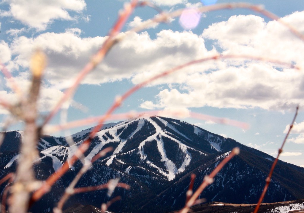 Photo: Chloé François, CC BY 2.0 (via Flickr)
Aspen Loop
~8 min drive
2.60-mile out-and-back trail in Idaho with 637 ft elevation gain.
Photo: ArtBrom, CC BY-SA 2.0 (via Flickr)Proctor Mountain
~8 min drive
8.80-mile out-and-back hike to Proctor Mountain summit in Idaho with 1,097 ft gain.
HIKE
Saddle Trail
~2 min drive
3.80-mile out-and-back trail in Idaho with 419 ft of elevation gain.
HIKE
EAST FORK BAKER CREEK
~14 min drive
17.58-mile out-and-back trail in Idaho with 4,286 ft elevation gain.
 Photo: DieselDemon, CC BY 2.0 (via Flickr)
SOUTH BOULDER LOOP
~9 min drive
2.27-mile loop trail in Idaho with 249 ft gain and 274 ft loss.
 Photo: Fredlyfish4 at English Wikipedia, Public domain (via Wikimedia Commons)
BAKER CREEK
~13 min drive
18.98-mile out-and-back trail in Idaho with 1,665 ft elevation gain

