Mount Roothaan Trail
- 1.4 mi
- round trip
- 1,268 ft
- climb
- 7,131 ft
- high point
- Out and back
- route
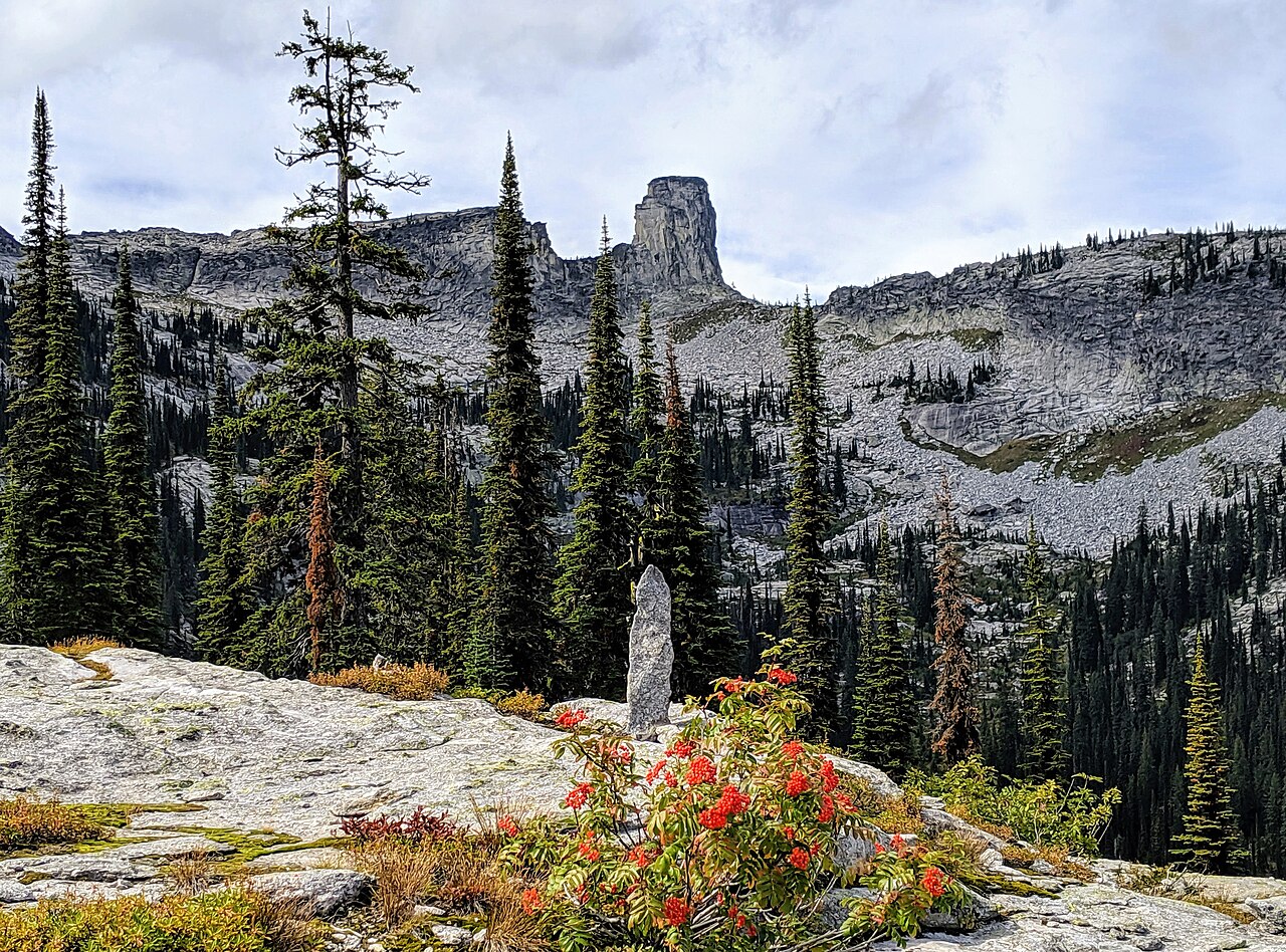
Mount Roothaan Trail is a moderate out-and-back hike in Idaho, managed by the State Department of Land. The trail is about 2.8 miles long, with a total elevation gain of 1,268 feet, and it climbs from a starting point of about 6,085 feet to a high point of 7,131 feet. The steepest stretch comes at about 1.2 miles in, where the grade reaches 41 percent. The route is a short, focused climb, and the estimated time is about 1.5 hours. The trail is a round trip, so the 1,268 feet of gain is the total for the whole hike. Chimney Rock, a climbing area, sits about 1.6 miles away, and Hunt Lake Trail is about 1.8 miles off. Mccormick Lake is about 3.6 miles away, and Bartoo Island Boat-in Campground is about 7.1 miles away.
Local outfitters
- Nordman Resort10 mi away
- Kootenai River Campground38 mi away
Not on Roamze yet. Their page has how to reach them.
- Chimney RockRock climbing1.6 mi
- Hunt Lake TrailHiking1.8 mi
- West Face/Chimney RockRock climbing1.9 mi
- Mccormick LakeHiking3.6 mi
 Bartoo Island Boat-in CampgroundCampingPhoto: Recreation.gov (RIDB) / public domain7.1 mi
- Pack RiverCanoeing7.2 mi
 Reeder BayCampingPhoto: Recreation.gov (RIDB) / public domain7.3 mi
- Priest Lake AreaLake fishing8.3 mi
Source: Roamze catalog (indexable pages within 10 miles, PostGIS distance)
 Lakeview Mountain TrailHiking · ~18 min drivePhoto: Forest Service - Northern Region, Public Domain Mark (via Flickr)
 LakeshoreHiking · ~17 min drivePhoto: gcchang, CC BY-SA 2.0 (via Flickr)
- Hunt Lake TrailHiking · ~3 min drive
- BismarkHiking · ~18 min drivePhoto: Forest Service - Northern Region, Public Domain Mark (via Flickr)
- Mccormick LakeHiking · ~6 min drive
- Two Mouth TrailHiking · ~11 min drive
- NavigationHiking · ~18 min drivePhoto: gcchang, CC BY-SA 2.0 (via Flickr)
- Lone Star Loop TrailHiking · ~7 min drive
- Harrison LakeHiking · ~11 min drive
- Fault LakeHiking · ~10 min drive
Map and trail data © OpenStreetMap contributors
