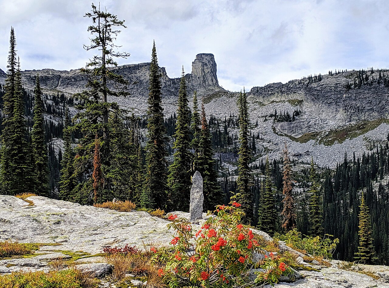
Mccormick Lake
- 1.0 mi
- round trip
- 209 ft
- climb
- 6,190 ft
- high point
- Out and back
- route
Is Mccormick Lake open right now?
Closure in the area
There's a closure order in Idaho Panhandle National Forests. It doesn't name Mccormick Lake, so check the source for the area it covers (3 listed).
Emergency Road Closure Lightning Creek / Forest Road 419
Agency closure covering Idaho Panhandle National Forests · Order 0104-06-26-002 · USFS · Idaho Panhandle National Forests
Abandoned Mines Area Closure
Agency closure covering Idaho Panhandle National Forests · Order 1-04-00-25-001 · USFS · Idaho Panhandle National Forests
Idaho Panhandle Seasonal Food Storage Order
Agency closure covering Idaho Panhandle National Forests · Order 01-04-00-24-001 · USFS · Idaho Panhandle National Forests
Beehive Lake Trail #279 Closure
Agency alert covering Sandpoint Ranger District · Order 01-04-06-26-007 · USFS · Sandpoint Ranger District
Heavy Truck Traffic on FS Road 209
Agency alert covering Idaho Panhandle National Forests · USFS · Idaho Panhandle National Forests
As of · Source: USFS · Idaho Panhandle National Forests. Agencies don't list every closure — check before you go.
McCormick Lake is an easy, short hike of about a mile on an out-and-back route in Idaho's Idaho Panhandle National Forests, within the Sandpoint Ranger District. The Forest Service manages the land, and the trail's natural surface makes it simple to walk or ride. The trip gains about 210 feet in elevation, from a low of roughly 5,970 feet to a high of about 6,190 feet. It works well as a quick outing in its own right or as a connector to other trails in the area. The most comfortable stretch for a visit runs from June through September, when the forest is typically open for hiking. For timing, plan on about an hour for the round trip. Hunt Lake Trail lies about 1.8 miles away, and Mccormick Ridge is about 2.4 miles off. Fault Lake is about 3.4 miles away, and the Pack River offers canoeing about 4.3 miles from the trail.
Local outfitters
- Nordman Resort12 mi away
- Kootenai River Campground36 mi away
Not on Roamze yet. Their page has how to reach them.
- Hunt Lake TrailHiking1.8 mi
- Mccormick RidgeHiking2.4 mi
- Fault LakeHiking3.4 mi
- Chimney RockRock climbing3.6 mi
- West Face/Chimney RockRock climbing3.7 mi
- Pack RiverCanoeing4.3 mi
- Fs Road 2667a (Roman Nose Campground)Camping7.6 mi
- Fs Road 2667 Spur (@ 48.63558, -116.56086)Camping7.6 mi
Source: Roamze catalog (indexable pages within 10 miles, PostGIS distance)
- Hunt Lake TrailHiking · ~3 min drive
- Mccormick RidgeHiking · ~4 min drive
- Cougar Rock TrailHiking · ~11 min drive
- Mount Roothaan TrailHiking · ~6 min drive
- Fault LakeHiking · ~6 min drive
- IDL Trail 22cHiking · ~11 min drive
- Harrison LakeHiking · ~13 min drive
- Beehive LakesHiking · ~11 min drive
- Bayview Loop TrailHiking · ~12 min drive
- CARIBOU LAKEHiking · ~15 min drive