Monson Creek to Elkhorn
- 1.3 mi
- round trip
- 1,314 ft
- climb
- 6,258 ft
- high point
- Out and back
- route
- May–Jun, Sep
- best months
Is MONSON CREEK TO ELKHORN open right now?
No closures listed
The Forest Service lists no closures for Caribou-Targhee National Forest.
As of · Source: USFS · Caribou-Targhee National Forest. Agencies don't list every closure — check before you go.
Monson Creek to Elkhorn is a moderate out-and-back hike in Idaho's Caribou-Targhee National Forest, within the Westside Ranger District. The route is about 2.5 miles long, with a total elevation gain of 1,314 feet, and it starts at roughly 6,109 feet. The high point reaches about 6,258 feet, and the steepest stretch comes within the first tenth of a mile, with a grade of about 16 percent. The most comfortable months for a visit are typically June and September. Typical averages from a nearby weather station in Downey run to highs around 78°F in June and 77°F in September, while July and August average in the upper 80s. That station sits well below the trail, so temperatures on the route run cooler. The hike takes about 1.5 hours to complete. Monson Canyon lies just 0.1 mile away, and Kents Canyon is about 1.9 miles off. For an overnight stay, Malad Summit Campground is about 4.8 miles away, and the Little Malad River offers canoeing at a similar distance.
- Monson CanyonHiking0.1 mi
- KENTS CANYONHiking1.9 mi
- Secret Springs Station ConnectHiking3.7 mi
- MILL CANYONHiking3.9 mi
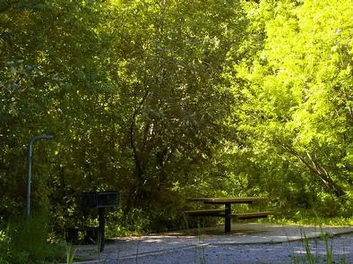 Malad Summit CampgroundCampingPhoto: Recreation.gov (RIDB) / public domain4.8 mi
- Little Malad RiverCanoeing4.8 mi
- Malad Summit Guard StationCamping5.3 mi
- Wright CreekCanoeing6.7 mi
Source: Roamze catalog (indexable pages within 10 miles, PostGIS distance)
 Cherry Creek-Curly JackHiking · ~13 min drivePhoto: makhtuz, CC BY 3.0 (via Wikimedia Commons)
- OLD CANYONHiking · ~8 min drive
- SUMMIT TO ROWLEY CANYONHiking · ~9 min drive
- WRIGHT CREEK NAT. RECREATION THiking · ~9 min drive
- KENTS CANYONHiking · ~3 min drive
- OLD CANYON-STATION CANYON CONHiking · ~8 min drive
- SUMMIT TO STATION CANYONHiking · ~9 min drive
- Secret Springs Station ConnectHiking · ~6 min drive
- North Elkhorn RidgeHiking · ~9 min drive
- REED CANYON CONNECTORHiking · ~10 min drive
Best time to visit MONSON CREEK TO ELKHORN
Best months: May–June and September. Best months have typical highs of 55–85 °F, lows of 30 °F or warmer (32 °F where the station doesn't record snow), at most one snowy day and no more than 12 wet days.
Jan
32° / 14°
Feb
37° / 18°
Mar
48° / 25°
Apr
58° / 31°
May
67° / 38°
Jun
78° / 44°
Jul
89° / 51°
Aug
88° / 49°
Sep
77° / 41°
Oct
62° / 31°
Nov
46° / 23°
Dec
34° / 16°
Typical high / low (°F) and days with rain or snow, 1991–2020. Measured at Downey, ID, 14.1 mi away at 4,865 ft. The station sits about 1,400 ft lower than this place, so expect it a little cooler here. This station doesn't record snowfall. Source: NOAA NCEI U.S. Climate Normals 1991–2020.
