Kents Canyon
- 5.1 mi
- round trip
- 3,694 ft
- climb
- 8,082 ft
- high point
- Out and back
- route
Is KENTS CANYON open right now?
No closures listed
The Forest Service lists no closures for Caribou-Targhee National Forest.
As of · Source: USFS · Caribou-Targhee National Forest. Agencies don't list every closure — check before you go.
Kents Canyon is a hard hike in Idaho's Caribou-Targhee National Forest, within the Westside Ranger District. The route is an out-and-back of about 10 miles, with a total elevation gain of 3,694 feet. The climb starts at 5,848 feet and reaches a high point of 8,082 feet, and the steepest stretch comes at about 2.9 miles in, where the grade reaches 32 percent. The trip takes about five hours. Plan for a long day with a significant climb, and expect the route to be rolling rather than a single, continuous ascent. Several other hikes sit within a couple of miles, including Monson Creek to Elkhorn and Monson Canyon, both about 1.9 miles away, and Secret Springs Station Connect at 2.5 miles. For an overnight stay, Malad Summit Campground is about 4.8 miles away.
- MONSON CREEK TO ELKHORNHiking1.9 mi
- Monson CanyonHiking1.9 mi
- Secret Springs Station ConnectHiking2.5 mi
- OLD CANYONHiking3 mi
- Little Malad RiverCanoeing4.2 mi
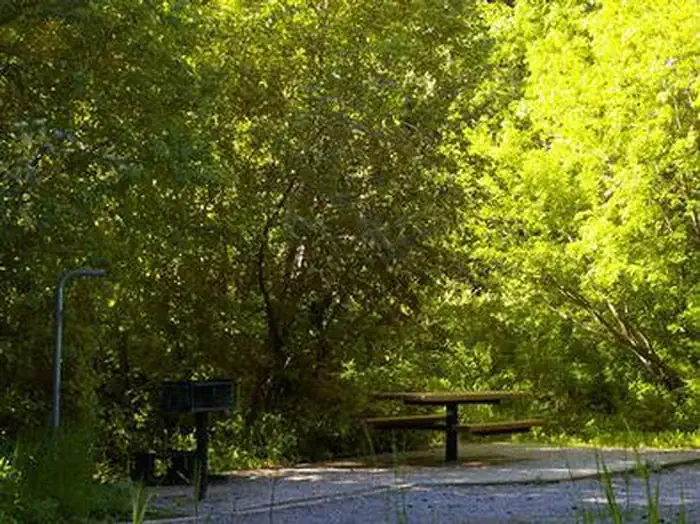 Malad Summit CampgroundCampingPhoto: Recreation.gov (RIDB) / public domain4.8 mi
- Malad Summit Guard StationCamping5.1 mi
- Wright CreekCanoeing8.4 mi
Source: Roamze catalog (indexable pages within 10 miles, PostGIS distance)
 Cherry Creek-Curly JackHiking · ~11 min drivePhoto: makhtuz, CC BY 3.0 (via Wikimedia Commons)
- Monson CanyonHiking · ~3 min drive
- OLD CANYONHiking · ~5 min drive
- WRIGHT CREEK NAT. RECREATION THiking · ~9 min drive
- Secret Springs Station ConnectHiking · ~4 min drive
- MONSON CREEK TO ELKHORNHiking · ~3 min drive
- OLD CANYON-STATION CANYON CONHiking · ~6 min drive
- INDIAN MILL TO CLIFF CANYONHiking · ~10 min drive
- SUMMIT TO ROWLEY CANYONHiking · ~9 min drive
- North Elkhorn RidgeHiking · ~10 min drive
