Meadow Marsh Loop
- 0.6 mi
- round trip
- 334 ft
- climb
- 5,123 ft
- high point
- Out and back
- route
- Jun–Sep
- best months
Caution at last check
Weather is marginal · OpenWeather · checked 22 h ago
Meadow Marsh Loop is a short, easy out-and-back hike in Ponderosa State Park in Idaho, managed by State Park and Recreation. The route is about 1.2 miles long, with a total elevation gain of 334 feet, and it starts and ends at roughly 5,100 feet. The climb is steady, with the steepest stretch at about 0.17 miles in, and the high point reaches about 5,120 feet. Summer is the most comfortable time to go. Typical averages from a nearby weather station at McCall show July and August highs around 81°F with only about four wet days a month, while winter highs stay near freezing. The loop makes an easy addition to a day in the park. University Drive and Aspen Loop, both cross-country ski routes, sit about 0.3 miles away. Climbers can head to the McCall Area, about 2.5 miles off, and Lake Fork campground is about 6.5 miles away.
Local outfitters
- Black Bear RV Park3 mi away
- Arrowhead RV Park29 mi away
Not on Roamze yet. Their page has how to reach them.
- University DriveCross-country skiing0.3 mi
- Aspen LoopCross-country skiing0.3 mi
- McCall AreaRock climbing2.5 mi
- The Thinking SpotRock climbing4.8 mi
- Lake ForkCamping6.5 mi
- Last ChanceCamping6.6 mi
- Goose CreekCanoeing7.1 mi
- East Branch Goose CreekCanoeing9.1 mi
Source: Roamze catalog (indexable pages within 10 miles, PostGIS distance)
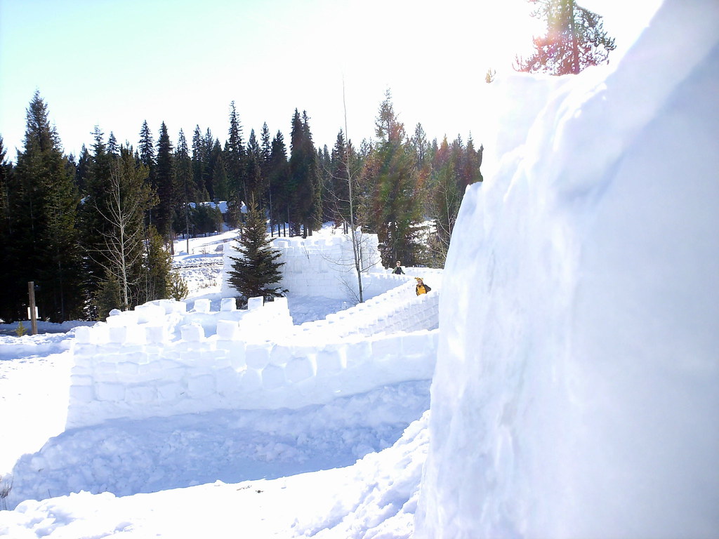 Peninsula TrailHiking · Next doorPhoto: Stupid Dingo, CC BY 2.0 (via Flickr)
- Huckleberry LoopHiking · Next door
- Fall Creek LoopHiking · ~4 min drive
- Crestline TrailHiking · ~6 min drive
 Ridgeline TrailHiking · ~2 min drivePhoto: waterarchives, CC BY-SA 2.0 (via Flickr)
- Rising SunHiking · ~6 min drive
- Brundage-Bear BasinHiking · ~7 min drive
- Fall Creek TrailHiking · ~11 min drive
- Huckleberry LoopHiking · Next door
- WestyHiking · ~6 min drive
Best time to visit Meadow Marsh Loop
Best months: June–September. Best months have typical highs of 55–85 °F, lows of 30 °F or warmer (32 °F where the station doesn't record snow), at most one snowy day and no more than 12 wet days.
Jan
31° / 13°
15 wet
Feb
35° / 15°
13 wet
Mar
42° / 21°
16 wet
Apr
50° / 28°
13 wet
May
61° / 36°
13 wet
Jun
69° / 42°
10 wet
Jul
81° / 47°
4 wet
Aug
81° / 45°
4 wet
Sep
71° / 38°
6 wet
Oct
56° / 29°
9 wet
Nov
40° / 21°
13 wet
Dec
30° / 14°
15 wet
Typical high / low (°F) and days with rain or snow, 1991–2020. Measured at Mccall Ap, ID, 3.4 mi away at 5,013 ft. This station doesn't record snowfall. Source: NOAA NCEI U.S. Climate Normals 1991–2020.
Map and trail data © OpenStreetMap contributors
