Huckleberry Loop
- 0.4 mi
- round trip
- 90 ft
- climb
- 5,121 ft
- high point
- Out and back
- route
- Jun–Sep
- best months
Huckleberry Loop is a short out-and-back trail in Idaho covering 0.82 miles with 90 feet of elevation gain. The trail reaches a maximum elevation of 5,121 feet.
Local outfitters
- Black Bear RV Park3 mi away
- Arrowhead RV Park30 mi away
Not on Roamze yet. Their page has how to reach them.
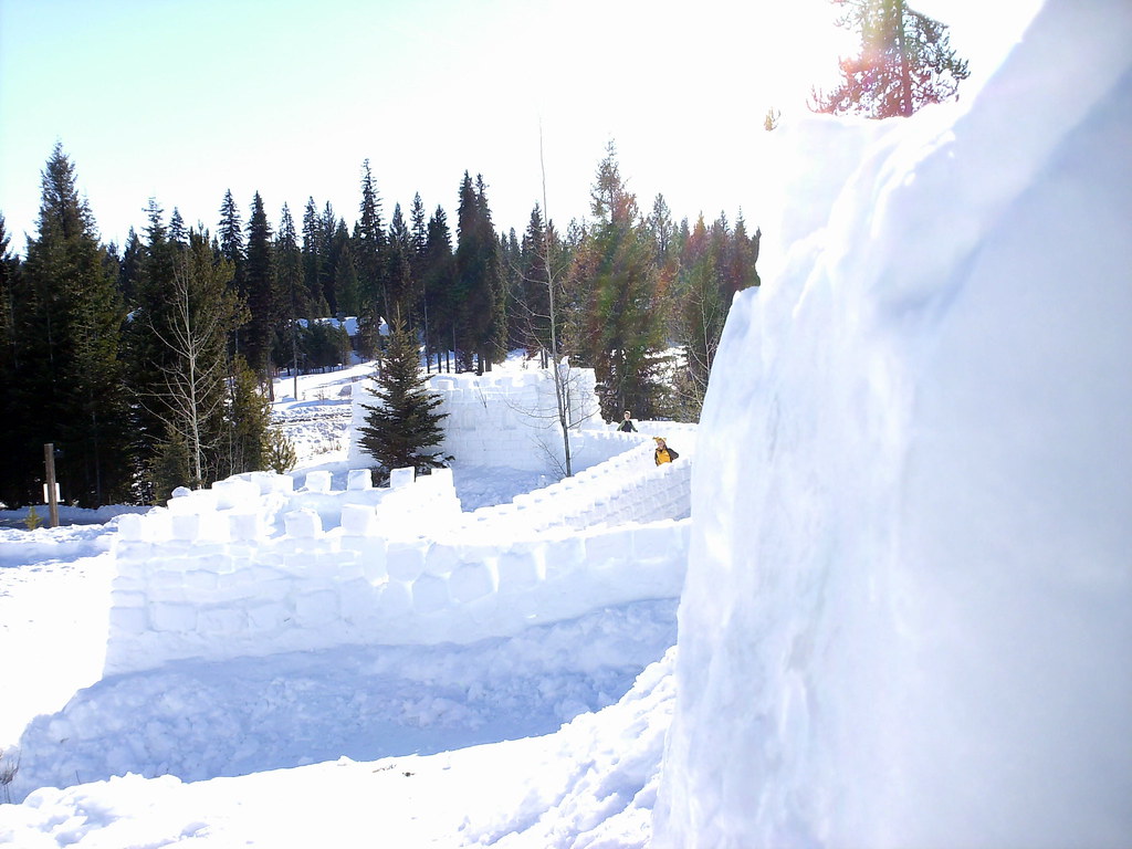 Peninsula TrailHiking · ~1 min drivePhoto: Stupid Dingo, CC BY 2.0 (via Flickr)
- Huckleberry LoopHiking · Next door
- Fall Creek LoopHiking · ~4 min drive
- Crestline TrailHiking · ~6 min drive
 Ridgeline TrailHiking · ~2 min drivePhoto: waterarchives, CC BY-SA 2.0 (via Flickr)
- Rising SunHiking · ~7 min drive
- Brundage-Bear BasinHiking · ~7 min drive
- Fall Creek TrailHiking · ~11 min drive
- Lilly Marsh TrailHiking · Next door
- Polar ExpressHiking · ~7 min drive
Best time to visit Huckleberry Loop
Best months: June–September. Best months have typical highs of 55–85 °F, lows of 30 °F or warmer (32 °F where the station doesn't record snow), at most one snowy day and no more than 12 wet days.
Jan
31° / 13°
15 wet
Feb
35° / 15°
13 wet
Mar
42° / 21°
16 wet
Apr
50° / 28°
13 wet
May
61° / 36°
13 wet
Jun
69° / 42°
10 wet
Jul
81° / 47°
4 wet
Aug
81° / 45°
4 wet
Sep
71° / 38°
6 wet
Oct
56° / 29°
9 wet
Nov
40° / 21°
13 wet
Dec
30° / 14°
15 wet
Typical high / low (°F) and days with rain or snow, 1991–2020. Measured at Mccall Ap, ID, 3.5 mi away at 5,013 ft. This station doesn't record snowfall. Source: NOAA NCEI U.S. Climate Normals 1991–2020.
Map and trail data © OpenStreetMap contributors
