Thunder Mountain Historic
- 21.6 mi
- round trip
- 3,465 ft
- climb
- 9,068 ft
- high point
- Out and back
- route
Is Thunder Mountain Historic open right now?
Alert in the area
The Forest Service lists an alert for Salmon-Challis National Forest.
Stoddard Bridge Construction Closure
Agency alert covering Salmon-Challis National Forest · Order 0413-07-17 · USFS · Salmon-Challis National Forest
As of · Source: USFS · Salmon-Challis National Forest. Agencies don't list every closure — check before you go.
Thunder Mountain Historic is a hard hike in Idaho's Salmon-Cobalt Ranger District of the Salmon-Challis National Forest, about 21.6 miles long with a one-way elevation gain of 3,465 feet. The trail is an out-and-back that climbs from a low point of 5,855 feet to a high point of 9,068 feet, and it is open year-round. The route is on natural surface, and it allows both horses and bikes. The Forest Service manages the land, and the trail is part of the national forest system. Williams Lake Campground sits about 1.6 miles away, and the Rattlesnake and Henry Creek hikes are each within about 2 miles. Shoup Bridge Campground is roughly 9 miles off.
- Williams Lake CampgroundHiking1.6 mi
- RattlesnakeHiking1.8 mi
- Henry CreekHiking2 mi
- Williams Lake HandicappedHiking2.1 mi
- Lake MountainHiking3 mi
- North Fork Iron CreekHiking3.4 mi
- Deer CreekHiking4.1 mi
- Shoup Bridge CampgroundCamping8.9 mi
Source: Roamze catalog (indexable pages within 10 miles, PostGIS distance)
 Lime CreekHiking · ~12 min drivePhoto: waterarchives, CC BY-SA 2.0 (via Flickr)
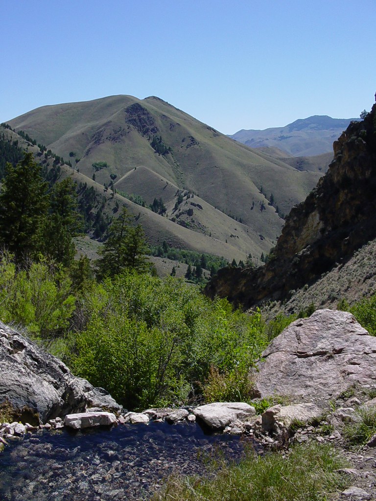 Goldbug Hot Springs TrailHiking · ~14 min drivePhoto: Ben B Miller, CC BY-SA 2.0 (via Flickr)
- Williams Lake CampgroundHiking · ~3 min drive
- Thunder Mountain HistoricHiking · ~17 min drive
- RattlesnakeHiking · ~3 min drive
- Lake MountainHiking · ~5 min drive
- Williams Lake HandicappedHiking · ~4 min drive
- Henry CreekHiking · ~4 min drive
- Powderhouse Gulch TrailHiking · ~10 min drive
- Wapiti Meadows TrailHiking · ~11 min drive
