Badger Basin
- 5.7 mi
- round trip
- 2,935 ft
- climb
- 7,898 ft
- high point
- Out and back
- route
- Jun–Sep
- best months
Badger Basin is a moderate out-and-back hike on Bureau of Land Management land in Idaho's Salmon Field Office, about 5.7 miles long with a one-way elevation gain of 2,935 feet. The trail rises from a low point of about 4,962 feet to a high of about 7,898 feet, making it a climb for anyone heading up to the basin. The route is on natural surface, and it is open to both horses and bikes, so riders and pack animals can join the trip. The land is managed by the Bureau of Land Management, and the trail is open year-round. Summer is the most comfortable time to go. Typical averages from a nearby weather station in Jackson, Montana, show July highs around 77°F with lows near 42°F, and the station sits about 1,400 feet lower than the trail's high point, so temperatures up top run cooler. Several other hikes lie within a few miles, including Deer Creek, Old Indian Trail and Lime Creek, and Iron Lake Campground is about 7 miles away for an overnight stay.
- Deer CreekHiking4 mi
- Old Indian TrailHiking4 mi
 Lime CreekHikingPhoto: waterarchives, CC BY-SA 2.0 (via Flickr)4.1 mi
- Warm SpringsCross-country skiing4.4 mi
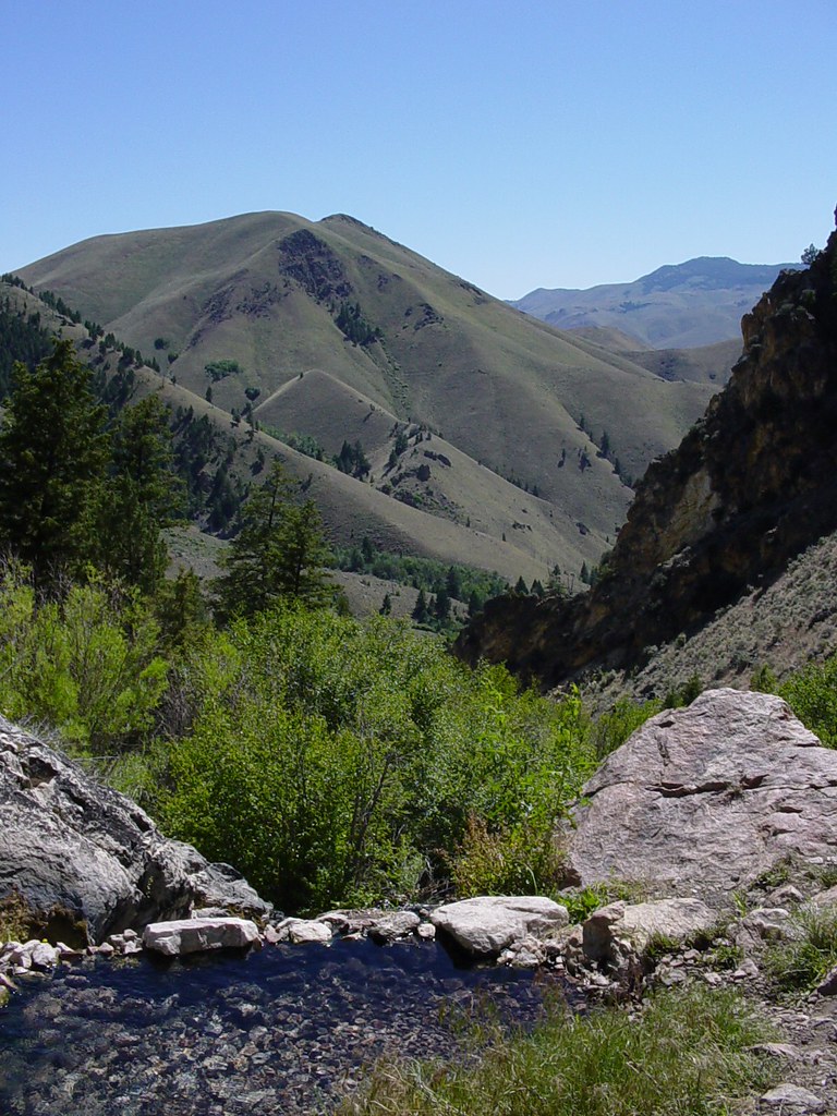 Goldbug Hot Springs TrailHikingPhoto: Ben B Miller, CC BY-SA 2.0 (via Flickr)4.7 mi
- RattlesnakeHiking4.9 mi
- Iron Lake CampgroundCamping7.3 mi
- Williams Lake CampgroundCamping7.7 mi
Source: Roamze catalog (indexable pages within 10 miles, PostGIS distance)
- Lime CreekHiking · ~7 min drivePhoto: waterarchives, CC BY-SA 2.0 (via Flickr)
- Goldbug Hot Springs TrailHiking · ~8 min drivePhoto: Ben B Miller, CC BY-SA 2.0 (via Flickr)
 Mckim CreekHiking · ~14 min drivePhoto: User:akampfer, CC BY-SA 3.0 (via Wikimedia Commons)
- Thunder Mountain HistoricHiking · ~16 min drive
- Deer CreekHiking · ~7 min drive
- NORTH FORK HAT CREEKHiking · ~10 min drive
- Williams Lake CampgroundHiking · ~13 min drive
- Old Indian TrailHiking · ~7 min drive
- Middle Fork Hat CreekHiking · ~11 min drive
- Mckim StockHiking · ~13 min drive
Best time to visit Badger Basin
Best months: June–September. Best months have typical highs of 55–85 °F, lows of 30 °F or warmer (32 °F where the station doesn't record snow), at most one snowy day and no more than 12 wet days.
Jan
28° / 8°
6 wet
Feb
31° / 8°
6 wet
Mar
39° / 16°
8 wet
Apr
46° / 23°
9 wet
May
57° / 31°
10 wet
Jun
66° / 37°
9 wet
Jul
77° / 42°
6 wet
Aug
76° / 39°
5 wet
Sep
66° / 32°
4 wet
Oct
51° / 25°
5 wet
Nov
36° / 14°
7 wet
Dec
27° / 7°
7 wet
Typical high / low (°F) and days with rain or snow, 1991–2020. Measured at Jackson, MT, 44.1 mi away at 6,480 ft. The station sits about 1,400 ft lower than this place, so expect it a little cooler here. This station doesn't record snowfall. Source: NOAA NCEI U.S. Climate Normals 1991–2020.

