Lightning Ridge
- 3.6 mi
- round trip
- 86 ft
- climb
- 4,977 ft
- high point
- Out and back
- route
- May–Jun, Sep
- best months
Is Lightning Ridge open right now?
Closure in the area
There's a closure order in Boise National Forest. It doesn't name Lightning Ridge, so check the source for the area it covers.
UPDATED Sept. 19 - Crooked Fire Area, Road, and Trail Closure
Agency closure covering Boise National Forest · Order 0402-03-140 · USFS · Boise National Forest
Lava Fire Road Closure
Agency alert covering Boise National Forest · Order 0402-06-84 · USFS · Boise National Forest
As of · Source: USFS · Boise National Forest. Agencies don't list every closure — check before you go.
Lightning Ridge is a moderate out-and-back hike in the Emmett Ranger District of Boise National Forest in Idaho, about 3.6 miles long with an elevation gain of 86 feet. The Forest Service manages the land, and the trail is on natural surface, so it works for hikers, horses and bikes. The most comfortable months for a visit are typically June and September. Typical averages from the nearby Lowman weather station run from highs around 77°F and lows near 41°F in June to highs around 76°F and lows near 37°F in September. That station sits roughly 1,000 feet below the ridge, so temperatures up high run cooler. Nearby, Granite Basin and Lightning Basin are both hikes within about 4.5 miles. Rattlesnake campground is about 4.9 miles away, and the Payette River: Confluence fishing spot is about 9 miles off.
Local outfitters
- Riverpond Campground8 mi away
- Arrowhead RV Park23 mi away
Not on Roamze yet. Their page has how to reach them.
Best time to go · May–Jun, Sep
Best time to visit Lightning Ridge
Best months: May–June and September. Best months have typical highs of 55–85 °F, lows of 30 °F or warmer (32 °F where the station doesn't record snow), at most one snowy day and no more than 12 wet days.
Jan
34° / 16°
Feb
40° / 17°
Mar
49° / 25°
Apr
56° / 30°
May
68° / 35°
Jun
77° / 41°
Jul
87° / 45°
Aug
86° / 42°
Sep
76° / 37°
Oct
61° / 28°
Nov
43° / 22°
Dec
33° / 16°
Typical high / low (°F) and days with rain or snow, 1991–2020. Measured at Lowman, ID, 14.9 mi away at 3,920 ft. The station sits about 1,100 ft lower than this place, so expect it a little cooler here. This station doesn't record snowfall. Source: NOAA NCEI U.S. Climate Normals 1991–2020.
Keep exploring — more trails worth the drive
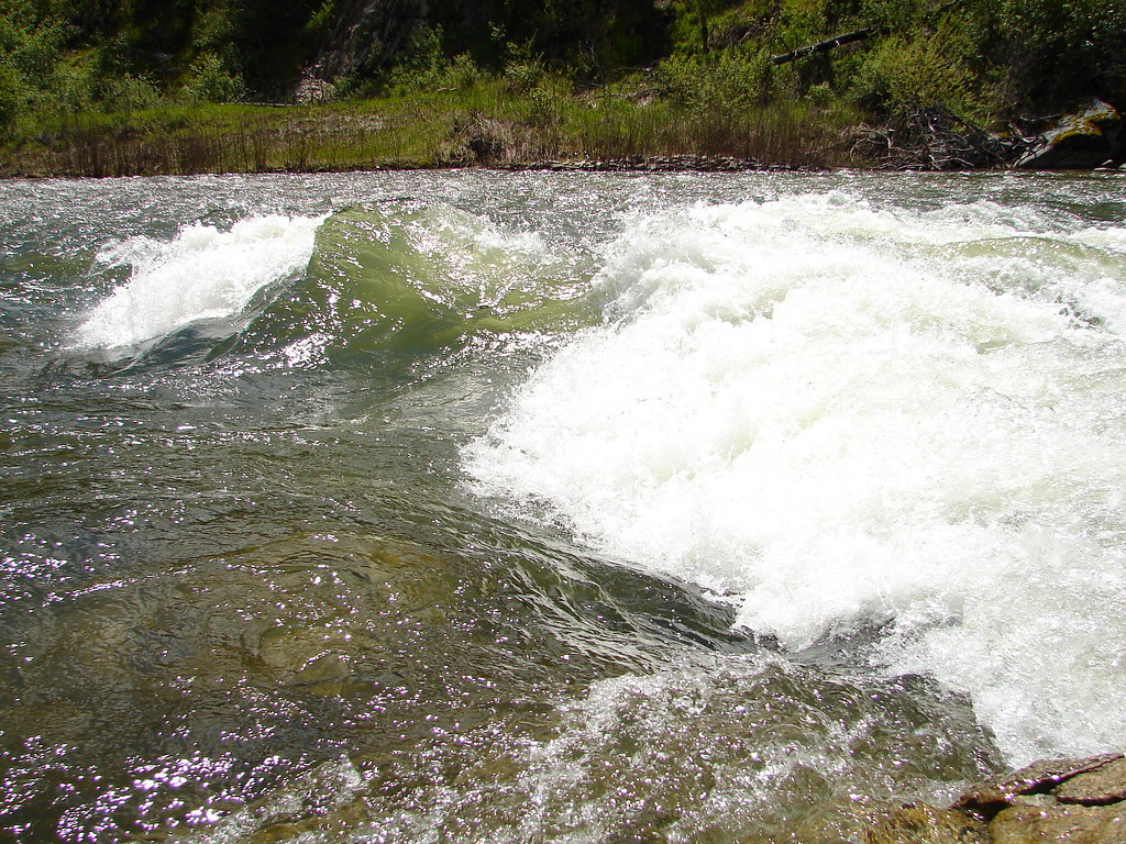 Photo: Fokket, CC BY 2.0 (via Flickr)
Station Creek
~15 min drive
4.33-mile out-and-back trail at Station Creek in Idaho with 1,250 ft gain
HIKE
Onion Valley
~8 min drive
4.39-mile out-and-back trail in Idaho with 1,386 ft elevation gain.
HIKE
Anderson Creek
~9 min drive
Anderson Creek is an 11.03-mile out-and-back trail in Idaho with 1,942 ft of elevation gain.
HIKE
MAIN SCRIVER LOOP
~11 min drive
2.54-mile loop in Idaho with 735 ft gain and 1,026 ft loss.
HIKE
Granite Basin
~7 min drive
4.41-mile out-and-back trail in Idaho with 855 ft elevation gain.
HIKE
Lightning Ridge
~9 min drive
11.67-mile out-and-back trail in Idaho with 475 ft elevation gain.
HIKE
TABLE MOUNTAIN
~13 min drive
24.8-mile out-and-back trail in Idaho with 4,054 ft elevation gain and 5,734 ft max elevation.
HIKE
Garden Valley Trail
~13 min drive
1.34-mile out-and-back trail in Idaho with 117 ft of elevation gain.
HIKE
DANSKIN CREEK
~16 min drive
7.1-mile out-and-back trail in Idaho with 1,788 ft elevation gain and loss.
HIKE
Scott Mountain
~11 min drive
13.47-mile out-and-back trail in Idaho with 3,077 ft elevation gain.
