Main Scriver Loop
- 2.5 mi
- loop
- 735 ft
- climb
- 4,803 ft
- high point
- Loop
- route
- Jun–Sep
- best months
Caution today
Agency alerts are in effect for this area; weather is marginal · USFS, OpenWeather · checked just now
Is MAIN SCRIVER LOOP open right now?
Closure in the area
There's a closure order in Boise National Forest. It doesn't name MAIN SCRIVER LOOP, so check the source for the area it covers.
UPDATED Sept. 19 - Crooked Fire Area, Road, and Trail Closure
Agency closure covering Boise National Forest · Order 0402-03-140 · USFS · Boise National Forest
Lava Fire Road Closure
Agency alert covering Boise National Forest · Order 0402-06-84 · USFS · Boise National Forest
As of · Source: USFS · Boise National Forest. Agencies don't list every closure — check before you go.
Main Scriver Loop is a 2.5-mile hike in Idaho's Boise National Forest, within the Emmett Ranger District. The Forest Service manages the land, and the trail is rated easy, with a total elevation gain of 735 feet. The route starts at about 4,631 feet and reaches a high point of 4,803 feet. The steepest stretch comes at about 2.1 miles in, with a grade of 13 percent. The trail also descends a total of 1,026 feet, so the overall climb is not a net gain. Summer is the most comfortable time to go. Typical averages from a nearby weather station show July and August highs around 82°F with only four or five wet days a month, while winter highs stay near freezing. The trip takes about an hour. Bacon Creek and Table Mountain are both within about 3 miles, and the West Idaho climbing area is about 3.6 miles away. Rattlesnake campground is about 5.7 miles off.
Local outfitters
- Riverpond Campground9 mi away
- Arrowhead RV Park19 mi away
Not on Roamze yet. Their page has how to reach them.
- BACON CREEKHiking2.6 mi
- TABLE MOUNTAINHiking3.1 mi
- West IdahoRock climbing3.6 mi
- RattlesnakeCamping5.7 mi
- SIXMILE NORTH RIDGEHiking6.2 mi
- Cold Springs Group CampgroundCamping6.9 mi
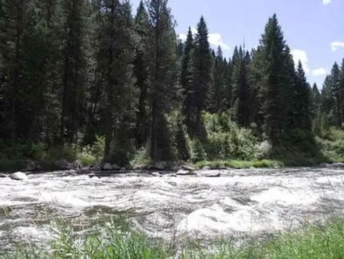 Cold Springs Campground - Boise NF (ID)CampingPhoto: Recreation.gov (RIDB) / public domain6.9 mi
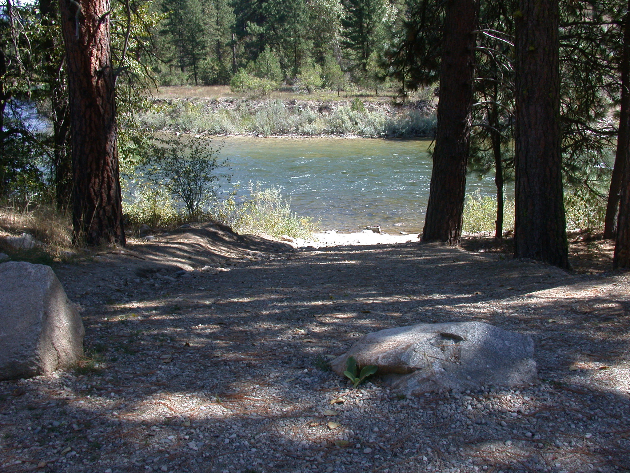 Payette River: ConfluenceRiver fishing9.2 mi
Source: Roamze catalog (indexable pages within 10 miles, PostGIS distance)
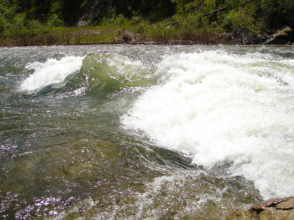 Station CreekHiking · ~21 min drivePhoto: Fokket, CC BY 2.0 (via Flickr)
- UPPER PINE CREEKHiking · ~13 min drive
- MOUNTAIN TOPHiking · ~14 min drive
- Anderson CreekHiking · ~19 min drive
- BACON CREEKHiking · ~4 min drive
- Lightning RidgeHiking · ~16 min drive
- Garden Valley TrailHiking · ~15 min drive
- Fool Creek TrailHiking · ~27 min drive
- SIXMILE NORTH RIDGEHiking · ~11 min drive
- Onion ValleyHiking · ~19 min drive
Best time to visit MAIN SCRIVER LOOP
Best months: June–September. Best months have typical highs of 55–85 °F, lows of 30 °F or warmer (32 °F where the station doesn't record snow), at most one snowy day and no more than 12 wet days.
Jan
32° / 15°
14 wet
Feb
37° / 17°
12 wet
Mar
45° / 24°
14 wet
Apr
53° / 30°
13 wet
May
63° / 37°
13 wet
Jun
70° / 43°
10 wet
Jul
82° / 48°
5 wet
Aug
82° / 47°
4 wet
Sep
73° / 40°
6 wet
Oct
58° / 31°
10 wet
Nov
42° / 24°
14 wet
Dec
31° / 16°
16 wet
Typical high / low (°F) and days with rain or snow, 1991–2020. Measured at Cascade 1 Nw, ID, 20 mi away at 4,896 ft. This station doesn't record snowfall. Source: NOAA NCEI U.S. Climate Normals 1991–2020.
